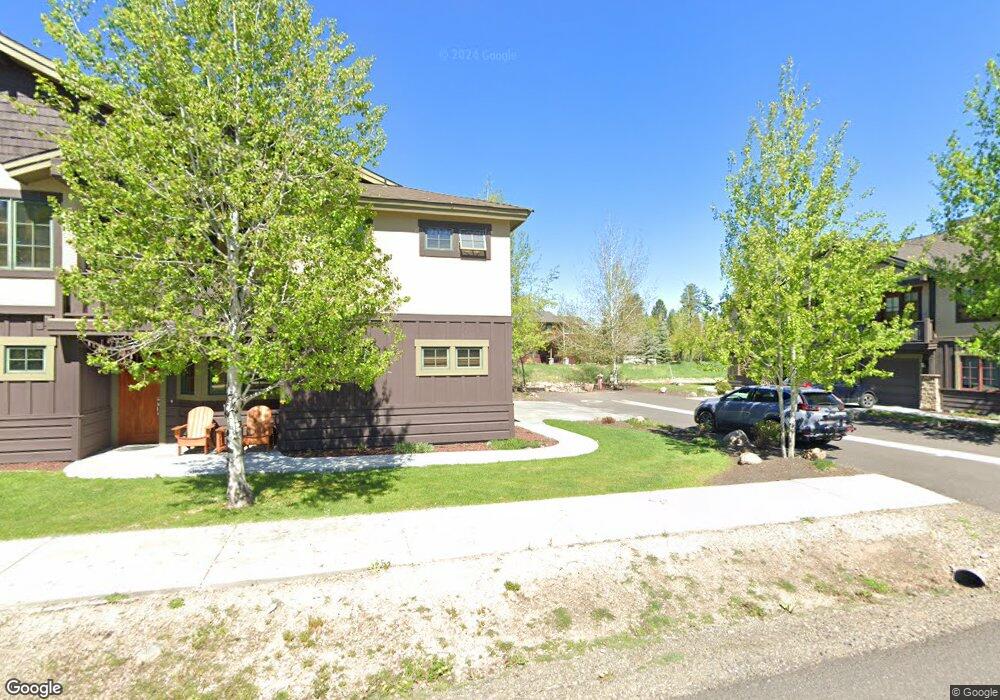
1509 Mccall Ave McCall, ID 83638
Estimated Value: $1,374,000 - $2,082,544
4
Beds
3
Baths
3,258
Sq Ft
$537/Sq Ft
Est. Value
About This Home
This home is located at 1509 Mccall Ave, McCall, ID 83638 and is currently estimated at $1,750,386, approximately $537 per square foot. 1509 Mccall Ave is a home located in Valley County with nearby schools including McCall-Donnelly High School, Mountain Life Education, and McCall Adventist Christian School.
Ownership History
Date
Name
Owned For
Owner Type
Purchase Details
Closed on
Mar 11, 2014
Sold by
Washington Federal Savings
Bought by
Brende Harold B and Brende Revoc H R
Current Estimated Value
Purchase Details
Closed on
Mar 22, 2010
Sold by
Price Emmett M and Price Karin M
Bought by
Washington Federal Savings
Purchase Details
Closed on
Dec 14, 2005
Sold by
Emmett Price And Sons Inc
Bought by
Price Emmett M and Price Karin M
Create a Home Valuation Report for This Property
The Home Valuation Report is an in-depth analysis detailing your home's value as well as a comparison with similar homes in the area
Home Values in the Area
Average Home Value in this Area
Purchase History
| Date | Buyer | Sale Price | Title Company |
|---|---|---|---|
| Brende Harold B | -- | First American Title | |
| Washington Federal Savings | $326,631 | -- | |
| Price Emmett M | -- | -- |
Source: Public Records
Tax History Compared to Growth
Tax History
| Year | Tax Paid | Tax Assessment Tax Assessment Total Assessment is a certain percentage of the fair market value that is determined by local assessors to be the total taxable value of land and additions on the property. | Land | Improvement |
|---|---|---|---|---|
| 2025 | $6,461 | $1,419,684 | $325,381 | $1,094,303 |
| 2023 | $6,461 | $1,271,201 | $325,381 | $945,820 |
| 2022 | $5,412 | $1,074,865 | $309,887 | $764,978 |
| 2021 | $9,253 | $1,241,266 | $375,628 | $865,638 |
| 2020 | $8,459 | $999,981 | $352,152 | $647,829 |
| 2019 | $7,916 | $849,150 | $234,767 | $614,383 |
| 2018 | $8,334 | $817,825 | $243,767 | $574,058 |
| 2017 | $8,782 | $808,143 | $244,514 | $563,629 |
| 2016 | $2,374 | $233,065 | $233,065 | $0 |
| 2015 | $1,235 | $233,065 | $0 | $0 |
| 2013 | -- | $160,724 | $0 | $0 |
Source: Public Records
Map
Nearby Homes
- 1520 Roosevelt Ave
- 1391 Greystone Dr
- 601 Hemlock St Unit 10
- 601 Hemlock St Unit 3
- 1517 Roosevelt Ave
- 1305 Greystone Dr
- 1305 Greystone Dr Unit 2
- 622 Blue Water Cir
- 611 Blue Water Cir
- 1630 Davis Ave Unit C18
- 1630 Davis Ave Unit B13
- 1630 Davis Ave Unit 19
- 2 Spruce St
- 2 Spruce St Unit 6
- 1543 Mccall Ave
- 712 Reedy Ln
- 703 Wooley Ave
- 717 Spruce St
- 703 Bridle Path Way
- 628 Ruby St Unit B-20
- 1509 Mccall Ave Unit 18
- 1516 Mccall Ave N
- 507 Hemlock St Unit 23
- 507 Hemlock St Unit 71
- 507 Hemlock St Unit 21
- 507 Hemlock St Unit 69
- 507 Hemlock St Unit 11
- 507 Hemlock St Unit 13
- 507 Hemlock St
- 507 Hemlock St Unit 24
- 507 Hemlock St
- 507 Hemlock St Unit A-61
- 507 Hemlock St Unit 71
- 507 Hemlock St Unit A-61 (commonly known
- 507 Hemlock St
- 1504 Mccall Ave N
- 1504 Mccall Ave N Unit 1
- 507, #69 Hemlock St
- 1505 Mccall Ave N
- 507 Unit 23 Hemlock St