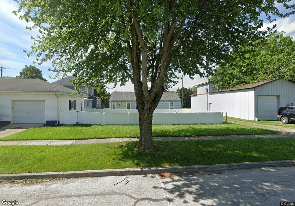
1509 North St Fremont, OH 43420
Estimated Value: $57,000 - $107,000
2
Beds
1
Bath
800
Sq Ft
$95/Sq Ft
Est. Value
About This Home
This home is located at 1509 North St, Fremont, OH 43420 and is currently estimated at $76,186, approximately $95 per square foot. 1509 North St is a home located in Sandusky County with nearby schools including Fremont Ross High School, St. Ann Catholic School, and St. Joseph School.
Ownership History
Date
Name
Owned For
Owner Type
Purchase Details
Closed on
Dec 4, 2021
Sold by
Jsb Fremont Llc
Bought by
Held Rebecca
Current Estimated Value
Home Financials for this Owner
Home Financials are based on the most recent Mortgage that was taken out on this home.
Original Mortgage
$32,000
Interest Rate
3.14%
Mortgage Type
New Conventional
Purchase Details
Closed on
Oct 1, 2012
Sold by
Babione James M and Babione Sheryl L
Bought by
Jsb Fremont Llc
Purchase Details
Closed on
Apr 1, 1991
Bought by
Jsb Fremont Llc
Create a Home Valuation Report for This Property
The Home Valuation Report is an in-depth analysis detailing your home's value as well as a comparison with similar homes in the area
Home Values in the Area
Average Home Value in this Area
Purchase History
| Date | Buyer | Sale Price | Title Company |
|---|---|---|---|
| Held Rebecca | $40,000 | First American Title | |
| Jsb Fremont Llc | -- | Attorney | |
| Jsb Fremont Llc | $20,000 | -- |
Source: Public Records
Mortgage History
| Date | Status | Borrower | Loan Amount |
|---|---|---|---|
| Previous Owner | Held Rebecca | $32,000 |
Source: Public Records
Tax History Compared to Growth
Tax History
| Year | Tax Paid | Tax Assessment Tax Assessment Total Assessment is a certain percentage of the fair market value that is determined by local assessors to be the total taxable value of land and additions on the property. | Land | Improvement |
|---|---|---|---|---|
| 2024 | $542 | $14,390 | $3,890 | $10,500 |
| 2023 | $542 | $12,850 | $3,470 | $9,380 |
| 2022 | $509 | $12,850 | $3,470 | $9,380 |
| 2021 | $525 | $12,850 | $3,470 | $9,380 |
| 2020 | $484 | $11,660 | $3,470 | $8,190 |
| 2019 | $483 | $11,660 | $3,470 | $8,190 |
| 2018 | $484 | $11,660 | $3,470 | $8,190 |
| 2017 | $453 | $10,860 | $3,470 | $7,390 |
| 2016 | $398 | $10,860 | $3,470 | $7,390 |
| 2015 | $392 | $10,860 | $3,470 | $7,390 |
| 2014 | $460 | $12,150 | $3,500 | $8,650 |
| 2013 | $450 | $12,150 | $3,500 | $8,650 |
Source: Public Records
Map
Nearby Homes
- 1548 North St
- 1120 Carbon St
- 1441 White Ave
- 1720 North St
- 1103 White Ave
- 1823 W State St
- 818 Franklin Ave
- 2100 Ohio 53
- 2935 Us Highway 6
- 711 Rawson Ave
- 900 Spring St
- 501 Jackson St Unit 50
- 2119 Lake St
- 1009 Napoleon St
- 515 Everett Rd
- 427 N Clover St
- 1730 Port Clinton Rd Unit 41
- 1730 Port Clinton Rd Unit 33
- 516 N Front St
- 0 Sean Dr