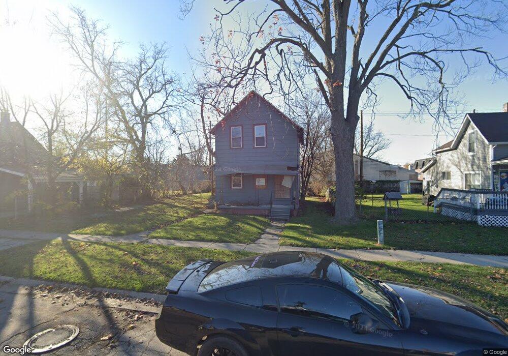
1509 Poplar St Port Huron, MI 48060
Estimated Value: $117,631 - $156,000
--
Bed
--
Bath
1,310
Sq Ft
$104/Sq Ft
Est. Value
About This Home
This home is located at 1509 Poplar St, Port Huron, MI 48060 and is currently estimated at $136,158, approximately $103 per square foot. 1509 Poplar St is a home located in St. Clair County with nearby schools including H.D. Crull Elementary School, Holland Woods Middle School, and Port Huron Northern High School.
Ownership History
Date
Name
Owned For
Owner Type
Purchase Details
Closed on
May 2, 2022
Sold by
Port Huron Neighborhood Housing Corporat
Bought by
Union Properties Construction Llc
Current Estimated Value
Purchase Details
Closed on
Mar 11, 2022
Sold by
City Of Port Huron
Bought by
Port Huron Neighborhood Housing Corporation
Purchase Details
Closed on
Jun 27, 2019
Sold by
St Clair County Treasurer
Bought by
City Of Port Huron
Create a Home Valuation Report for This Property
The Home Valuation Report is an in-depth analysis detailing your home's value as well as a comparison with similar homes in the area
Home Values in the Area
Average Home Value in this Area
Purchase History
| Date | Buyer | Sale Price | Title Company |
|---|---|---|---|
| Union Properties Construction Llc | $8,430 | Shoudy & Francis Pc | |
| Port Huron Neighborhood Housing Corporation | -- | None Listed On Document | |
| Port Huron Neighborhood Commission | -- | None Listed On Document | |
| City Of Port Huron | $8,310 | None Listed On Document |
Source: Public Records
Tax History Compared to Growth
Tax History
| Year | Tax Paid | Tax Assessment Tax Assessment Total Assessment is a certain percentage of the fair market value that is determined by local assessors to be the total taxable value of land and additions on the property. | Land | Improvement |
|---|---|---|---|---|
| 2025 | $1,321 | $19,100 | $0 | $0 |
| 2024 | $1,102 | $18,000 | $0 | $0 |
| 2023 | $1,044 | $16,100 | $0 | $0 |
| 2022 | $25 | $0 | $0 | $0 |
| 2020 | $0 | $0 | $0 | $0 |
| 2019 | $1,421 | $25,300 | $0 | $0 |
| 2018 | $1,723 | $25,300 | $0 | $0 |
| 2017 | $3,108 | $23,900 | $0 | $0 |
| 2016 | $1,130 | $23,900 | $0 | $0 |
| 2015 | $1,109 | $21,600 | $21,600 | $0 |
| 2014 | $1,109 | $20,600 | $20,600 | $0 |
| 2013 | -- | $20,700 | $0 | $0 |
Source: Public Records
Map
Nearby Homes
- 1433 Poplar St
- 1417 Kearney St
- 1620 McBrady St
- 1649 Whipple St
- 1733 Whipple St
- 917 Saint Clair St
- 1002 Erie St
- 711 Stanton St
- 1907 Riverside Dr
- 1819 Riverside Dr
- 1321 Nelson St
- 805 Pine Grove Ave
- 0000 Campau Ave
- 1203 Varney St
- 2400 Stone St Unit 2414
- 443 11th St
- 1109 Wells St
- 29 Taylor St
- 1013 Miller St
- 1819 Kern St