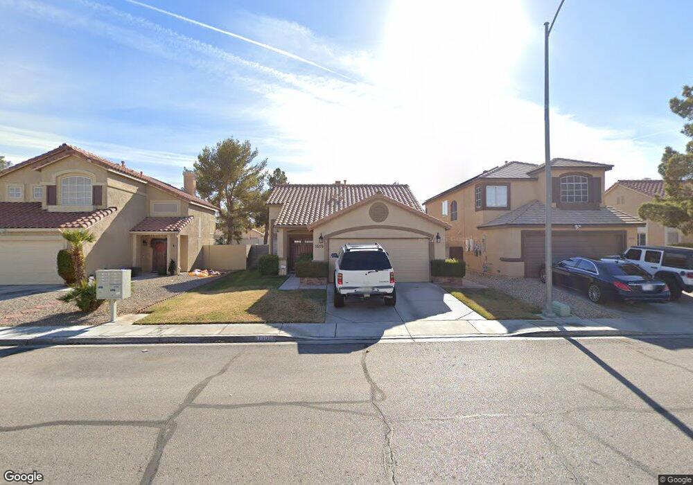
1509 Splinter Rock Way North Las Vegas, NV 89031
Craig Ranch NeighborhoodEstimated Value: $353,000 - $386,000
3
Beds
2
Baths
1,293
Sq Ft
$287/Sq Ft
Est. Value
About This Home
This home is located at 1509 Splinter Rock Way, North Las Vegas, NV 89031 and is currently estimated at $370,791, approximately $286 per square foot. 1509 Splinter Rock Way is a home located in Clark County with nearby schools including Lee Antonello Elementary School, Brian & Teri Cram Middle School, and Legacy High School.
Ownership History
Date
Name
Owned For
Owner Type
Purchase Details
Closed on
Jul 28, 1999
Sold by
Petcoff Steve Lawrence
Bought by
Petcoff Steve Lawrence and Petcoff Jennifer
Current Estimated Value
Home Financials for this Owner
Home Financials are based on the most recent Mortgage that was taken out on this home.
Original Mortgage
$98,567
Interest Rate
7.64%
Mortgage Type
FHA
Purchase Details
Closed on
May 12, 1994
Sold by
Pardee Construction Company Of Nevada
Bought by
Petcoff Steve Lawrence and Petcoff Daniel J
Home Financials for this Owner
Home Financials are based on the most recent Mortgage that was taken out on this home.
Original Mortgage
$97,393
Interest Rate
8.1%
Mortgage Type
FHA
Create a Home Valuation Report for This Property
The Home Valuation Report is an in-depth analysis detailing your home's value as well as a comparison with similar homes in the area
Home Values in the Area
Average Home Value in this Area
Purchase History
| Date | Buyer | Sale Price | Title Company |
|---|---|---|---|
| Petcoff Steve Lawrence | -- | Ati Title | |
| Petcoff Steve Lawrence | -- | Ati Title | |
| Petcoff Steve Lawrence | $98,500 | National Title Company |
Source: Public Records
Mortgage History
| Date | Status | Borrower | Loan Amount |
|---|---|---|---|
| Closed | Petcoff Steve Lawrence | $98,567 | |
| Closed | Petcoff Steve Lawrence | $97,393 |
Source: Public Records
Tax History Compared to Growth
Tax History
| Year | Tax Paid | Tax Assessment Tax Assessment Total Assessment is a certain percentage of the fair market value that is determined by local assessors to be the total taxable value of land and additions on the property. | Land | Improvement |
|---|---|---|---|---|
| 2025 | $1,238 | $79,346 | $31,500 | $47,846 |
| 2024 | $1,203 | $79,346 | $31,500 | $47,846 |
| 2023 | $1,203 | $74,590 | $29,050 | $45,540 |
| 2022 | $1,168 | $64,282 | $22,400 | $41,882 |
| 2021 | $1,186 | $60,895 | $21,000 | $39,895 |
| 2020 | $1,098 | $60,325 | $20,650 | $39,675 |
| 2019 | $1,029 | $57,133 | $17,850 | $39,283 |
| 2018 | $982 | $52,358 | $14,350 | $38,008 |
| 2017 | $1,719 | $51,232 | $12,600 | $38,632 |
| 2016 | $920 | $46,853 | $8,750 | $38,103 |
| 2015 | $917 | $37,790 | $7,000 | $30,790 |
| 2014 | $891 | $26,297 | $7,000 | $19,297 |
Source: Public Records
Map
Nearby Homes
- 5871 Prairie Ridge Cir
- 1515 Fort Dix Cir
- 1415 Black Hills Way
- 6056 Fort Wayne Ct
- 1611 Spotted Pony Dr
- 1323 Borderwood Ln
- 1642 Heather Ridge Rd
- 6126 Leaning Rock Ct
- 5823 Rose Sage St
- 5904 Arrowleaf St
- 5912 Hollowridge Rd
- 1901 Desert Sage Ave
- 5655 Indian Springs St
- 1009 Nawkee Dr
- 6241 Golden Rain St
- 6136 Benchmark Way
- 1003 Dover Glen Dr
- 6236 Badgerglen Place
- 920 Grey Hollow Ave
- 5624 Deer Run Ct
- 1505 Splinter Rock Way
- 1513 Splinter Rock Way
- 1501 Splinter Rock Way
- 1517 Splinter Rock Way
- 1433 Splinter Rock Way
- 1521 Splinter Rock Way
- 1512 Splinter Rock Way
- 1516 Splinter Rock Way
- 1429 Splinter Rock Way
- 1525 Splinter Rock Way
- 1525 Splinter Rock Way
- 1500 Desert Ridge Ave
- 1520 Splinter Rock Way
- 1432 Desert Ridge Ave Unit 2
- 1540 Desert Ridge Ave
- 1524 Splinter Rock Way
- 1428 Desert Ridge Ave Unit 2
- 1425 Splinter Rock Way
- 1529 Splinter Rock Way