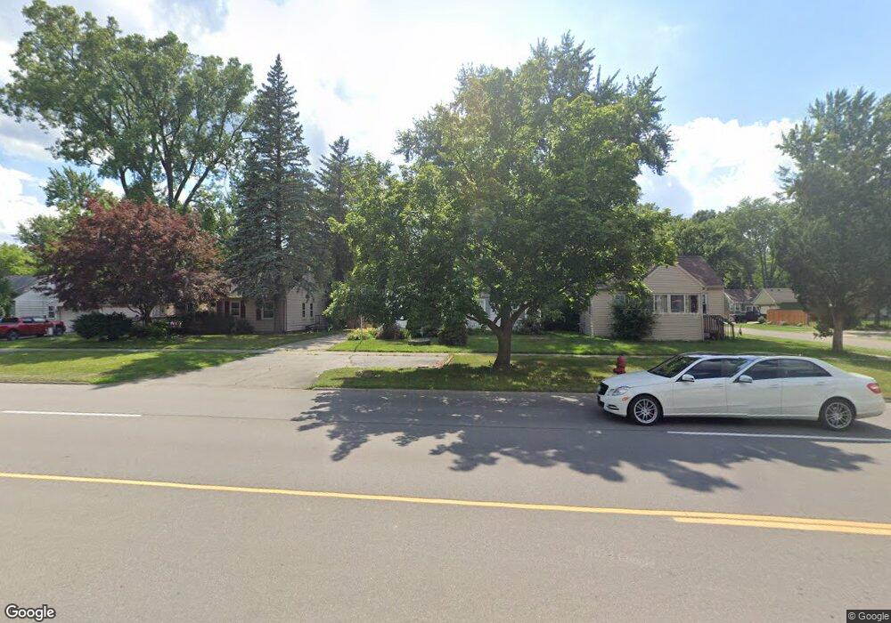
15093 Merriman Rd Unit Bldg-Unit Livonia, MI 48154
Estimated Value: $243,000 - $255,000
3
Beds
1
Bath
1,136
Sq Ft
$219/Sq Ft
Est. Value
About This Home
This home is located at 15093 Merriman Rd Unit Bldg-Unit, Livonia, MI 48154 and is currently estimated at $249,198, approximately $219 per square foot. 15093 Merriman Rd Unit Bldg-Unit is a home located in Wayne County with nearby schools including Kennedy Elementary School, Johnson Upper Elementary School, and Frost Middle School.
Ownership History
Date
Name
Owned For
Owner Type
Purchase Details
Closed on
May 30, 2018
Sold by
Ruffers Rentals Llc
Bought by
Modes Robert
Current Estimated Value
Purchase Details
Closed on
Dec 28, 2016
Sold by
Ruffer Nicholas and Ruffer Alison
Bought by
Ruffers Rentals Llc
Purchase Details
Closed on
Jan 25, 2016
Sold by
Pathe Michael
Bought by
Fannie Mae and Federal National Mortgage Association
Purchase Details
Closed on
Oct 9, 2000
Sold by
Radoye Investment Co Llc
Bought by
Pathe Gregory P
Purchase Details
Closed on
Aug 1, 1994
Sold by
Lane Charles L
Bought by
Radoye Investment Co
Create a Home Valuation Report for This Property
The Home Valuation Report is an in-depth analysis detailing your home's value as well as a comparison with similar homes in the area
Home Values in the Area
Average Home Value in this Area
Purchase History
| Date | Buyer | Sale Price | Title Company |
|---|---|---|---|
| Modes Robert | $145,000 | Embassy Title Agency Inc | |
| Ruffers Rentals Llc | -- | None Available | |
| Fannie Mae | -- | Attorney | |
| Pathe Gregory P | $114,900 | -- | |
| Radoye Investment Co | $78,000 | -- |
Source: Public Records
Tax History Compared to Growth
Tax History
| Year | Tax Paid | Tax Assessment Tax Assessment Total Assessment is a certain percentage of the fair market value that is determined by local assessors to be the total taxable value of land and additions on the property. | Land | Improvement |
|---|---|---|---|---|
| 2025 | $1,719 | $99,900 | $0 | $0 |
| 2024 | $1,719 | $93,000 | $0 | $0 |
| 2023 | $1,640 | $83,200 | $0 | $0 |
| 2022 | $2,880 | $77,300 | $0 | $0 |
| 2021 | $2,798 | $73,400 | $0 | $0 |
| 2019 | $2,684 | $66,100 | $0 | $0 |
| 2018 | $1,075 | $57,500 | $0 | $0 |
| 2017 | $2,785 | $47,800 | $0 | $0 |
| 2016 | $2,078 | $47,800 | $0 | $0 |
| 2015 | $3,962 | $43,730 | $0 | $0 |
| 2012 | -- | $38,360 | $8,400 | $29,960 |
Source: Public Records
Map
Nearby Homes
- 15345 Bainbridge St
- 31005 Roycroft St
- 15040 Berwick St
- 15600 Auburndale St
- 14677 Auburndale St
- 14563 Melrose St
- 31221 Lyndon St
- 31126 Grennada St
- 32136 Lyndon St
- 15075 Hubbard St Unit 5
- 14327 Arden St
- 30831 Lyndon St
- 14292 Hubbell St
- 14879 Fairfield St
- 32651 5 Mile Rd Unit 15
- 14164 Bainbridge St
- 29760 Hoy St
- 14154 Hubbell St
- 29831 Oakley St
- 31069 Munger Dr
- 15093 Merriman Rd
- 15097 Merriman Rd
- 15057 Merriman Rd
- 15040 Arden St
- 15068 Arden St
- 15026 Arden St
- 15003 Merriman Rd
- 15111 Merriman Rd
- 14998 Arden St
- 15098 Merriman Rd
- 14865 Merriman Rd
- 15151 Merriman Rd
- 15136 Arden St
- 14984 Arden St
- 15100 Merriman Rd
- 15160 Arden St
- 15094 Merriman Rd
- 15084 Merriman Rd
- 14956 Arden St
- 15069 Arden St