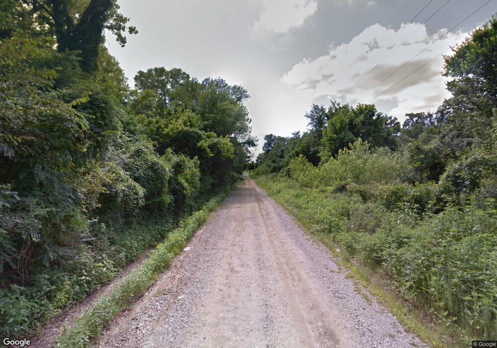
150AB Rr 1 Weleetka, OK 74880
Estimated Value: $160,000 - $199,404
3
Beds
2
Baths
1,392
Sq Ft
$122/Sq Ft
Est. Value
About This Home
This home is located at 150AB Rr 1, Weleetka, OK 74880 and is currently estimated at $170,351, approximately $122 per square foot. 150AB Rr 1 is a home located in Okfuskee County with nearby schools including Spence Memorial Elementary School, Weleetka Junior High School, and Weleetka High School.
Ownership History
Date
Name
Owned For
Owner Type
Purchase Details
Closed on
Dec 20, 2024
Sold by
Wilson Furgus
Bought by
Mammoth Trust
Current Estimated Value
Purchase Details
Closed on
Mar 5, 2022
Sold by
Key Trust and Yarborough Sophie
Bought by
Vise Family Llc and Dark Onyx Llc
Purchase Details
Closed on
Nov 12, 2020
Sold by
Alan Investments Iii Llc
Bought by
Dsv Spv1 Llc
Purchase Details
Closed on
Nov 8, 2016
Sold by
Wells Fargo Bank Na
Bought by
Alan Investments Iii Llc
Create a Home Valuation Report for This Property
The Home Valuation Report is an in-depth analysis detailing your home's value as well as a comparison with similar homes in the area
Home Values in the Area
Average Home Value in this Area
Purchase History
| Date | Buyer | Sale Price | Title Company |
|---|---|---|---|
| Mammoth Trust | -- | None Listed On Document | |
| Vise Family Llc | -- | None Listed On Document | |
| Dsv Spv1 Llc | -- | None Available | |
| Alan Investments Iii Llc | $20,005 | Premium Title Services Inc |
Source: Public Records
Tax History Compared to Growth
Tax History
| Year | Tax Paid | Tax Assessment Tax Assessment Total Assessment is a certain percentage of the fair market value that is determined by local assessors to be the total taxable value of land and additions on the property. | Land | Improvement |
|---|---|---|---|---|
| 2025 | $1,357 | $12,931 | $914 | $12,017 |
| 2024 | $1,357 | $13,362 | $914 | $12,448 |
| 2023 | $538 | $5,544 | $514 | $5,030 |
| 2022 | $529 | $5,280 | $498 | $4,782 |
| 2021 | $885 | $8,736 | $914 | $7,822 |
| 2020 | $786 | $7,537 | $1,604 | $5,933 |
| 2019 | $804 | $7,570 | $1,604 | $5,966 |
| 2018 | $824 | $7,925 | $1,604 | $6,321 |
| 2017 | $854 | $8,100 | $1,596 | $6,504 |
| 2016 | $825 | $7,715 | $1,291 | $6,424 |
| 2015 | $710 | $7,347 | $1,150 | $6,197 |
| 2014 | $665 | $6,998 | $989 | $6,009 |
Source: Public Records
Map
Nearby Homes
- 000 Old Us Hwy 62
- 0 Old Us Hwy 62
- 385157 Old Highway 62
- 160±ac N 3820 Rd
- 108174 N 3818 Rd
- 381078 W 110 Rd
- 381078 W 1110 Rd
- 176 E Pharoah St
- 106082 N 3810 Rd
- 2 N 3800 Rd
- TBD E 1140 Rd
- E 1140 Rd
- 379022 Old Highway 62
- 611 S Seneca
- 384045 E1040 Rd
- 386001 E County Road 1140
- 111168 N 3790 Rd
- 111110 N 3790 Rd
- Cr
- 36106 E 1140 Rd
- 109047 N 3840 Rd
- 109101 N 3840 Rd
- 385703 Old Highway 62
- 383101 E Hwy 62 Hwy
- 0 3840 Rd Unit 2328619
- 0 3840 Rd Unit 2305741
- 0 3840 Rd Unit 1615807
- 0 3840 Rd Unit 2204773
- 0 N 214 21 Ac M L 3840 Rd Unit 995144
- 00 N 3840 Rd
- 0 Old Highway 62
- TBD N 3840 Rd
- 108075 N 3840 Rd
- 0 E 1100 Rd Unit 2140972
- 0 E 1100 Rd Unit 987159
- 0 Ns 3830 Rd Unit 981917
- 0 Folsom Rd Unit 1922508
- 0 Folsom Rd Unit 2034971
- 0 Folsom Rd Unit 929215
- 108055 N 3840 Rd
