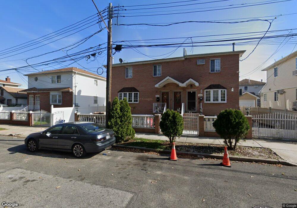
151-36 133rd Ave Unit 2nd Fl Jamaica, NY 11434
Rochdale NeighborhoodEstimated Value: $849,988 - $1,048,000
2
Beds
1
Bath
1,782
Sq Ft
$537/Sq Ft
Est. Value
About This Home
This home is located at 151-36 133rd Ave Unit 2nd Fl, Jamaica, NY 11434 and is currently estimated at $956,997, approximately $537 per square foot. 151-36 133rd Ave Unit 2nd Fl is a home located in Queens County with nearby schools including P.S. 45 Clarence Witherspoon, J.H.S. 226 Virgil I. Grisson, and Rochdale Early Advantage Charter School.
Ownership History
Date
Name
Owned For
Owner Type
Purchase Details
Closed on
Jun 30, 2008
Sold by
Alonim Equities Inc
Bought by
Moreira Adela and Moreira Edison
Current Estimated Value
Home Financials for this Owner
Home Financials are based on the most recent Mortgage that was taken out on this home.
Original Mortgage
$599,215
Outstanding Balance
$384,413
Interest Rate
6.13%
Mortgage Type
Purchase Money Mortgage
Estimated Equity
$572,584
Create a Home Valuation Report for This Property
The Home Valuation Report is an in-depth analysis detailing your home's value as well as a comparison with similar homes in the area
Home Values in the Area
Average Home Value in this Area
Purchase History
| Date | Buyer | Sale Price | Title Company |
|---|---|---|---|
| Moreira Adela | $622,000 | -- | |
| Moreira Adela | $622,000 | -- |
Source: Public Records
Mortgage History
| Date | Status | Borrower | Loan Amount |
|---|---|---|---|
| Open | Moreira Adela | $599,215 | |
| Closed | Moreira Adela | $599,215 |
Source: Public Records
Tax History Compared to Growth
Tax History
| Year | Tax Paid | Tax Assessment Tax Assessment Total Assessment is a certain percentage of the fair market value that is determined by local assessors to be the total taxable value of land and additions on the property. | Land | Improvement |
|---|---|---|---|---|
| 2025 | $6,785 | $35,807 | $9,879 | $25,928 |
| 2024 | $6,785 | $33,780 | $10,929 | $22,851 |
| 2023 | $6,401 | $31,870 | $10,298 | $21,572 |
| 2022 | $6,002 | $49,380 | $15,180 | $34,200 |
| 2021 | $6,328 | $44,520 | $15,180 | $29,340 |
| 2020 | $6,316 | $47,220 | $15,180 | $32,040 |
| 2019 | $5,889 | $44,040 | $15,180 | $28,860 |
| 2018 | $5,414 | $26,558 | $10,908 | $15,650 |
| 2017 | $5,108 | $25,056 | $10,781 | $14,275 |
| 2016 | $5,009 | $25,056 | $10,781 | $14,275 |
| 2015 | $2,631 | $24,866 | $14,003 | $10,863 |
| 2014 | $2,631 | $23,459 | $15,770 | $7,689 |
Source: Public Records
Map
Nearby Homes
- 15124 134th Ave
- 13426 154th St
- 132-55 154th St
- 134-30 155th St
- 154-20 132nd Ave
- 155-20 132nd Ave
- 155-15 134th Ave
- 155-17 134th Ave
- 132-03 155th St
- 129-44 155th St
- 128-22 149th St
- 154-05 129th Ave
- 13437 157th St
- 130-11 147th St
- 147-03 130th Ave
- 126-27 147th St
- 14717 N Conduit Ave
- 14428 158th St
- 13323 146th St
- 166-05 144th Ave
- 15136 133rd Ave
- 151-34 133rd Ave
- 15134 133rd Ave
- 151-38 133rd Ave
- 15138 133rd Ave
- 15130 133rd Ave
- 151-30 133rd Ave
- 15144 133rd Ave
- 15157 134th Ave
- 15153 134th Ave
- 151-53 134th Ave
- 15128 133rd Ave
- 15161 134th Ave
- 15149 134th Ave
- 15148 133rd Ave
- 15148 133rd Ave
- 15163 134th Ave
- 15145 134th Ave
- 151-45 134th Ave Unit 2
- 15122 133rd Ave