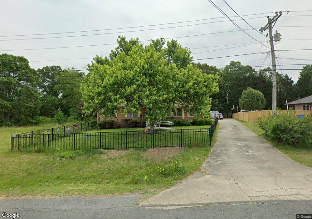
151 Anderson Rd Albemarle, NC 28001
Estimated Value: $288,000 - $304,000
3
Beds
2
Baths
1,560
Sq Ft
$189/Sq Ft
Est. Value
About This Home
This home is located at 151 Anderson Rd, Albemarle, NC 28001 and is currently estimated at $295,346, approximately $189 per square foot. 151 Anderson Rd is a home located in Stanly County with nearby schools including East Albemarle Elementary School, Albemarle Middle School, and Albemarle High School.
Ownership History
Date
Name
Owned For
Owner Type
Purchase Details
Closed on
Oct 6, 2020
Sold by
Coley Marie S
Bought by
Hayes Richard F and Hayes Ruth A
Current Estimated Value
Home Financials for this Owner
Home Financials are based on the most recent Mortgage that was taken out on this home.
Original Mortgage
$180,000
Outstanding Balance
$160,100
Interest Rate
2.9%
Mortgage Type
New Conventional
Estimated Equity
$135,246
Create a Home Valuation Report for This Property
The Home Valuation Report is an in-depth analysis detailing your home's value as well as a comparison with similar homes in the area
Purchase History
| Date | Buyer | Sale Price | Title Company |
|---|---|---|---|
| Hayes Richard F | $180,000 | None Available |
Source: Public Records
Mortgage History
| Date | Status | Borrower | Loan Amount |
|---|---|---|---|
| Open | Hayes Richard F | $180,000 |
Source: Public Records
Tax History
| Year | Tax Paid | Tax Assessment Tax Assessment Total Assessment is a certain percentage of the fair market value that is determined by local assessors to be the total taxable value of land and additions on the property. | Land | Improvement |
|---|---|---|---|---|
| 2025 | $2,670 | $238,392 | $50,950 | $187,442 |
| 2024 | $2,184 | $179,036 | $26,125 | $152,911 |
| 2023 | $2,184 | $179,036 | $26,125 | $152,911 |
| 2022 | $2,184 | $179,036 | $26,125 | $152,911 |
| 2021 | $2,184 | $179,036 | $26,125 | $152,911 |
| 2020 | $688 | $105,564 | $23,050 | $82,514 |
| 2019 | $695 | $105,564 | $23,050 | $82,514 |
| 2018 | $1,235 | $105,564 | $23,050 | $82,514 |
| 2017 | $1,330 | $105,564 | $23,050 | $82,514 |
| 2016 | $1,300 | $103,209 | $20,550 | $82,659 |
| 2015 | $660 | $103,209 | $20,550 | $82,659 |
| 2014 | $668 | $103,209 | $20,550 | $82,659 |
Source: Public Records
Map
Nearby Homes
- 2010 Sprucewood St
- 200 Lakeview Rd
- 2012 E Main St
- 723 Yorkshire Dr
- 2033 Sprucewood St
- 2123 Woodhurst Ln
- 2146 Marwood Ln
- 717 Lexington Dr
- 2309 Bulwarks Ct Unit 4
- 213 Crowell Ave
- 2312 Bulwarks Ct Unit 10
- 146 Pembroke Way Unit 28p
- 144 Pembroke Way Unit 27p
- 140 Pembroke Way Unit 25p
- 142 Pembroke Way Unit 26p
- 134 Pembroke Way Unit 22
- 705 Wilshire Dr
- 2329 E Main St
- 1910 Midwood Dr
- 1903 Midwood Dr
- 153 Anderson Rd
- 2007 Woodhurst Ln
- 0 Woodcroft Ln
- 2011 Woodhurst Ln
- 2015 Woodhurst Ln
- 2015 Woodhurst Ln Unit 6
- 2008 Woodhurst Ln
- 11 Woodhurst Ln
- 2019 Woodhurst Ln
- 2016 Woodhurst Ln
- 2023 Woodhurst Ln
- 207 Anderson Rd
- 2025 Woodhurst Ln
- 2025 Woodhurst Ln Unit 9
- 2017 Sprucewood St
- 210 Anderson Rd
- 2022 Woodhurst Ln
- 2019 Sprucewood St
- 2027 Woodhurst Ln
- 2032 Woodhurst Ln
Your Personal Tour Guide
Ask me questions while you tour the home.