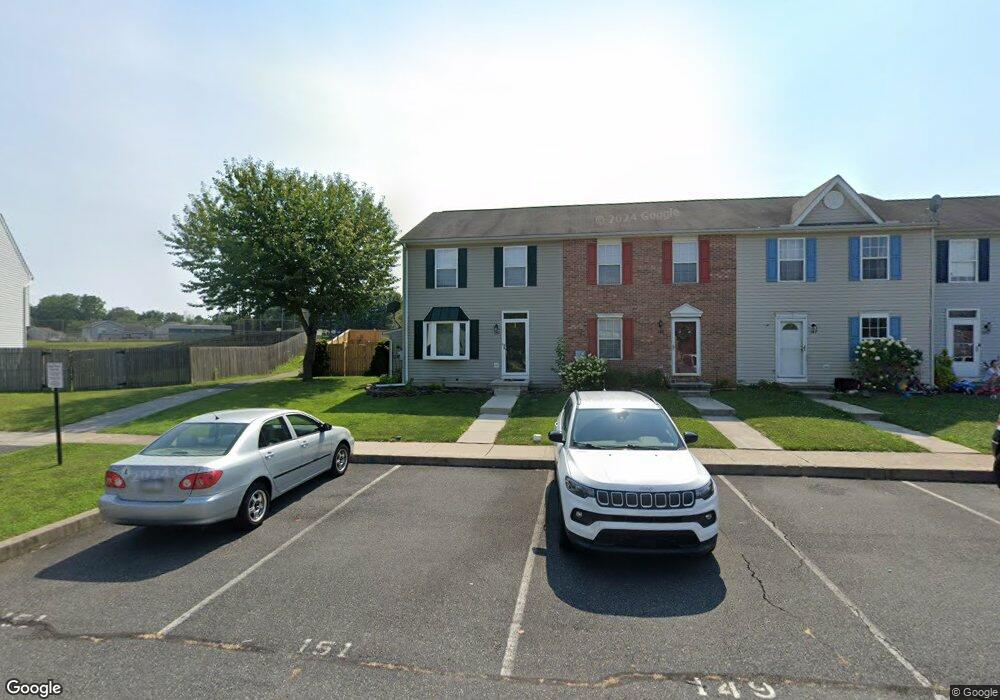
151 Apple Grove Ln Unit 430 Littlestown, PA 17340
Estimated Value: $228,000 - $244,000
3
Beds
2
Baths
1,275
Sq Ft
$186/Sq Ft
Est. Value
About This Home
This home is located at 151 Apple Grove Ln Unit 430, Littlestown, PA 17340 and is currently estimated at $236,795, approximately $185 per square foot. 151 Apple Grove Ln Unit 430 is a home located in Adams County with nearby schools including Rolling Acres El School, Maple Avenue Middle School, and Littlestown Senior High School.
Ownership History
Date
Name
Owned For
Owner Type
Purchase Details
Closed on
May 28, 2008
Sold by
Dunford Walter F and Dunford Marion R
Bought by
Karbonski Megan E
Current Estimated Value
Home Financials for this Owner
Home Financials are based on the most recent Mortgage that was taken out on this home.
Original Mortgage
$170,651
Outstanding Balance
$109,953
Interest Rate
6.13%
Mortgage Type
FHA
Estimated Equity
$126,842
Create a Home Valuation Report for This Property
The Home Valuation Report is an in-depth analysis detailing your home's value as well as a comparison with similar homes in the area
Home Values in the Area
Average Home Value in this Area
Purchase History
| Date | Buyer | Sale Price | Title Company |
|---|---|---|---|
| Karbonski Megan E | $172,000 | -- |
Source: Public Records
Mortgage History
| Date | Status | Borrower | Loan Amount |
|---|---|---|---|
| Open | Karbonski Megan E | $170,651 |
Source: Public Records
Tax History Compared to Growth
Tax History
| Year | Tax Paid | Tax Assessment Tax Assessment Total Assessment is a certain percentage of the fair market value that is determined by local assessors to be the total taxable value of land and additions on the property. | Land | Improvement |
|---|---|---|---|---|
| 2025 | $3,384 | $147,200 | $29,000 | $118,200 |
| 2024 | $3,261 | $147,200 | $29,000 | $118,200 |
| 2023 | $3,135 | $147,200 | $29,000 | $118,200 |
| 2022 | $3,115 | $147,200 | $29,000 | $118,200 |
| 2021 | $3,023 | $147,200 | $29,000 | $118,200 |
| 2020 | $2,987 | $147,200 | $29,000 | $118,200 |
| 2019 | $2,898 | $147,200 | $29,000 | $118,200 |
| 2018 | $2,845 | $147,200 | $29,000 | $118,200 |
| 2017 | $2,772 | $147,200 | $29,000 | $118,200 |
| 2016 | -- | $147,200 | $29,000 | $118,200 |
| 2015 | -- | $147,200 | $29,000 | $118,200 |
| 2014 | -- | $147,200 | $29,000 | $118,200 |
Source: Public Records
Map
Nearby Homes
- 140 Apple Grove Ln Unit 425
- 135 Apple Grove Ln Unit 438
- 58 N Gala Unit 397
- 440 N Queen St
- 52 Stayman Way Unit 81
- 22 Rita Marie Ave
- 129 W King St
- 161 Stoners Cir
- 162 Newark St
- 115 Charles St
- 117 Charles St
- 58 Windsor Ct
- 48 Windsor Ct
- 20c Locust Dr
- 0 Locust Dr Unit PAAD2015910
- 61 E King St
- 20 Locust Dr
- 211 E King St
- 41 Smith Cir
- 449 Glenwyn Dr
- 149 Apple Grove Ln Unit 431
- 153 Apple Grove Ln Unit 429
- 147 Apple Grove Ln Unit 432
- 145 Apple Grove Ln Unit 433
- 155 Apple Grove Ln Unit 428
- 157 Apple Grove Ln Unit 427
- 141 Apple Grove Ln Unit 435
- 159 Apple Grove Ln Unit 426
- 46 Appler Ct Unit 50
- 42 Appler Ct Unit 51
- 139 Apple Grove Ln Unit 436
- 137 Apple Grove Ln
- 137 Apple Grove Ln Unit 437
- 38 Appler Ct Unit 52
- 133 Apple Grove Ln Unit 439
- 99 S Gala Unit 444
- 138 Apple Grove Ln Unit 424
- 101 S Gala Unit 443
- 41 Appler Ct Unit 48
- 97 S Gala Unit 445