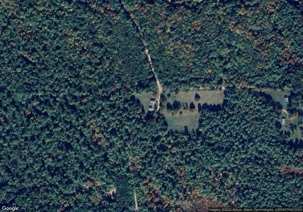
151 Benson Rd Parsonsfield, ME 04047
Estimated Value: $344,000 - $439,000
--
Bed
--
Bath
1,356
Sq Ft
$274/Sq Ft
Est. Value
About This Home
This home is located at 151 Benson Rd, Parsonsfield, ME 04047 and is currently estimated at $371,943, approximately $274 per square foot. 151 Benson Rd is a home.
Create a Home Valuation Report for This Property
The Home Valuation Report is an in-depth analysis detailing your home's value as well as a comparison with similar homes in the area
Home Values in the Area
Average Home Value in this Area
Tax History Compared to Growth
Tax History
| Year | Tax Paid | Tax Assessment Tax Assessment Total Assessment is a certain percentage of the fair market value that is determined by local assessors to be the total taxable value of land and additions on the property. | Land | Improvement |
|---|---|---|---|---|
| 2024 | $3,704 | $220,459 | $78,955 | $141,504 |
| 2023 | $3,571 | $220,459 | $78,955 | $141,504 |
| 2022 | $3,417 | $220,459 | $78,955 | $141,504 |
| 2021 | $3,406 | $220,459 | $78,955 | $141,504 |
| 2020 | $3,340 | $220,459 | $78,955 | $141,504 |
| 2019 | $3,285 | $220,459 | $78,955 | $141,504 |
| 2017 | $3,285 | $220,459 | $78,955 | $141,504 |
| 2016 | $3,285 | $220,459 | $78,955 | $141,504 |
| 2015 | $3,383 | $225,524 | $84,020 | $141,504 |
| 2013 | $3,293 | $225,524 | $84,020 | $141,504 |
Source: Public Records
Map
Nearby Homes
- 511 South Rd
- 570 Maplewood Rd
- 760 Mountain Rd
- 41 Hobbs Rd
- 154 Staples Rd
- Lot 1 Moulton Hill Rd
- 11 Symmes Dr
- 48 Elm St
- 424 Maplecrest Rd
- 174 Wakefield Rd
- 27 Lynn Dr
- 209 Lost Mile Rd
- 360 Bridge St
- 27 Nocturne Rd
- 9 Penny Ln
- 0 Stone Hill Rd
- 178 Maplecrest Rd
- Lot 5 Fenderson Rd
- 00 Libby Rd Unit Lot 9
- Lot#33 Shore Acres Rd