151 Brewster Dr Galloway, NJ 08205
Estimated Value: $184,000 - $372,593
--
Bed
--
Bath
1,564
Sq Ft
$204/Sq Ft
Est. Value
About This Home
This home is located at 151 Brewster Dr, Galloway, NJ 08205 and is currently estimated at $318,398, approximately $203 per square foot. 151 Brewster Dr is a home located in Atlantic County with nearby schools including Absegami High School, Cedar Creek High School, and Oakcrest High School.
Ownership History
Date
Name
Owned For
Owner Type
Purchase Details
Closed on
Feb 27, 2025
Sold by
Simonian Marilyn and Rose Marilyn
Bought by
Bradley William and Bradley Linda
Current Estimated Value
Purchase Details
Closed on
Aug 2, 2021
Sold by
Simonian Diran and Simonian Valerie
Bought by
Rose Marilyn and Simonian Marilyn
Purchase Details
Closed on
Nov 28, 2016
Sold by
Shevlin Rosemarie V and Russo Ann M
Bought by
Simonian Diran and Simonian Valerie
Home Financials for this Owner
Home Financials are based on the most recent Mortgage that was taken out on this home.
Interest Rate
4.03%
Create a Home Valuation Report for This Property
The Home Valuation Report is an in-depth analysis detailing your home's value as well as a comparison with similar homes in the area
Home Values in the Area
Average Home Value in this Area
Purchase History
| Date | Buyer | Sale Price | Title Company |
|---|---|---|---|
| Bradley William | $346,000 | Trident Land Transfer | |
| Rose Marilyn | -- | None Available | |
| Simonian Diran | -- | -- |
Source: Public Records
Mortgage History
| Date | Status | Borrower | Loan Amount |
|---|---|---|---|
| Previous Owner | Simonian Diran | -- |
Source: Public Records
Tax History Compared to Growth
Tax History
| Year | Tax Paid | Tax Assessment Tax Assessment Total Assessment is a certain percentage of the fair market value that is determined by local assessors to be the total taxable value of land and additions on the property. | Land | Improvement |
|---|---|---|---|---|
| 2025 | $5,718 | $171,300 | $44,500 | $126,800 |
| 2024 | $5,718 | $171,300 | $44,500 | $126,800 |
| 2023 | $5,500 | $171,300 | $44,500 | $126,800 |
| 2022 | $5,500 | $171,300 | $44,500 | $126,800 |
| 2021 | $5,391 | $171,300 | $44,500 | $126,800 |
| 2020 | $5,305 | $171,300 | $44,500 | $126,800 |
| 2019 | $5,208 | $171,300 | $44,500 | $126,800 |
| 2018 | $5,281 | $171,300 | $44,500 | $126,800 |
| 2017 | $5,281 | $171,300 | $44,500 | $126,800 |
| 2016 | $5,235 | $171,300 | $44,500 | $126,800 |
| 2015 | $5,211 | $171,300 | $44,500 | $126,800 |
| 2014 | $5,038 | $171,300 | $44,500 | $126,800 |
Source: Public Records
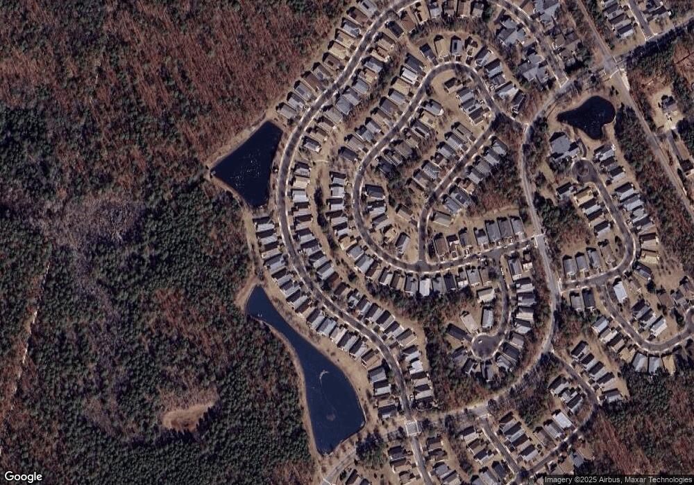
Map
Nearby Homes
- 108 Hyannis Ct
- 121 Dover Ct Unit A1
- 517 Weston Dr
- 119 Dover Ct Unit A1
- 115 Devon Ct
- 569 Chatham Way
- 559 E Revere Way
- 55 S New York Rd
- 644 E Chancery Ln Unit 14A
- 143 Sylvan Ave
- 60 Trotters Ln Unit 909
- 81 Trotters Ln
- 44 Trotters Ln Unit 1007
- 83 Trotters Ln Unit 506
- 84 Trotters Ln Unit 809
- 37 Driftwood Ct Unit 37
- 411 Spencer Ln
- 22 Driftwood Ct
- 55 Driftwood Ct
- 104 Meadow Ridge Rd
- 149 Brewster Dr
- 153 Brewster Dr
- 175 Brewster Dr
- 173 Brewster Dr
- 129 Southampton Dr
- 131 Southampton Dr
- 127 Southampton Dr
- 154 Brewster Dr
- 157 Brewster Dr
- 156 Brewster Dr
- 152 Brewster Dr
- 133 Southampton Dr
- 123 Southampton Dr
- 143 Brewster Dr
- 159 Brewster Dr
- 135 Southampton Dr
- 150 Brewster Dr
- 158 Brewster Dr