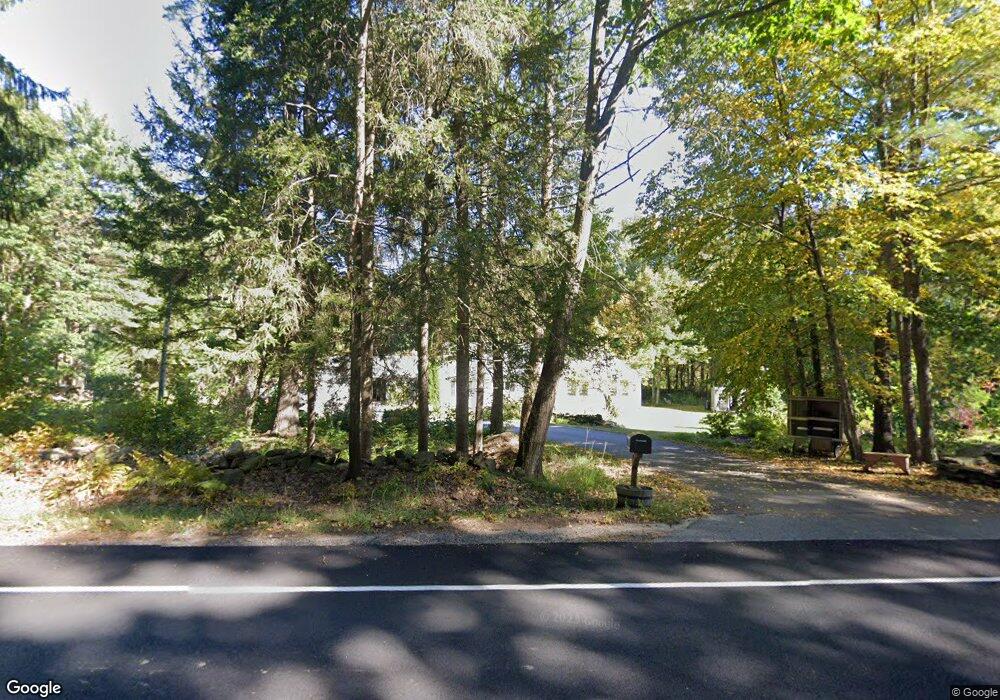
151 Brooks Station Rd Princeton, MA 01541
Estimated Value: $592,000 - $651,000
3
Beds
1
Bath
1,701
Sq Ft
$362/Sq Ft
Est. Value
About This Home
This home is located at 151 Brooks Station Rd, Princeton, MA 01541 and is currently estimated at $615,012, approximately $361 per square foot. 151 Brooks Station Rd is a home located in Worcester County with nearby schools including Wachusett Regional High School.
Ownership History
Date
Name
Owned For
Owner Type
Purchase Details
Closed on
Jul 17, 2012
Sold by
Rainville Paul
Bought by
Rainville Paul D and Rainville Christine M
Current Estimated Value
Purchase Details
Closed on
May 20, 2002
Sold by
Lsb Nt and Macgregor Gerald B
Bought by
Rainville Paul
Purchase Details
Closed on
Apr 11, 2002
Sold by
Pignataro Henry C
Bought by
Lsb Nt and Macgregor Gerald B
Purchase Details
Closed on
Dec 13, 1996
Sold by
Murray Wesley and Murray Diane C
Bought by
Pignataro Henry C and Pignataro Robin
Create a Home Valuation Report for This Property
The Home Valuation Report is an in-depth analysis detailing your home's value as well as a comparison with similar homes in the area
Home Values in the Area
Average Home Value in this Area
Purchase History
| Date | Buyer | Sale Price | Title Company |
|---|---|---|---|
| Rainville Paul D | -- | -- | |
| Rainville Paul | $200,000 | -- | |
| Lsb Nt | $135,000 | -- | |
| Pignataro Henry C | $146,000 | -- |
Source: Public Records
Mortgage History
| Date | Status | Borrower | Loan Amount |
|---|---|---|---|
| Previous Owner | Pignataro Henry C | $106,745 | |
| Previous Owner | Pignataro Henry C | $130,000 |
Source: Public Records
Tax History
| Year | Tax Paid | Tax Assessment Tax Assessment Total Assessment is a certain percentage of the fair market value that is determined by local assessors to be the total taxable value of land and additions on the property. | Land | Improvement |
|---|---|---|---|---|
| 2025 | $7,720 | $531,300 | $154,800 | $376,500 |
| 2024 | $7,123 | $507,700 | $152,200 | $355,500 |
| 2023 | $6,805 | $449,500 | $121,400 | $328,100 |
| 2022 | $6,502 | $414,700 | $121,400 | $293,300 |
| 2021 | $5,241 | $394,600 | $121,400 | $273,200 |
| 2020 | $4,389 | $388,700 | $121,400 | $267,300 |
| 2019 | $6,134 | $382,900 | $118,500 | $264,400 |
| 2018 | $3,682 | $323,900 | $99,800 | $224,100 |
| 2017 | $4,961 | $279,000 | $144,200 | $134,800 |
| 2016 | $4,966 | $279,000 | $144,200 | $134,800 |
| 2015 | $4,773 | $275,900 | $146,600 | $129,300 |
Source: Public Records
Map
Nearby Homes
- 9 Stagecoach Rd
- 13 Goodnow Rd
- 20 Mountain Rd
- 56 Hubbardston Rd
- 147 E County Rd Unit 149
- 139 E County Rd Unit 139
- 569 E County Rd
- 134 Mountain Rd
- 376 Elmwood Ave
- 45 Old Colony Rd
- 14 Grizzly Dr
- 35 Brintnal Dr
- 0 North St
- 2226 Main St
- 386 Redemption Rock Trail
- 16 Richards Ave
- 129 Quinapoxet St
- 19 Fernwood Dr
- 20 Fernwood Dr
- 39 Laurelwood Rd
- 29 Matthews Ln
- 22 Old Brook Station Rd
- 24 Old Brook Station Rd
- Lot A Brook Station Rd
- Lot A Brooks Station Rd
- Lot B Brook Station Rd
- 155 Brooks Station Rd
- 150 Brooks Station Rd
- 154 Brooks Station Rd
- 162 Brooks Station Rd
- 142 Brooks Station Rd
- 165 Brooks Station Rd
- Lot 0 Brook Station Rd
- 169 Brooks Station Rd
- 20 Sam Cobb Ln
- 21 Matthews Ln
- 12 Sam Cobb Ln
- 140 Brooks Station Rd
- 14 Sam Cobb Ln
- 19 Matthews Ln
Your Personal Tour Guide
Ask me questions while you tour the home.