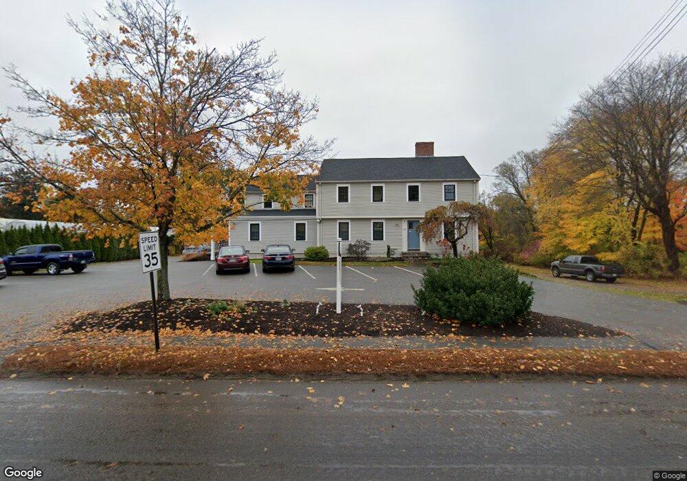
151 Central St Rowley, MA 01969
Estimated Value: $1,129,111
3
Beds
2
Baths
3,324
Sq Ft
$340/Sq Ft
Est. Value
About This Home
This home is located at 151 Central St, Rowley, MA 01969 and is currently estimated at $1,129,111, approximately $339 per square foot. 151 Central St is a home located in Essex County with nearby schools including Triton Regional High School and Solstice School.
Ownership History
Date
Name
Owned For
Owner Type
Purchase Details
Closed on
Sep 16, 1997
Sold by
Hawkins Stuart D and Lebel Alphonse J
Bought by
Stclair J Peter and Stclair Debra J
Current Estimated Value
Home Financials for this Owner
Home Financials are based on the most recent Mortgage that was taken out on this home.
Original Mortgage
$204,000
Outstanding Balance
$31,170
Interest Rate
7.31%
Mortgage Type
Commercial
Estimated Equity
$1,097,941
Create a Home Valuation Report for This Property
The Home Valuation Report is an in-depth analysis detailing your home's value as well as a comparison with similar homes in the area
Home Values in the Area
Average Home Value in this Area
Purchase History
| Date | Buyer | Sale Price | Title Company |
|---|---|---|---|
| Stclair J Peter | $255,000 | -- |
Source: Public Records
Mortgage History
| Date | Status | Borrower | Loan Amount |
|---|---|---|---|
| Open | Stclair J Peter | $100,000 | |
| Open | Stclair J Peter | $204,000 | |
| Previous Owner | Stclair J Peter | $40,000 |
Source: Public Records
Tax History
| Year | Tax Paid | Tax Assessment Tax Assessment Total Assessment is a certain percentage of the fair market value that is determined by local assessors to be the total taxable value of land and additions on the property. | Land | Improvement |
|---|---|---|---|---|
| 2025 | $7,024 | $596,800 | $280,000 | $316,800 |
| 2024 | $6,999 | $578,400 | $266,800 | $311,600 |
| 2023 | $6,911 | $530,800 | $232,000 | $298,800 |
| 2022 | $7,193 | $492,000 | $193,200 | $298,800 |
| 2021 | $7,153 | $459,100 | $168,000 | $291,100 |
| 2020 | $7,028 | $451,100 | $160,000 | $291,100 |
| 2019 | $5,555 | $378,400 | $160,000 | $218,400 |
| 2018 | $5,368 | $368,200 | $160,000 | $208,200 |
| 2017 | $5,206 | $368,200 | $160,000 | $208,200 |
| 2016 | $4,452 | $310,000 | $139,200 | $170,800 |
| 2015 | $4,414 | $310,000 | $139,200 | $170,800 |
Source: Public Records
Map
Nearby Homes
- 285 Central St
- 34 Central St Unit 2
- 34 Central St Unit 1
- 117 Kittery Ave
- 601 Newburyport Turnpike
- 304 & 480 Wethersfield St & Nbpt Tnpk
- 1 Osprey Ct
- Lot 6 Osprey Ct
- 460 - 472 Newburyport Turnpike
- 480 Newburyport Turnpike
- 304-312 Wethersfield St
- 308 & 312 Wethersfield St
- 36 Caldwell Farm Rd
- 10 Choate Ln
- 75 Country Club Way
- 196 Country Club Way
- 10 Old Rowley Rd
- 76-78 Daniels Rd
- 4 Sheppards Way
- 45 Pineswamp Rd
- 116 Bennett Hill Rd
- 134 Central St
- 163 Central St
- 128 Central St
- 112 Bennett Hill Rd
- 2 Cross St
- 120 Central St
- 108 Bennett Hill Rd
- 12 Cross St
- 115 Bennett Hill Rd
- 176 Central St
- 7 Cross St
- 116 Central St
- 115 Central St
- 104 Bennett Hill Rd
- 111 Bennett Hill Rd
- 2 Arbor Way
- 112 Central St
- 113 Central St
- 100 Bennett Hill Rd
Your Personal Tour Guide
Ask me questions while you tour the home.