151 Clyde Dr Walhalla, SC 29691
Estimated Value: $329,000 - $362,000
3
Beds
2
Baths
1,800
Sq Ft
$189/Sq Ft
Est. Value
About This Home
This home is located at 151 Clyde Dr, Walhalla, SC 29691 and is currently estimated at $339,848, approximately $188 per square foot. 151 Clyde Dr is a home located in Oconee County with nearby schools including Walhalla Elementary School, Walhalla Middle School, and Walhalla High School.
Ownership History
Date
Name
Owned For
Owner Type
Purchase Details
Closed on
Dec 17, 2007
Sold by
Stephens Tracy L and Marcus Dennis
Bought by
Littleton Bryan K and Littleton Christina H
Current Estimated Value
Home Financials for this Owner
Home Financials are based on the most recent Mortgage that was taken out on this home.
Original Mortgage
$167,275
Outstanding Balance
$104,421
Interest Rate
6.21%
Mortgage Type
FHA
Estimated Equity
$235,427
Purchase Details
Closed on
May 16, 2007
Sold by
Stephens Tracy L
Bought by
Stephens Tracy L and Marcus Dennis
Create a Home Valuation Report for This Property
The Home Valuation Report is an in-depth analysis detailing your home's value as well as a comparison with similar homes in the area
Home Values in the Area
Average Home Value in this Area
Purchase History
| Date | Buyer | Sale Price | Title Company |
|---|---|---|---|
| Littleton Bryan K | $169,900 | Attorney | |
| Stephens Tracy L | -- | None Available |
Source: Public Records
Mortgage History
| Date | Status | Borrower | Loan Amount |
|---|---|---|---|
| Open | Littleton Bryan K | $167,275 |
Source: Public Records
Tax History
| Year | Tax Paid | Tax Assessment Tax Assessment Total Assessment is a certain percentage of the fair market value that is determined by local assessors to be the total taxable value of land and additions on the property. | Land | Improvement |
|---|---|---|---|---|
| 2025 | $850 | $8,099 | $525 | $7,574 |
| 2024 | $850 | $8,099 | $525 | $7,574 |
| 2023 | $861 | $8,099 | $525 | $7,574 |
| 2022 | $861 | $8,099 | $525 | $7,574 |
| 2021 | $835 | $7,619 | $415 | $7,204 |
| 2020 | $848 | $7,619 | $415 | $7,204 |
| 2019 | $848 | $0 | $0 | $0 |
| 2018 | $1,691 | $0 | $0 | $0 |
| 2017 | $835 | $0 | $0 | $0 |
| 2016 | $835 | $0 | $0 | $0 |
| 2015 | -- | $0 | $0 | $0 |
| 2014 | -- | $7,956 | $628 | $7,328 |
| 2013 | -- | $0 | $0 | $0 |
Source: Public Records
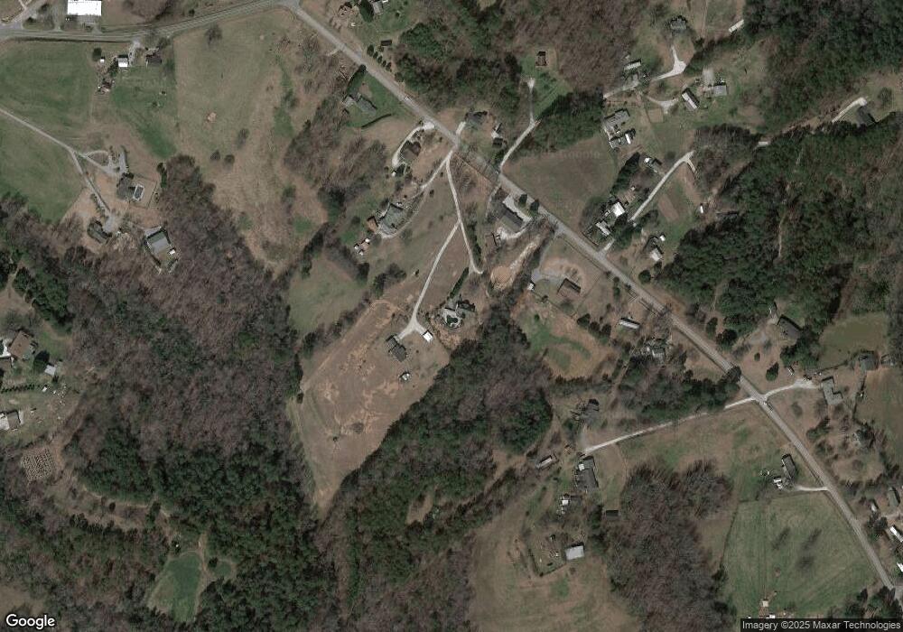
Map
Nearby Homes
- 505 Hillside Dr
- 00 Heaven View Dr
- 00 Oconee Creek Rd
- 508 Sixteenth Cir
- Tract B Bobolink Dr
- 101 Hazelwood Way
- 324 Fox Run Rd
- 221 Cub Cove Dr
- 00 Fox Run Rd
- 323 Fox Run Rd
- Lot 57 Fox Run Rd
- 857 Pickett Post Rd
- 606 N Poplar St
- 223 N Dogwood Dr
- 147 White Oak St
- 00 Abbott Ln
- 00 N Church St
- 533 Sixteenth Cir
- 408 Falcons Lair West Dr
- 525 Sixteenth Cir
- 170 Clyde Dr
- 471 Fairfield Rd
- 451 Fairfield Rd
- 110 Clyde Dr
- 110 Clyde Dr
- 191 Clyde Dr Unit Fairfield/PicketPost
- 601 Rooster Dr
- 198 Loudermilk Ln
- 551 Fairfield Rd
- 602 Rooster Dr
- 415 Fairfield Rd
- 506 Fairfield Rd
- 199 Loudermilk Ln
- 561 Fairfield Rd
- 712 Holcombe Dr
- 612 Rooster Dr
- 707 Holcombe Dr
- 558 Fairfield Rd
- 732 Holcombe Dr
- 564 Fairfield Rd
Your Personal Tour Guide
Ask me questions while you tour the home.