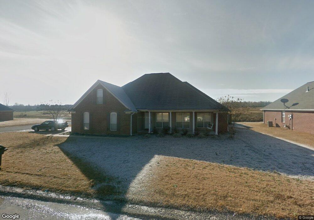
151 Colt Ln Guntown, MI 38849
Estimated Value: $226,000 - $295,694
3
Beds
2
Baths
1,772
Sq Ft
$147/Sq Ft
Est. Value
About This Home
This home is located at 151 Colt Ln, Guntown, MI 38849 and is currently estimated at $260,674, approximately $147 per square foot. 151 Colt Ln is a home located in Lee County with nearby schools including Saltillo Primary School, Saltillo Elementary School, and Guntown Middle School.
Ownership History
Date
Name
Owned For
Owner Type
Purchase Details
Closed on
Jun 7, 2023
Bought by
Tucker Patricia
Current Estimated Value
Purchase Details
Closed on
Sep 11, 2018
Sold by
Coombs Johnnie P
Bought by
Amador Enwique and Fierro Carolina
Purchase Details
Closed on
Oct 15, 2009
Sold by
Turner Michael and Turner Chasity
Bought by
Tharp Michael and Tharp Billie
Create a Home Valuation Report for This Property
The Home Valuation Report is an in-depth analysis detailing your home's value as well as a comparison with similar homes in the area
Home Values in the Area
Average Home Value in this Area
Purchase History
| Date | Buyer | Sale Price | Title Company |
|---|---|---|---|
| Tucker Patricia | $243,000 | -- | |
| Amador Enwique | -- | None Available | |
| Tharp Michael | -- | -- |
Source: Public Records
Tax History Compared to Growth
Tax History
| Year | Tax Paid | Tax Assessment Tax Assessment Total Assessment is a certain percentage of the fair market value that is determined by local assessors to be the total taxable value of land and additions on the property. | Land | Improvement |
|---|---|---|---|---|
| 2025 | $2,863 | $21,239 | $0 | $0 |
| 2024 | $2,796 | $20,746 | $0 | $0 |
| 2023 | $1,589 | $13,862 | $0 | $0 |
| 2022 | $1,540 | $13,862 | $0 | $0 |
| 2021 | $1,540 | $13,862 | $0 | $0 |
| 2020 | $1,836 | $13,862 | $0 | $0 |
| 2019 | $1,432 | $13,033 | $0 | $0 |
| 2018 | $2,613 | $19,550 | $0 | $0 |
| 2017 | $1,388 | $13,033 | $0 | $0 |
| 2016 | $1,335 | $13,033 | $0 | $0 |
| 2015 | $1,214 | $12,117 | $0 | $0 |
| 2014 | $1,214 | $12,117 | $0 | $0 |
Source: Public Records
Map
Nearby Homes
- 143 Eunice Dr
- 161 Benelli Dr
- 0 0 Cr 911 (Hwy 45)
- 210 Pam Ave
- 191 Greenhill Dr
- 172 Mike Ave
- 1056 County Road 833
- 125 Mike Ave
- 145 Lakeview Dr
- 0 Cr 2790 Lot 7
- 0 Cr 2790 Lot 10
- 0 Cr 2790 Lot 8
- 0 Cr 2790 Lot 6
- 0 Cr 2790 Lot 9
- 0 Cr 2790 Lot 5
- 154 Cathryn Dr
- 0 Cr 2790 Lot 4
- 117 Deerfield Rd
- 0 Cr 833 - Lot 2 Unit 25-2582
- 0