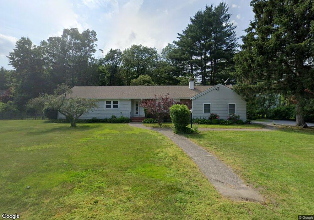
151 Conant Rd Westwood, MA 02090
Estimated Value: $1,184,344 - $1,431,000
5
Beds
3
Baths
2,188
Sq Ft
$581/Sq Ft
Est. Value
About This Home
This home is located at 151 Conant Rd, Westwood, MA 02090 and is currently estimated at $1,271,836, approximately $581 per square foot. 151 Conant Rd is a home located in Norfolk County with nearby schools including Westwood High School, Dedham Country Day School, and St. Sebastian's School.
Ownership History
Date
Name
Owned For
Owner Type
Purchase Details
Closed on
Jul 1, 1984
Bought by
Kazemi Ahmad and Kazemi Mahnaz
Current Estimated Value
Create a Home Valuation Report for This Property
The Home Valuation Report is an in-depth analysis detailing your home's value as well as a comparison with similar homes in the area
Home Values in the Area
Average Home Value in this Area
Purchase History
| Date | Buyer | Sale Price | Title Company |
|---|---|---|---|
| Kazemi Ahmad | $190,000 | -- |
Source: Public Records
Mortgage History
| Date | Status | Borrower | Loan Amount |
|---|---|---|---|
| Open | Kazemi Ahmad | $100,000 | |
| Closed | Kazemi Ahmad | $50,000 | |
| Closed | Kazemi Ahmad | $75,000 | |
| Closed | Kazemi Ahmad | $63,400 |
Source: Public Records
Tax History Compared to Growth
Tax History
| Year | Tax Paid | Tax Assessment Tax Assessment Total Assessment is a certain percentage of the fair market value that is determined by local assessors to be the total taxable value of land and additions on the property. | Land | Improvement |
|---|---|---|---|---|
| 2025 | $12,675 | $989,500 | $569,100 | $420,400 |
| 2024 | $12,675 | $989,500 | $569,100 | $420,400 |
| 2023 | $11,030 | $771,300 | $474,300 | $297,000 |
| 2022 | $10,847 | $731,400 | $419,450 | $311,950 |
| 2021 | $10,800 | $730,700 | $399,450 | $331,250 |
| 2020 | $10,383 | $715,550 | $399,450 | $316,100 |
| 2019 | $9,869 | $673,650 | $380,250 | $293,400 |
| 2018 | $9,655 | $639,850 | $380,250 | $259,600 |
| 2017 | $9,414 | $646,150 | $380,250 | $265,900 |
| 2016 | $9,208 | $628,100 | $380,250 | $247,850 |
| 2015 | $9,506 | $623,750 | $380,250 | $243,500 |
Source: Public Records
Map
Nearby Homes
- 18 Longmeadow Dr
- 20 Longmeadow Dr
- 26 Longmeadow Dr
- 670-672 High St Unit 3
- 314 Grove St
- 300 Summer St
- 298 Summer St
- 429 Summer St
- 4 Shoestring Ln
- 401 Sandy Valley Rd
- 15 Wilsondale St
- 60 Warwick Dr
- 162 Mayfair Dr
- 49 Fisher St
- 85 Schoolmaster Ln
- 250 Meadowbrook Rd
- 223 Robert Rd
- 262 Meadowbrook Rd
- 36 Kingswood Rd
- 20 Lakeshore Dr