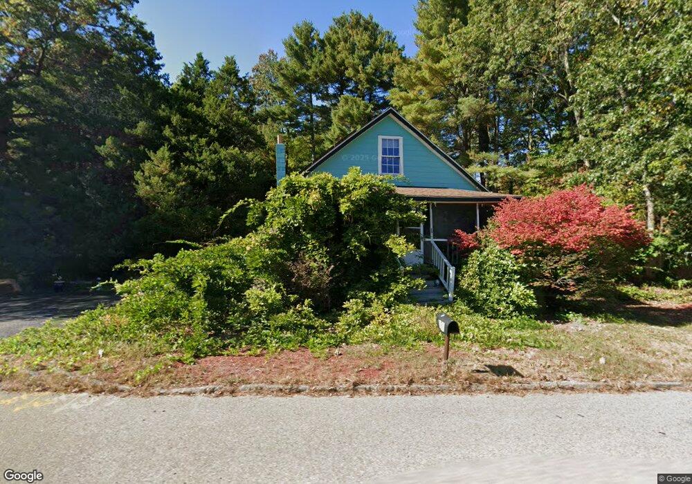
151 Dedham St Wrentham, MA 02093
Estimated Value: $435,000 - $517,000
2
Beds
1
Bath
876
Sq Ft
$530/Sq Ft
Est. Value
About This Home
This home is located at 151 Dedham St, Wrentham, MA 02093 and is currently estimated at $464,611, approximately $530 per square foot. 151 Dedham St is a home located in Norfolk County with nearby schools including Delaney Elementary School, Charles E Roderick, and Discovery Daycare Center.
Ownership History
Date
Name
Owned For
Owner Type
Purchase Details
Closed on
Jun 19, 2007
Sold by
Kinney Colleen
Bought by
Kuffrey Arlene and Moore Robert
Current Estimated Value
Home Financials for this Owner
Home Financials are based on the most recent Mortgage that was taken out on this home.
Original Mortgage
$240,000
Outstanding Balance
$146,144
Interest Rate
6.19%
Mortgage Type
Purchase Money Mortgage
Estimated Equity
$318,467
Create a Home Valuation Report for This Property
The Home Valuation Report is an in-depth analysis detailing your home's value as well as a comparison with similar homes in the area
Purchase History
| Date | Buyer | Sale Price | Title Company |
|---|---|---|---|
| Kuffrey Arlene | $240,000 | -- |
Source: Public Records
Mortgage History
| Date | Status | Borrower | Loan Amount |
|---|---|---|---|
| Open | Kuffrey Arlene | $240,000 |
Source: Public Records
Tax History
| Year | Tax Paid | Tax Assessment Tax Assessment Total Assessment is a certain percentage of the fair market value that is determined by local assessors to be the total taxable value of land and additions on the property. | Land | Improvement |
|---|---|---|---|---|
| 2025 | $4,418 | $381,200 | $237,900 | $143,300 |
| 2024 | $4,337 | $361,400 | $237,900 | $123,500 |
| 2023 | $4,378 | $346,900 | $216,300 | $130,600 |
| 2022 | $4,336 | $317,200 | $210,300 | $106,900 |
| 2021 | $4,246 | $301,800 | $196,600 | $105,200 |
| 2020 | $3,691 | $259,000 | $150,000 | $109,000 |
| 2019 | $3,608 | $255,500 | $150,000 | $105,500 |
| 2018 | $3,015 | $211,700 | $150,100 | $61,600 |
| 2017 | $2,901 | $203,600 | $147,200 | $56,400 |
| 2016 | $2,817 | $197,300 | $143,000 | $54,300 |
| 2015 | $2,804 | $187,200 | $137,500 | $49,700 |
| 2014 | $2,786 | $182,000 | $132,200 | $49,800 |
Source: Public Records
Map
Nearby Homes
- 10 Nature View Dr
- 15 Nature View Dr
- 15 Tilting Rock Rd
- 135 Creek St Unit 2
- 500 Franklin St
- 576 Dedham St
- 1 Weber Farm Rd Unit 1
- 4 Weber Farm Rd Unit 4
- 11 Weber Farm Rd Unit 11
- 6 Weber Farm Rd Unit 6
- 3 Earle Stewart Ln
- 8 Weber Farm Rd Unit 8
- 2 Earle Stewart Ln
- 12 Earle Stewart Ln
- 282 Thurston St
- 10 Earle Stewart Ln Unit Lot 5
- 30 Weber Farm Rd Unit 30
- 0 W Birch Rd
- 9 Sharon Ave
- 50 Reed Fulton Ave Unit Lot 61
- 140 Dedham St
- 150 Dedham St
- 130 Dedham St
- 50 Kevin Joes Way
- 60 Kevin Joes Way
- 40 Kevin Joes Way
- 160 Dedham St
- 158 Dedham St
- 158 Dedham St Unit 158
- 110 Dedham St
- 112 Dedham St
- 110 Dedham St Unit 2
- 108 Dedham St Unit 1
- 30 Kevin Joes Way
- 180 Dedham St
- 55 Kevin Joes Way
- 205 Dedham St
- 90 Dedham St
- 45 Kevin Joes Way
- 20 Kevin Joes Way
Your Personal Tour Guide
Ask me questions while you tour the home.