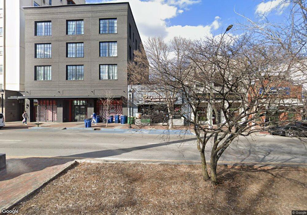
151 E Broad St Athens, GA 30601
Estimated Value: $1,508,361
Studio
--
Bath
2,744
Sq Ft
$550/Sq Ft
Est. Value
About This Home
This home is located at 151 E Broad St, Athens, GA 30601 and is currently estimated at $1,508,361, approximately $549 per square foot. 151 E Broad St is a home located in Clarke County with nearby schools including Barrow Elementary School, Clarke Middle School, and Clarke Central High School.
Ownership History
Date
Name
Owned For
Owner Type
Purchase Details
Closed on
Jan 31, 2020
Sold by
Pease Robert B
Bought by
Broad Street Iii Llc
Current Estimated Value
Home Financials for this Owner
Home Financials are based on the most recent Mortgage that was taken out on this home.
Original Mortgage
$800,000
Outstanding Balance
$627,145
Interest Rate
3.72%
Mortgage Type
New Conventional
Estimated Equity
$881,216
Create a Home Valuation Report for This Property
The Home Valuation Report is an in-depth analysis detailing your home's value as well as a comparison with similar homes in the area
Purchase History
| Date | Buyer | Sale Price | Title Company |
|---|---|---|---|
| Broad Street Iii Llc | $800,000 | -- |
Source: Public Records
Mortgage History
| Date | Status | Borrower | Loan Amount |
|---|---|---|---|
| Open | Broad Street Iii Llc | $800,000 |
Source: Public Records
Tax History
| Year | Tax Paid | Tax Assessment Tax Assessment Total Assessment is a certain percentage of the fair market value that is determined by local assessors to be the total taxable value of land and additions on the property. | Land | Improvement |
|---|---|---|---|---|
| 2025 | $12,871 | $401,590 | $154,550 | $247,040 |
| 2024 | $12,951 | $401,590 | $154,550 | $247,040 |
| 2023 | $12,951 | $365,082 | $140,500 | $224,582 |
| 2022 | $11,000 | $334,350 | $140,500 | $193,850 |
| 2021 | $10,139 | $292,181 | $118,020 | $174,161 |
| 2020 | $9,332 | $268,930 | $106,780 | $162,150 |
| 2019 | $8,308 | $237,725 | $106,780 | $130,945 |
| 2018 | $7,717 | $220,792 | $95,540 | $125,252 |
| 2017 | $7,544 | $215,839 | $95,540 | $120,299 |
| 2016 | $7,544 | $215,838 | $95,540 | $120,298 |
| 2015 | $6,980 | $199,421 | $84,300 | $115,121 |
| 2014 | $6,990 | $199,421 | $84,300 | $115,121 |
Source: Public Records
Map
Nearby Homes
- 131 E Broad St Unit 706
- 131 E Broad St Unit 503
- 283 E Clayton St Unit 204
- 283 E Clayton St Unit 203
- 283 E Clayton St Unit 301
- 247 E Washington St Unit 302
- 247 E Washington St Unit 207
- 250 W Broad St Unit 615
- 250 W Broad St Unit 714
- 250 W Broad St Unit 207
- 250 W Broad St Unit 801
- 250 W Broad St Unit 408
- 250 W Broad St Unit 405
- 269 N Hull St Unit 212
- 755 E Broad St Unit 803
- 100 Prince Ave Unit A404
- 100 Prince Ave Unit A407
- 940 College Ave
- 559 Pulaski St
- 860 College Ave
- 163 E Broad St
- 131 E Broad St Unit 603
- 131 E Broad St Unit 905
- 131 E Broad St Unit 705
- 131 E Broad St Unit 508
- 131 E Broad St Unit 608
- 131 E Broad St Unit 504
- 131 E Broad St Unit 609
- 131 E Broad St Unit 906
- 131 E Broad St Unit 604
- 131 E Broad St Unit 501
- 131 E Broad St Unit 402
- 131 E Broad St Unit 708
- 131 E Broad St Unit 802
- 131 E Broad St Unit 606
- 131 E Broad St Unit 601
- 131 E Broad St Unit 307
- 131 E Broad St Unit 702
- 131 E Broad St Unit 306
- 131 E Broad St Unit 903
Your Personal Tour Guide
Ask me questions while you tour the home.