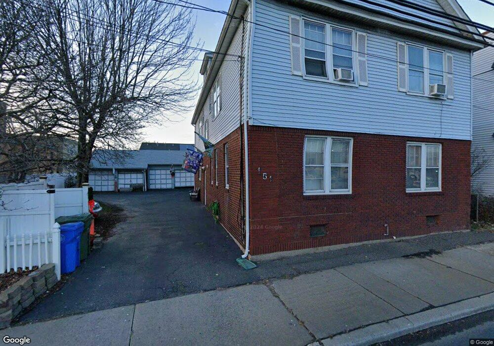
151 E Edgar Rd Linden, NJ 07036
Estimated Value: $672,562 - $846,000
Studio
--
Bath
3,306
Sq Ft
$234/Sq Ft
Est. Value
About This Home
This home is located at 151 E Edgar Rd, Linden, NJ 07036 and is currently estimated at $772,141, approximately $233 per square foot. 151 E Edgar Rd is a home located in Union County with nearby schools including School No. 6, Joseph E. Soehl Middle School, and Linden High School.
Ownership History
Date
Name
Owned For
Owner Type
Purchase Details
Closed on
Sep 27, 2023
Sold by
Riordan Anna B
Bought by
Riordan Denise A
Current Estimated Value
Purchase Details
Closed on
Jun 3, 1976
Bought by
Riordan Denise A
Create a Home Valuation Report for This Property
The Home Valuation Report is an in-depth analysis detailing your home's value as well as a comparison with similar homes in the area
Home Values in the Area
Average Home Value in this Area
Purchase History
| Date | Buyer | Sale Price | Title Company |
|---|---|---|---|
| Riordan Denise A | -- | None Listed On Document | |
| Riordan Denise A | -- | None Listed On Document | |
| Riordan Denise A | $7,000 | -- |
Source: Public Records
Tax History
| Year | Tax Paid | Tax Assessment Tax Assessment Total Assessment is a certain percentage of the fair market value that is determined by local assessors to be the total taxable value of land and additions on the property. | Land | Improvement |
|---|---|---|---|---|
| 2025 | $10,829 | $154,000 | $46,600 | $107,400 |
| 2024 | $10,592 | $154,000 | $46,600 | $107,400 |
| 2023 | $10,592 | $154,000 | $46,600 | $107,400 |
| 2022 | $10,648 | $154,000 | $46,600 | $107,400 |
| 2021 | $10,701 | $154,000 | $46,600 | $107,400 |
| 2020 | $10,644 | $154,000 | $46,600 | $107,400 |
| 2019 | $10,609 | $154,000 | $46,600 | $107,400 |
| 2018 | $10,606 | $154,000 | $46,600 | $107,400 |
| 2017 | $10,377 | $154,000 | $46,600 | $107,400 |
| 2016 | $10,050 | $154,000 | $46,600 | $107,400 |
| 2015 | $9,667 | $154,000 | $46,600 | $107,400 |
| 2014 | $9,479 | $154,000 | $46,600 | $107,400 |
Source: Public Records
Map
Nearby Homes
- 111 E 10th St
- 135 Liberty St
- 112 E 12th St
- 119 E 13th St
- 11 W 12th St
- 46 W 12th St
- 317 Mitchell Ave
- 300 Kennedy Dr
- 12 Belmont Place
- 1713 S Wood Ave Unit 2
- 226 Pennsylvania Railroad Ave
- 116 W 17th St Unit 2
- 212 W Morris Ave
- 108 W 18th St
- 1930 S Wood Ave
- 10 N Wood Ave Unit 406
- 10 N Wood Ave Unit 717
- 111 Todd Place
- 208 E Price St
- 120 S Stiles St
- 161 E Edgar Rd
- 130 Liberty St
- 138 Liberty St
- 126 Liberty St
- 142 Liberty St
- 144 Liberty St
- 144 E Edgar Rd
- 152 E Edgar Rd
- 126 E Edgar Rd
- 908 Woodlawn Ave
- 133 Liberty St
- 129 Liberty St
- 114 E Edgar Rd
- 141 Liberty St
- 141 Liberty St Unit 2
- 141 Liberty St
- 123 Liberty St Unit 3
- 123 Liberty St Unit 2
- 123 Liberty St
- 117 Liberty St
Your Personal Tour Guide
Ask me questions while you tour the home.