151 E Marjorie Ln Shelton, WA 98584
Estimated Value: $466,000 - $676,000
3
Beds
2
Baths
2,236
Sq Ft
$257/Sq Ft
Est. Value
About This Home
This home is located at 151 E Marjorie Ln, Shelton, WA 98584 and is currently estimated at $574,180, approximately $256 per square foot. 151 E Marjorie Ln is a home located in Mason County with nearby schools including Pioneer Primary School and Pioneer Intermediate/Middle School.
Ownership History
Date
Name
Owned For
Owner Type
Purchase Details
Closed on
May 12, 2017
Sold by
Lougheed Steve E and Lougheed Steve
Bought by
Lougheed Steve E and Dahl Tracy L
Current Estimated Value
Home Financials for this Owner
Home Financials are based on the most recent Mortgage that was taken out on this home.
Original Mortgage
$194,000
Interest Rate
3.36%
Mortgage Type
New Conventional
Create a Home Valuation Report for This Property
The Home Valuation Report is an in-depth analysis detailing your home's value as well as a comparison with similar homes in the area
Home Values in the Area
Average Home Value in this Area
Purchase History
| Date | Buyer | Sale Price | Title Company |
|---|---|---|---|
| Lougheed Steve E | -- | Land Title Company |
Source: Public Records
Mortgage History
| Date | Status | Borrower | Loan Amount |
|---|---|---|---|
| Closed | Lougheed Steve E | $194,000 |
Source: Public Records
Tax History Compared to Growth
Tax History
| Year | Tax Paid | Tax Assessment Tax Assessment Total Assessment is a certain percentage of the fair market value that is determined by local assessors to be the total taxable value of land and additions on the property. | Land | Improvement |
|---|---|---|---|---|
| 2025 | $4,399 | $577,700 | $52,790 | $524,910 |
| 2023 | $4,399 | $521,990 | $49,785 | $472,205 |
| 2022 | $4,520 | $459,415 | $44,055 | $415,360 |
| 2021 | $3,941 | $459,415 | $44,055 | $415,360 |
| 2020 | $4,096 | $368,530 | $41,955 | $326,575 |
| 2018 | $2,911 | $248,065 | $37,800 | $210,265 |
| 2017 | $2,464 | $248,065 | $37,800 | $210,265 |
| 2016 | $2,468 | $215,985 | $33,075 | $182,910 |
| 2015 | $2,126 | $215,985 | $33,075 | $182,910 |
| 2014 | -- | $205,825 | $31,500 | $174,325 |
| 2013 | -- | $184,260 | $31,500 | $152,760 |
Source: Public Records
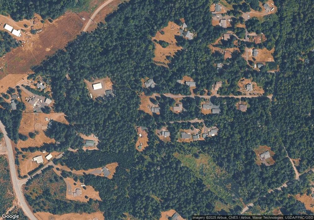
Map
Nearby Homes
- 111 E Maryann Place
- 0 E Greenview Ln
- 1620 E Mason Lake Rd
- 420 E Dartmoor Dr
- 200 E Dartmoor Dr
- 560 E Dartmoor Dr Unit 138
- 424 E Olde Lyme Rd
- 571 E Olde Lyme Rd
- 330 E Road of Tralee
- 281 E Road of Tralee
- 120 E Road of Tralee
- 821 E Olde Lyme Rd
- 220 E Peebles Ct
- 81 E Dunoon Place
- 40 E Olde Lyme Rd
- 0 E Olde Lyme Rd
- 201 E Sleaford Rd
- 271 E Ballantrae Dr
- 280 E Clonakilty Dr
- 1341 E Beaver Ave
- 160 E Marjorie Ln
- 81 E Maryann Place
- 131 E Marjorie Ln
- 41 E Maryann Place
- 120 E Marjorie Ln
- 101 E Marjorie Ln
- 31 E Maryann Place
- 80 E Marjorie Ln
- 120 E Mikkelsen Rd
- 100 E Carrie Ann Ln
- 180 E Mikkelsen Rd
- 140 E Mikkelsen Rd
- 61 E Marjorie Ln
- 31 E Kathryn Ct
- 121 E Mikkelsen Rd
- 50 E Marjorie Ln
- 51 E Kathryn Ct
- 70 E Kathryn Ct
- 0 XXX E Kathryn Ct
- 0 LOT D E Kathryn Ct