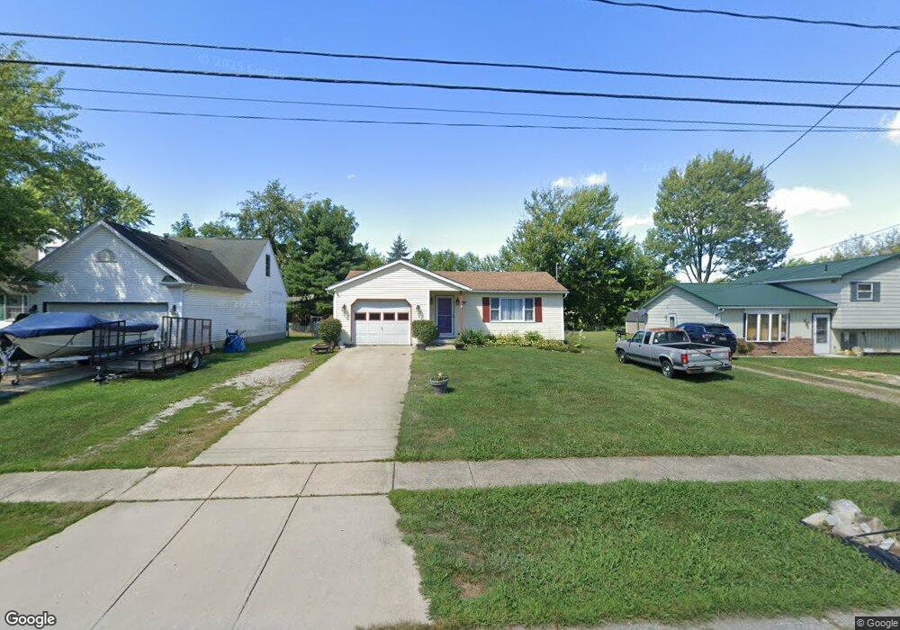
151 Factory St Lagrange, OH 44050
Estimated Value: $178,000 - $250,000
3
Beds
1
Bath
1,104
Sq Ft
$180/Sq Ft
Est. Value
About This Home
This home is located at 151 Factory St, Lagrange, OH 44050 and is currently estimated at $198,262, approximately $179 per square foot. 151 Factory St is a home located in Lorain County with nearby schools including Keystone Elementary School, Keystone Middle School, and Keystone High School.
Ownership History
Date
Name
Owned For
Owner Type
Purchase Details
Closed on
Nov 24, 2015
Sold by
Vojtkofsky Tami R and Yearles Richard R
Bought by
Thacker Ii Roy D
Current Estimated Value
Home Financials for this Owner
Home Financials are based on the most recent Mortgage that was taken out on this home.
Original Mortgage
$95,243
Outstanding Balance
$76,429
Interest Rate
4.4%
Mortgage Type
FHA
Estimated Equity
$121,833
Purchase Details
Closed on
Apr 24, 2007
Sold by
Smith Jodie E
Bought by
Yeaples Dolores E
Create a Home Valuation Report for This Property
The Home Valuation Report is an in-depth analysis detailing your home's value as well as a comparison with similar homes in the area
Home Values in the Area
Average Home Value in this Area
Purchase History
| Date | Buyer | Sale Price | Title Company |
|---|---|---|---|
| Thacker Ii Roy D | $97,000 | Old Republic National Title | |
| Yeaples Dolores E | $125,000 | First American |
Source: Public Records
Mortgage History
| Date | Status | Borrower | Loan Amount |
|---|---|---|---|
| Open | Thacker Ii Roy D | $95,243 |
Source: Public Records
Tax History
| Year | Tax Paid | Tax Assessment Tax Assessment Total Assessment is a certain percentage of the fair market value that is determined by local assessors to be the total taxable value of land and additions on the property. | Land | Improvement |
|---|---|---|---|---|
| 2024 | $2,051 | $48,395 | $6,363 | $42,032 |
| 2023 | $2,353 | $46,368 | $6,825 | $39,543 |
| 2022 | $2,337 | $46,368 | $6,825 | $39,543 |
| 2021 | $2,338 | $46,368 | $6,825 | $39,543 |
| 2020 | $2,134 | $37,700 | $5,550 | $32,150 |
| 2019 | $2,121 | $37,700 | $5,550 | $32,150 |
| 2018 | $2,150 | $37,700 | $5,550 | $32,150 |
| 2017 | $2,252 | $38,820 | $4,060 | $34,760 |
| 2016 | $2,237 | $38,820 | $4,060 | $34,760 |
| 2015 | $1,730 | $38,820 | $4,060 | $34,760 |
| 2014 | $1,285 | $34,050 | $3,560 | $30,490 |
| 2013 | $1,246 | $34,050 | $3,560 | $30,490 |
Source: Public Records
Map
Nearby Homes
- 305 W Main St
- 317 Church St
- 110 Railroad St
- 516 Appomattox Ct
- 0 Dill Ct Unit 5072837
- 567 Vicksburg Ct
- 548 William St
- 340 Granger Dr
- 808 Buckingham Dr
- 800 Buckingham Dr
- 829 Robinson Dr
- 801 Willich Ct
- 40260 Whitney Rd
- 42113 Meadow Ln
- 704 Black Bear Run
- 510 Arabian Ct
- 476 Stallion Ct
- 468 Stallion Ct
- 43902 State Route 303
- 40175 Banks Rd
- 155 Factory St
- 147 Factory St
- 157 Factory St
- 4 Factory Way
- 150 Factory St
- 159 Factory St
- 202 Factory St
- 0 Factory Way Unit 3980406
- 4 SL Factory Way
- 210 Factory St
- 300 Prospect St
- 311 W Main St
- 103 Factory Way
- 231 W Main St
- 227 W Main St
- 225 W Main St
- 300 Factory St
- 309 Prospect St
- 108 Factory Way
- 315 Prospect St
Your Personal Tour Guide
Ask me questions while you tour the home.