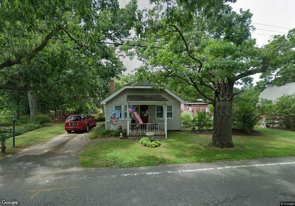
151 Forge Rd West Creek, NJ 08092
Estimated Value: $356,000 - $465,219
4
Beds
2
Baths
2,306
Sq Ft
$173/Sq Ft
Est. Value
About This Home
This home is located at 151 Forge Rd, West Creek, NJ 08092 and is currently estimated at $398,555, approximately $172 per square foot. 151 Forge Rd is a home located in Ocean County with nearby schools including Eagleswood Elementary School, Pinelands Regional Junior High School, and Pinelands Regional High School.
Ownership History
Date
Name
Owned For
Owner Type
Purchase Details
Closed on
Feb 7, 2013
Sold by
Martin Dustin
Bought by
Gortner Robert and Gortner Antoinette
Current Estimated Value
Purchase Details
Closed on
Dec 14, 2005
Sold by
Engle Robert A and Engle Marilyn B
Bought by
Wilson Karen B Scharnagl
Home Financials for this Owner
Home Financials are based on the most recent Mortgage that was taken out on this home.
Original Mortgage
$84,000
Interest Rate
6.34%
Mortgage Type
Fannie Mae Freddie Mac
Purchase Details
Closed on
Oct 1, 1997
Sold by
Clendening Katherine
Bought by
Engle Robert A and Engle Marilyn B
Create a Home Valuation Report for This Property
The Home Valuation Report is an in-depth analysis detailing your home's value as well as a comparison with similar homes in the area
Home Values in the Area
Average Home Value in this Area
Purchase History
| Date | Buyer | Sale Price | Title Company |
|---|---|---|---|
| Gortner Robert | $52,000 | None Available | |
| Wilson Karen B Scharnagl | $105,000 | Lawyers Title Ins | |
| Engle Robert A | $85,000 | -- |
Source: Public Records
Mortgage History
| Date | Status | Borrower | Loan Amount |
|---|---|---|---|
| Previous Owner | Wilson Karen B Scharnagl | $84,000 |
Source: Public Records
Tax History
| Year | Tax Paid | Tax Assessment Tax Assessment Total Assessment is a certain percentage of the fair market value that is determined by local assessors to be the total taxable value of land and additions on the property. | Land | Improvement |
|---|---|---|---|---|
| 2025 | $7,674 | $256,900 | $70,500 | $186,400 |
| 2024 | $7,044 | $256,900 | $70,500 | $186,400 |
| 2023 | $6,867 | $256,900 | $70,500 | $186,400 |
| 2022 | $6,867 | $256,900 | $70,500 | $186,400 |
| 2021 | $6,831 | $256,900 | $70,500 | $186,400 |
| 2020 | $6,967 | $256,900 | $70,500 | $186,400 |
| 2019 | $6,756 | $256,900 | $70,500 | $186,400 |
| 2018 | $8,384 | $341,800 | $169,500 | $172,300 |
| 2017 | $8,364 | $341,800 | $169,500 | $172,300 |
| 2016 | $8,087 | $341,800 | $169,500 | $172,300 |
| 2015 | $7,769 | $341,800 | $169,500 | $172,300 |
| 2014 | $7,513 | $341,800 | $169,500 | $172,300 |
Source: Public Records
Map
Nearby Homes
Your Personal Tour Guide
Ask me questions while you tour the home.