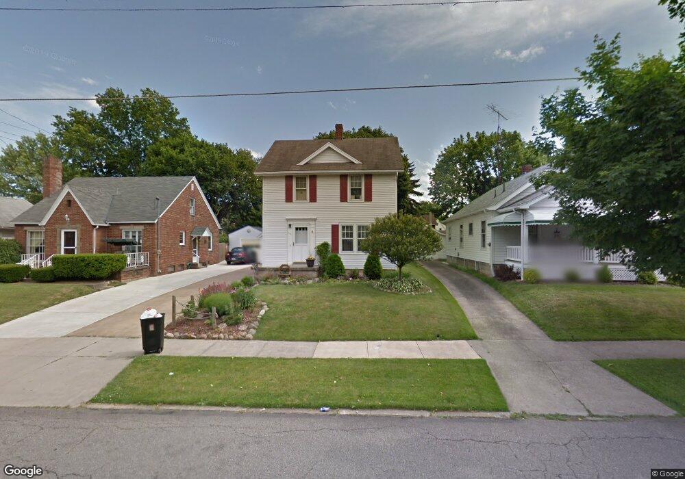
151 Gibson Ave Mansfield, OH 44907
Estimated Value: $126,000 - $147,000
3
Beds
1
Bath
1,248
Sq Ft
$110/Sq Ft
Est. Value
About This Home
This home is located at 151 Gibson Ave, Mansfield, OH 44907 and is currently estimated at $137,527, approximately $110 per square foot. 151 Gibson Ave is a home located in Richland County with nearby schools including St. Peter's Elementary/Montessori School, Discovery School, and St. Peter's Junior High / High School.
Ownership History
Date
Name
Owned For
Owner Type
Purchase Details
Closed on
Nov 18, 1996
Sold by
Bowman Gene L
Bought by
Bowman Eric K
Current Estimated Value
Home Financials for this Owner
Home Financials are based on the most recent Mortgage that was taken out on this home.
Original Mortgage
$49,500
Interest Rate
8.18%
Mortgage Type
New Conventional
Purchase Details
Closed on
Feb 1, 1985
Create a Home Valuation Report for This Property
The Home Valuation Report is an in-depth analysis detailing your home's value as well as a comparison with similar homes in the area
Home Values in the Area
Average Home Value in this Area
Purchase History
| Date | Buyer | Sale Price | Title Company |
|---|---|---|---|
| Bowman Eric K | $55,000 | -- | |
| -- | $38,000 | -- |
Source: Public Records
Mortgage History
| Date | Status | Borrower | Loan Amount |
|---|---|---|---|
| Closed | Bowman Eric K | $49,500 |
Source: Public Records
Tax History
| Year | Tax Paid | Tax Assessment Tax Assessment Total Assessment is a certain percentage of the fair market value that is determined by local assessors to be the total taxable value of land and additions on the property. | Land | Improvement |
|---|---|---|---|---|
| 2024 | $1,508 | $32,940 | $5,150 | $27,790 |
| 2023 | $1,542 | $32,940 | $5,150 | $27,790 |
| 2022 | $1,535 | $27,480 | $5,070 | $22,410 |
| 2021 | $1,546 | $27,480 | $5,070 | $22,410 |
| 2020 | $1,581 | $27,480 | $5,070 | $22,410 |
| 2019 | $1,492 | $23,400 | $4,290 | $19,110 |
| 2018 | $1,472 | $23,400 | $4,290 | $19,110 |
| 2017 | $1,414 | $23,400 | $4,290 | $19,110 |
| 2016 | $1,397 | $22,130 | $4,080 | $18,050 |
| 2015 | $1,334 | $22,130 | $4,080 | $18,050 |
| 2014 | $1,317 | $22,130 | $4,080 | $18,050 |
| 2012 | $528 | $23,290 | $4,290 | $19,000 |
Source: Public Records
Map
Nearby Homes
- 456 Lexington Ave
- 101 Chilton Ave
- 466 Lexington Ave
- 470 Lexington Ave
- 27 Dunbilt Ct
- 0 Cline Ave Hedeen Abbeyfeale Unit 9066362
- 219 Lexington Ave
- 133 Winwood Dr
- 310 Townview Cir N
- 151 Grover St
- 341 Townview Cir N
- 394 S Main St
- 377 S Main St
- 575 Crescent Rd
- 28 W Blanche St
- 286 S Main St
- 273 Hammond Ave
- 695 S Andover Rd
- 22 Small Ave
- 282 Vennum Ave
Your Personal Tour Guide
Ask me questions while you tour the home.