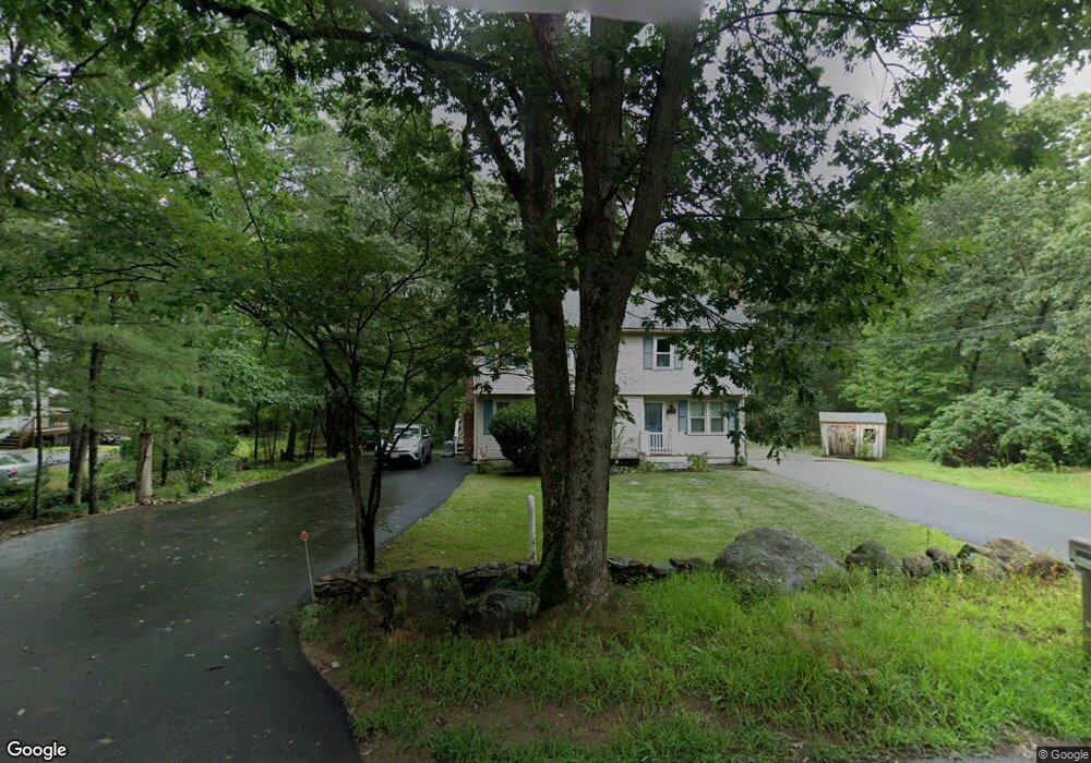
151 Harkness Rd Unit A Millville, MA 01529
Estimated Value: $227,000 - $317,000
2
Beds
2
Baths
848
Sq Ft
$331/Sq Ft
Est. Value
About This Home
This home is located at 151 Harkness Rd Unit A, Millville, MA 01529 and is currently estimated at $280,935, approximately $331 per square foot. 151 Harkness Rd Unit A is a home located in Worcester County with nearby schools including Blackstone-Millville Regional High School.
Ownership History
Date
Name
Owned For
Owner Type
Purchase Details
Closed on
Apr 11, 2025
Sold by
Guilfoil Lee A and Guilfoil Jason P
Bought by
Lee Ann Guilfoil Irt
Current Estimated Value
Purchase Details
Closed on
Jan 25, 2016
Sold by
Guilfoil Lee A
Bought by
Guilfoil Lee A and Guilfoil Jason P
Purchase Details
Closed on
Jun 30, 1986
Bought by
Guilfoil Lee A and Guilfoil Jason P
Create a Home Valuation Report for This Property
The Home Valuation Report is an in-depth analysis detailing your home's value as well as a comparison with similar homes in the area
Home Values in the Area
Average Home Value in this Area
Purchase History
| Date | Buyer | Sale Price | Title Company |
|---|---|---|---|
| Lee Ann Guilfoil Irt | -- | -- | |
| Guilfoil Lee A | -- | -- | |
| Guilfoil Lee A | $81,900 | -- |
Source: Public Records
Mortgage History
| Date | Status | Borrower | Loan Amount |
|---|---|---|---|
| Previous Owner | Guilfoil Lee A | $68,500 |
Source: Public Records
Tax History Compared to Growth
Tax History
| Year | Tax Paid | Tax Assessment Tax Assessment Total Assessment is a certain percentage of the fair market value that is determined by local assessors to be the total taxable value of land and additions on the property. | Land | Improvement |
|---|---|---|---|---|
| 2025 | $1,988 | $150,700 | $0 | $150,700 |
| 2024 | $2,862 | $216,500 | $0 | $216,500 |
| 2023 | $2,822 | $203,200 | $0 | $203,200 |
| 2022 | $2,277 | $150,700 | $0 | $150,700 |
| 2021 | $2,195 | $137,800 | $0 | $137,800 |
| 2020 | $2,160 | $134,400 | $0 | $134,400 |
| 2019 | $2,199 | $136,100 | $0 | $136,100 |
| 2018 | $2,044 | $123,400 | $0 | $123,400 |
| 2017 | $1,808 | $112,200 | $0 | $112,200 |
| 2016 | $1,882 | $111,300 | $0 | $111,300 |
| 2015 | $1,840 | $106,700 | $0 | $106,700 |
| 2014 | $1,596 | $92,900 | $0 | $92,900 |
Source: Public Records
Map
Nearby Homes
- 0 Main St
- 104 Old Great Rd
- 259 Main St
- 1 Tupperware Dr Unit 226
- 1 Tupperware Dr Unit 138
- 1 Tupperware Dr Unit 108
- 470 Saint Paul St
- 225-227 Main St
- 246 Saint Paul St
- 175 Saint Paul St
- 6 Old Mendon St
- 8 Old Mendon St Unit 8
- 122 Canal St
- 784 Victory Hwy
- 16 Preston St
- 34 Lincoln St
- 53 Maple Ave
- 24 Lincoln St
- 187 Main St
- 0 Buxton St Unit 1386233
- 151 Harkness Rd Unit B
- 143 Harkness Rd Unit B
- 143 Harkness Rd Unit A
- 143 Harkness Rd
- 143-B Harkness Rd Unit 2
- 0 Harkness Rd
- 53 Harkness Rd
- 139 Harkness Rd Unit B
- 139 Harkness Rd Unit A
- 139 Harkness Rd Unit 139A
- 51 Harkness Rd
- 74 Harkness Rd
- 49 Harkness Rd
- 131B Harkness Rd Unit 131
- 131 Harkness Rd Unit A
- 131 Harkness Rd Unit 131B
- 57 Harkness Rd
- 0 Harkness Rd W
- 0 Harkness Rd
- 125 Harkness Rd Unit B