Estimated Value: $338,000 - $612,000
--
Bed
--
Bath
1,520
Sq Ft
$284/Sq Ft
Est. Value
About This Home
This home is located at 151 Hussey Hill Rd, Acton, ME 04001 and is currently estimated at $432,421, approximately $284 per square foot. 151 Hussey Hill Rd is a home with nearby schools including Acton Elementary School.
Create a Home Valuation Report for This Property
The Home Valuation Report is an in-depth analysis detailing your home's value as well as a comparison with similar homes in the area
Home Values in the Area
Average Home Value in this Area
Tax History Compared to Growth
Tax History
| Year | Tax Paid | Tax Assessment Tax Assessment Total Assessment is a certain percentage of the fair market value that is determined by local assessors to be the total taxable value of land and additions on the property. | Land | Improvement |
|---|---|---|---|---|
| 2024 | $2,054 | $290,513 | $90,600 | $199,913 |
| 2023 | $1,874 | $290,513 | $90,600 | $199,913 |
| 2022 | $2,470 | $206,691 | $58,250 | $148,441 |
| 2021 | $2,470 | $206,691 | $58,250 | $148,441 |
| 2020 | $2,491 | $206,691 | $58,250 | $148,441 |
| 2019 | $2,491 | $206,691 | $58,250 | $148,441 |
| 2018 | $2,491 | $206,691 | $58,250 | $148,441 |
| 2017 | $2,460 | $206,691 | $58,250 | $148,441 |
| 2016 | $2,325 | $206,691 | $58,250 | $148,441 |
| 2015 | $2,387 | $206,691 | $58,250 | $148,441 |
| 2014 | $2,294 | $206,691 | $58,250 | $148,441 |
Source: Public Records
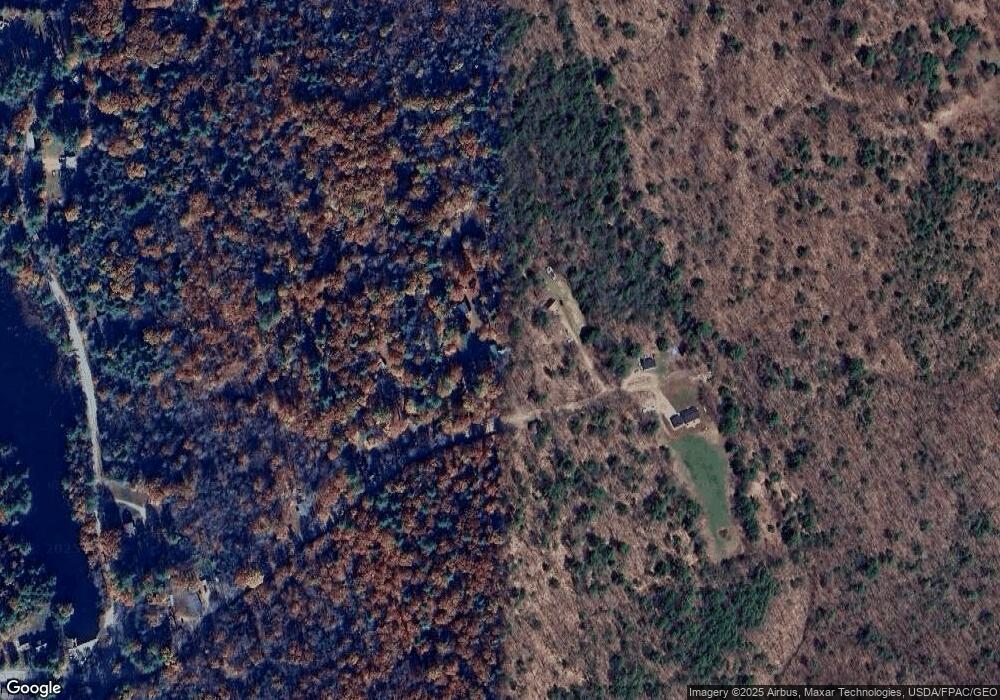
Map
Nearby Homes
- 177 Hussey Hill Rd
- 119 Hussey Hill Rd
- 183 Hussey Hill Rd
- 0 Hussey Hill Rd
- 79 Hussey Hill Rd
- 1515 Hopper Rd
- 1563 Hopper Rd
- 1411 Hopper Rd
- 1463 Hopper Rd
- 1447 Hopper Rd
- Lt.238-5 Hussey Hill Rd
- 1435 Hopper Rd
- 1486 Hopper Rd
- 0 Hopper Rd
- 0 Hopper Rd Unit 867976
- 0 Hopper Rd Unit 745130
- 0 Hopper Rd Unit 738949
- 0 Hopper Rd Unit 719534
- 0 Hopper Rd Unit 354585
- 0 Hopper Rd Unit 276517