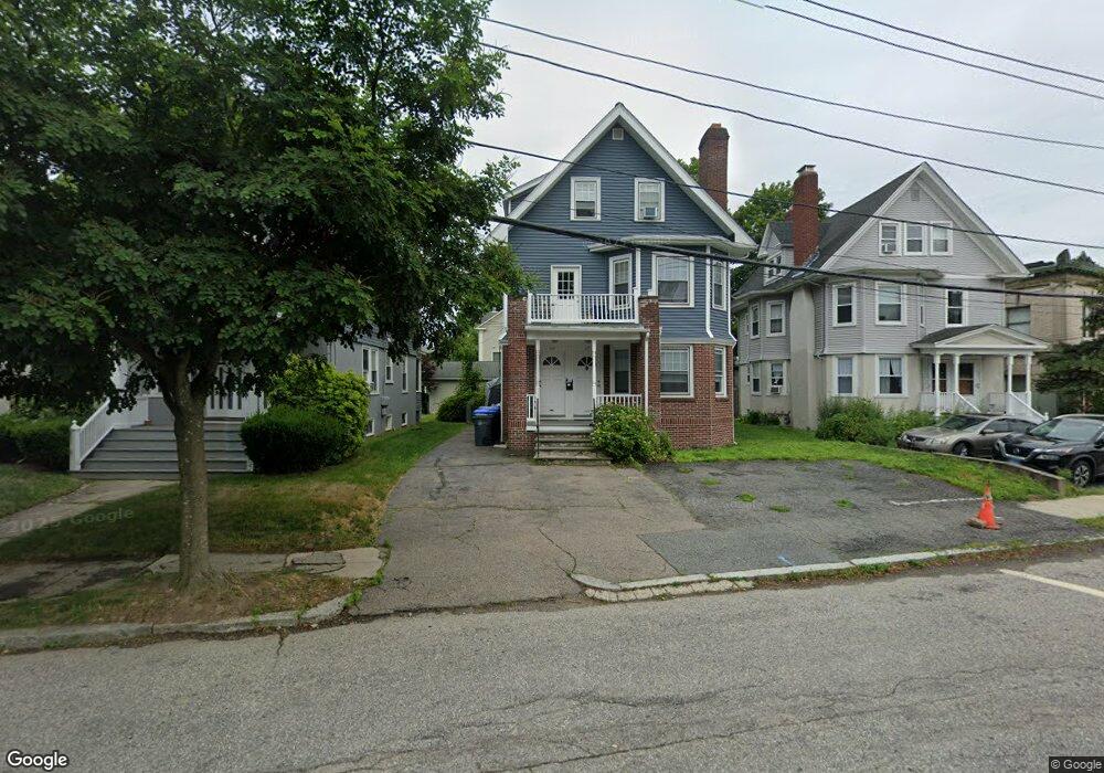
151 Irving Ave Unit 1 Providence, RI 02906
Wayland NeighborhoodEstimated Value: $899,000 - $941,000
2
Beds
1
Bath
1,000
Sq Ft
$914/Sq Ft
Est. Value
About This Home
This home is located at 151 Irving Ave Unit 1, Providence, RI 02906 and is currently estimated at $914,230, approximately $914 per square foot. 151 Irving Ave Unit 1 is a home located in Providence County with nearby schools including Asa Messer Elementary School, Charles N. Fortes Elementary School, and Robert L. Bailey IV Elementary.
Ownership History
Date
Name
Owned For
Owner Type
Purchase Details
Closed on
Dec 12, 2019
Sold by
151 Irving Ave Llc
Bought by
153 Irving Ave Llc
Current Estimated Value
Purchase Details
Closed on
Jun 15, 2017
Sold by
Homewood Acress Rigp and Providence City Of
Bought by
151 Irving Llc
Purchase Details
Closed on
Jul 26, 2016
Sold by
Smith Realty 2 and Providence City Of
Bought by
151 Irving Avenue Llc
Purchase Details
Closed on
Sep 13, 2012
Sold by
Conboy Rose M Est and Conboy
Bought by
151 Irving Ave Llc
Create a Home Valuation Report for This Property
The Home Valuation Report is an in-depth analysis detailing your home's value as well as a comparison with similar homes in the area
Home Values in the Area
Average Home Value in this Area
Purchase History
| Date | Buyer | Sale Price | Title Company |
|---|---|---|---|
| 153 Irving Ave Llc | $474,000 | None Available | |
| 151 Irving Llc | $10,927 | -- | |
| 151 Irving Avenue Llc | -- | -- | |
| 151 Irving Ave Llc | $220,000 | -- |
Source: Public Records
Tax History Compared to Growth
Tax History
| Year | Tax Paid | Tax Assessment Tax Assessment Total Assessment is a certain percentage of the fair market value that is determined by local assessors to be the total taxable value of land and additions on the property. | Land | Improvement |
|---|---|---|---|---|
| 2024 | $11,621 | $633,300 | $352,900 | $280,400 |
| 2023 | $11,621 | $633,300 | $352,900 | $280,400 |
| 2022 | $11,273 | $633,300 | $352,900 | $280,400 |
| 2021 | $11,010 | $448,300 | $268,600 | $179,700 |
| 2020 | $10,490 | $427,100 | $268,600 | $158,500 |
| 2019 | $10,490 | $427,100 | $268,600 | $158,500 |
| 2018 | $11,176 | $349,700 | $244,200 | $105,500 |
| 2017 | $11,176 | $349,700 | $244,200 | $105,500 |
| 2016 | $11,176 | $349,700 | $244,200 | $105,500 |
| 2015 | $10,827 | $327,100 | $235,600 | $91,500 |
| 2014 | $11,040 | $327,100 | $235,600 | $91,500 |
| 2013 | $11,148 | $330,300 | $235,600 | $94,700 |
Source: Public Records
Map
Nearby Homes
- 134 Irving Ave
- 141 Elton St
- 30 Blackstone Blvd Unit 202
- 349 Wayland Ave
- 234 President Ave Unit 16
- 48 Grotto Ave
- 537 Angell St Unit 3
- 189 Laurel Ave Unit 189
- 22 Miles Ave Unit 1
- 30 S Angell St Unit 2
- 30 S Angell St Unit 3
- 19 S Angell St Unit 2
- 125 Taber Ave
- 72 Taber Ave
- 160 Slater Ave
- 163 Butler Ave Unit 2
- 188 Blackstone Blvd
- 228 Medway St
- 410 Angell St Unit 1
- 229 Medway St Unit 103
- 151 Irving Ave
- 155 Irving Ave
- 147 Irving Ave
- 157 Irving Ave
- 143 Irving Ave
- 143 Irving Ave Unit 1
- 143 Irving Ave Unit 3
- 143 Irving Ave Unit 2
- 5 Cole Ave
- 159 Irving Ave
- 159 Irving Ave Unit 3
- 159 Irving Ave Unit 2
- 122 Elton St
- 116 Elton St
- 163 Irving Ave
- 152 Irving Ave
- 152 Irving Ave Unit 2
- 167 Irving Ave
- 154 Irving Ave Unit 3C
- 154 Irving Ave Unit 3B