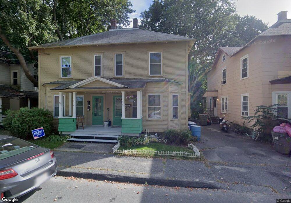
151 Liberty St North Adams, MA 01247
Estimated Value: $194,000 - $250,543
3
Beds
2
Baths
1,707
Sq Ft
$133/Sq Ft
Est. Value
About This Home
This home is located at 151 Liberty St, North Adams, MA 01247 and is currently estimated at $226,636, approximately $132 per square foot. 151 Liberty St is a home located in Berkshire County with nearby schools including Greylock Elementary School and Drury High School.
Ownership History
Date
Name
Owned For
Owner Type
Purchase Details
Closed on
Aug 28, 2013
Sold by
Leonesio John W
Bought by
Leonesio John W and Leonesio Tina M
Current Estimated Value
Home Financials for this Owner
Home Financials are based on the most recent Mortgage that was taken out on this home.
Original Mortgage
$42,000
Outstanding Balance
$31,151
Interest Rate
4.4%
Mortgage Type
New Conventional
Estimated Equity
$195,485
Create a Home Valuation Report for This Property
The Home Valuation Report is an in-depth analysis detailing your home's value as well as a comparison with similar homes in the area
Home Values in the Area
Average Home Value in this Area
Purchase History
| Date | Buyer | Sale Price | Title Company |
|---|---|---|---|
| Leonesio John W | -- | -- | |
| Leonesio John W | -- | -- |
Source: Public Records
Mortgage History
| Date | Status | Borrower | Loan Amount |
|---|---|---|---|
| Open | Leonesio John W | $42,000 | |
| Closed | Leonesio John W | $42,000 | |
| Previous Owner | Leonesio John W | $36,500 | |
| Previous Owner | Leonesio John W | $5,000 |
Source: Public Records
Tax History Compared to Growth
Tax History
| Year | Tax Paid | Tax Assessment Tax Assessment Total Assessment is a certain percentage of the fair market value that is determined by local assessors to be the total taxable value of land and additions on the property. | Land | Improvement |
|---|---|---|---|---|
| 2025 | $3,786 | $226,600 | $34,500 | $192,100 |
| 2024 | $3,558 | $207,600 | $31,600 | $176,000 |
| 2023 | $3,481 | $197,000 | $31,600 | $165,400 |
| 2022 | $3,143 | $169,600 | $31,600 | $138,000 |
| 2021 | $2,922 | $157,000 | $29,200 | $127,800 |
| 2020 | $23 | $151,200 | $29,100 | $122,100 |
| 2019 | $2,704 | $141,500 | $29,100 | $112,400 |
| 2018 | $2,597 | $141,300 | $30,600 | $110,700 |
| 2017 | $2,470 | $139,800 | $30,300 | $109,500 |
| 2016 | $2,393 | $137,600 | $30,300 | $107,300 |
| 2015 | $2,163 | $129,600 | $31,300 | $98,300 |
Source: Public Records
Map
Nearby Homes
- 62-64 Chase Ave
- 166 Houghton St
- 66-68 Bracewell Ave
- 33-35 Hall St
- 0 River St
- 50 1/2 Williams St
- 24 Franklin St
- 159 Eagle St
- 37 Fuller St
- 22 Marietta St
- 54 Marietta St
- 38 Wesleyan St
- 33 Hudson St
- 35 Jackson St
- 41 Prospect St
- 19 N Church St Unit 11
- 19 N Church St Unit 14
- 19 N Church St Unit 12
- 19 N Church St Unit 7
- 84 W Main St
- 167 Liberty St
- 111 N Holden St
- 139 Liberty St
- 156 Liberty St Unit 158
- 146 Liberty St Unit 148
- 32 Brooklyn St
- 117 N Holden St
- 140 Liberty St Unit 142
- 174 Liberty St
- 87 N Holden St Unit 89
- 129 Liberty St Unit 131
- 129 Liberty St
- 112 N Holden St
- 42 Brooklyn St
- 85 N Holden St
- 180 Liberty St
- 187 Liberty St
- 124 N Holden St
- 111 Hospital Ave
- 73 N Holden St