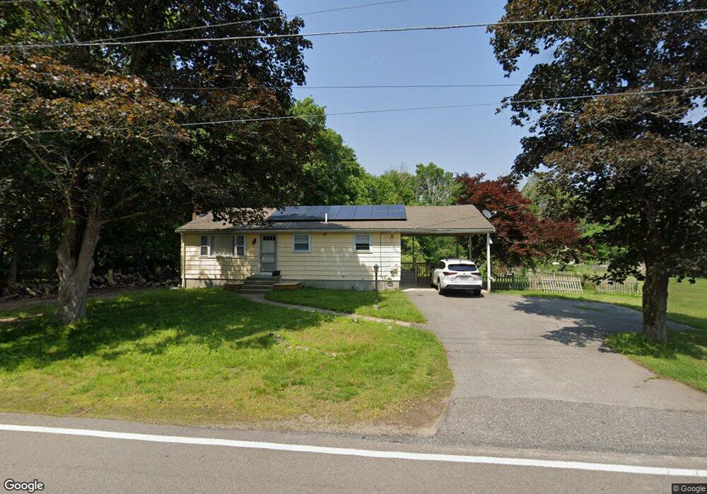
151 Massapoag Ave Unit 1 North Easton, MA 02356
Estimated Value: $519,000 - $606,303
3
Beds
2
Baths
1,120
Sq Ft
$500/Sq Ft
Est. Value
About This Home
This home is located at 151 Massapoag Ave Unit 1, North Easton, MA 02356 and is currently estimated at $560,326, approximately $500 per square foot. 151 Massapoag Ave Unit 1 is a home located in Bristol County with nearby schools including Easton Middle School, Oliver Ames High School, and St Mary's Catholic School.
Ownership History
Date
Name
Owned For
Owner Type
Purchase Details
Closed on
Nov 14, 2021
Sold by
Pitiner Dusan and Pittnerova Ludmila
Bought by
Pittner Dusan
Current Estimated Value
Purchase Details
Closed on
Jun 21, 2005
Sold by
Woodworth Barry L and Woodworth Jean A
Bought by
Pittnerova Dusan and Pittnerova Ludmila
Home Financials for this Owner
Home Financials are based on the most recent Mortgage that was taken out on this home.
Original Mortgage
$231,920
Interest Rate
5.78%
Mortgage Type
Purchase Money Mortgage
Create a Home Valuation Report for This Property
The Home Valuation Report is an in-depth analysis detailing your home's value as well as a comparison with similar homes in the area
Home Values in the Area
Average Home Value in this Area
Purchase History
| Date | Buyer | Sale Price | Title Company |
|---|---|---|---|
| Pittner Dusan | -- | None Available | |
| Pittner Dusan | -- | None Available | |
| Pittnerova Dusan | $289,900 | -- | |
| Pittnerova Dusan | $289,900 | -- |
Source: Public Records
Mortgage History
| Date | Status | Borrower | Loan Amount |
|---|---|---|---|
| Previous Owner | Pittnerova Dusan | $231,920 |
Source: Public Records
Tax History Compared to Growth
Tax History
| Year | Tax Paid | Tax Assessment Tax Assessment Total Assessment is a certain percentage of the fair market value that is determined by local assessors to be the total taxable value of land and additions on the property. | Land | Improvement |
|---|---|---|---|---|
| 2025 | $5,740 | $459,900 | $362,200 | $97,700 |
| 2024 | $5,432 | $406,900 | $309,400 | $97,500 |
| 2023 | $5,830 | $399,600 | $309,400 | $90,200 |
| 2022 | $5,459 | $354,700 | $267,800 | $86,900 |
| 2021 | $5,272 | $340,600 | $253,700 | $86,900 |
| 2020 | $5,088 | $330,800 | $243,900 | $86,900 |
| 2019 | $4,898 | $306,900 | $229,100 | $77,800 |
| 2018 | $4,940 | $298,700 | $229,100 | $69,600 |
| 2017 | $4,819 | $297,100 | $229,100 | $68,000 |
| 2016 | $4,770 | $294,600 | $229,100 | $65,500 |
| 2015 | $4,331 | $258,100 | $194,200 | $63,900 |
| 2014 | $4,216 | $253,200 | $188,500 | $64,700 |
Source: Public Records
Map
Nearby Homes
- 98 Massapoag Ave
- 3 Nicole Rd
- 29 Owl Ridge Rd
- 89 Massapoag Ave
- 218 Massapoag Ave
- 260 Massapoag Ave
- 81 Rockland St
- 46 Kerry Dr
- 96 Kevins Way
- 4 Plantation Rd
- 43 Kathleen Grant Rd
- 20 Quarry Ln
- 34 Kevins Way
- 10 Erick Rd Unit 31
- 10 Erick Rd Unit 34
- 11 Kathleen Grant Rd
- 3 Cushing Ln
- 23 Estelle Marsan Dr
- 25 Winter St
- 25 Andrews Farm Rd
- 151 Massapoag Ave
- 147 Massapoag Ave
- 166 Rockland St
- 164 Rockland St
- 157 Massapoag Ave
- 152 Massapoag Ave
- 148 Massapoag Ave
- 143 Massapoag Ave
- 162 Rockland St
- 156 Massapoag Ave
- 144 Massapoag Ave
- 167 Rockland St
- 139 Massapoag Ave
- 165 Rockland St Unit B
- 165 Rockland St Unit A
- 158 Rockland St
- 169 Rockland St
- 160 Massapoag Ave
- 140 Massapoag Ave
- 161 Rockland St