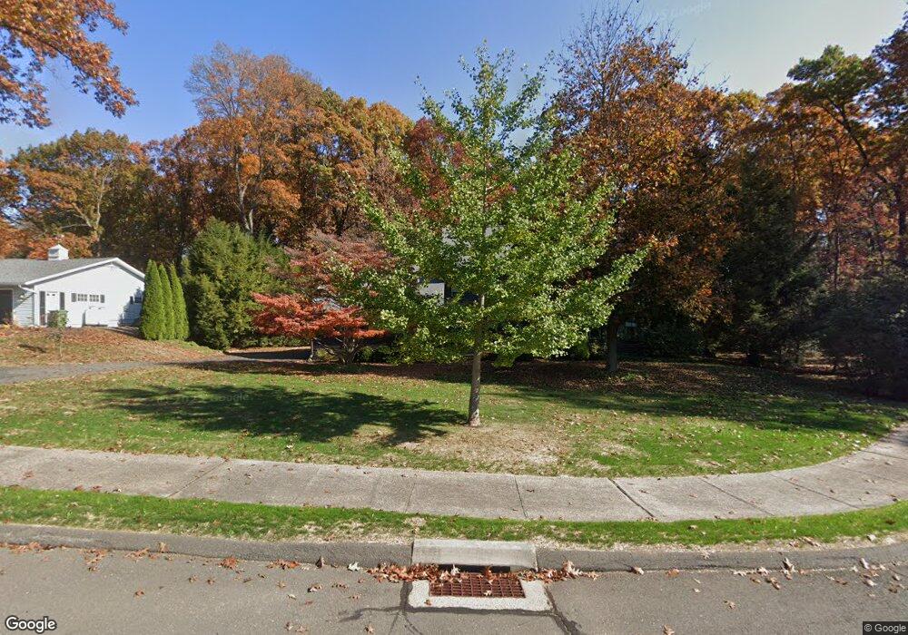
151 Maureen Dr Bristol, CT 06010
North Bristol NeighborhoodEstimated Value: $554,776 - $623,000
About This Home
This home is located at 151 Maureen Dr, Bristol, CT 06010 and is currently estimated at $589,694, approximately $233 per square foot. 151 Maureen Dr is a home located in Hartford County with nearby schools including West Bristol Sch, Bristol Central High School, and Immanuel Lutheran School.
Ownership History
We collect this data history from publicly available records. To have your information removed, we recommend requesting removal directly through your county’s website.
Purchase Details
Home Values in the Area
Average Home Value in this Area
Purchase History
We collect this data history from publicly available records. To have your information removed, we recommend requesting removal directly through your county’s website.
| Date | Buyer | Sale Price | Title Company |
|---|---|---|---|
| -- | -- |
Mortgage History
We collect this data history from publicly available records. To have your information removed, we recommend requesting removal directly through your county’s website.
| Date | Status | Borrower | Loan Amount |
|---|---|---|---|
| Open | $100,000 | ||
| Previous Owner | $20,000 |
Tax History
We collect this data history from publicly available records. To have your information removed, we recommend requesting removal directly through your county’s website.
| Year | Tax Paid | Tax Assessment Tax Assessment Total Assessment is a certain percentage of the fair market value that is determined by local assessors to be the total taxable value of land and additions on the property. | Land | Improvement |
|---|---|---|---|---|
| 2025 | $10,031 | $297,220 | $75,320 | $221,900 |
| 2024 | $9,466 | $297,220 | $75,320 | $221,900 |
| 2023 | $9,418 | $310,310 | $75,320 | $234,990 |
| 2022 | $8,480 | $221,130 | $54,600 | $166,530 |
| 2021 | $8,480 | $221,130 | $54,600 | $166,530 |
| 2020 | $8,330 | $217,210 | $54,600 | $162,610 |
| 2019 | $8,265 | $217,210 | $54,600 | $162,610 |
| 2018 | $8,011 | $217,210 | $54,600 | $162,610 |
| 2017 | $7,798 | $216,440 | $77,980 | $138,460 |
| 2016 | $7,798 | $216,440 | $77,980 | $138,460 |
| 2015 | $7,491 | $216,440 | $77,980 | $138,460 |
| 2014 | $7,491 | $216,440 | $77,980 | $138,460 |
Map
- 439 James P Casey Rd
- 617 Perkins St
- 51 Gillette Way
- 62 (Lot 13-1) James P Casey Rd
- 66 Mills St
- 118 Berkshire Dr
- 83 Peach Tree Ln
- 27 Woodcrest Dr
- 70 James P Casey Rd
- 0 Jamaica St
- 19 Jamaica St
- 523 West St
- 20 Gino Dr
- 48 Lardner Rd
- 66 Gino Dr
- 285 Battle St
- 472 West St
- 527 N Main St
- 63 Gino Dr
- 65 Gino Dr
- 139 Maureen Dr
- 152 Maureen Dr
- 125 Maureen Dr
- 126 Maureen Dr
- 163 Maureen Dr
- 160 Maureen Dr
- 116 Maureen Dr
- 115 Maureen Dr
- 51 Summerberry Rd
- 41 Summerberry Rd
- 61 Summerberry Rd
- 103 Maureen Dr
- 102 Maureen Dr
- 225 Perkins St
- 30 Summerberry Rd
- 54 Summerberry Rd
- 239 Perkins St
- 251 Perkins St
- 91 Maureen Dr
- 215 Perkins St
Ask me questions while you tour the home.