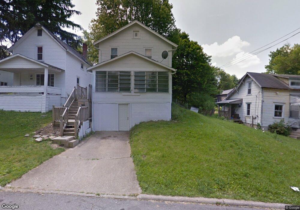
151 Mendota St Mansfield, OH 44903
Estimated Value: $73,000 - $112,000
3
Beds
1
Bath
1,248
Sq Ft
$75/Sq Ft
Est. Value
About This Home
This home is located at 151 Mendota St, Mansfield, OH 44903 and is currently estimated at $93,843, approximately $75 per square foot. 151 Mendota St is a home located in Richland County with nearby schools including St. Peter's Elementary/Montessori School, Discovery School, and St. Peter's Junior High / High School.
Ownership History
Date
Name
Owned For
Owner Type
Purchase Details
Closed on
Feb 20, 2018
Sold by
Wells Carrie E and Wells Carrie E
Bought by
Home Crew Llc
Current Estimated Value
Purchase Details
Closed on
Jul 30, 2008
Sold by
Wells Carrie E and Wells Gerald E
Bought by
Taylor Paul and Taylor Dorothy
Home Financials for this Owner
Home Financials are based on the most recent Mortgage that was taken out on this home.
Original Mortgage
$35,000
Interest Rate
6.39%
Mortgage Type
Seller Take Back
Purchase Details
Closed on
Apr 6, 1992
Sold by
Dewitt Carla L
Bought by
Kissiar John K
Create a Home Valuation Report for This Property
The Home Valuation Report is an in-depth analysis detailing your home's value as well as a comparison with similar homes in the area
Home Values in the Area
Average Home Value in this Area
Purchase History
| Date | Buyer | Sale Price | Title Company |
|---|---|---|---|
| Home Crew Llc | $3,443 | None Available | |
| Taylor Paul | $35,000 | None Available | |
| Kissiar John K | $31,000 | -- |
Source: Public Records
Mortgage History
| Date | Status | Borrower | Loan Amount |
|---|---|---|---|
| Previous Owner | Taylor Paul | $35,000 |
Source: Public Records
Tax History
| Year | Tax Paid | Tax Assessment Tax Assessment Total Assessment is a certain percentage of the fair market value that is determined by local assessors to be the total taxable value of land and additions on the property. | Land | Improvement |
|---|---|---|---|---|
| 2024 | $650 | $14,190 | $1,470 | $12,720 |
| 2023 | $664 | $14,190 | $1,470 | $12,720 |
| 2022 | $91 | $1,620 | $1,190 | $430 |
| 2021 | $91 | $1,620 | $1,190 | $430 |
| 2020 | $93 | $1,620 | $1,190 | $430 |
| 2019 | $705 | $11,060 | $2,640 | $8,420 |
| 2018 | $799 | $11,060 | $2,640 | $8,420 |
| 2017 | $652 | $11,060 | $2,640 | $8,420 |
| 2016 | $627 | $9,940 | $3,510 | $6,430 |
| 2015 | $627 | $9,940 | $3,510 | $6,430 |
| 2014 | $591 | $9,940 | $3,510 | $6,430 |
| 2012 | $237 | $10,470 | $3,700 | $6,770 |
Source: Public Records
Map
Nearby Homes
- 74 & 78 Lexington Ave
- 219 Lexington Ave
- 0 Cline Ave Hedeen Abbeyfeale Unit 9066362
- 27 Dunbilt Ct
- 172 Crouse St
- 286 S Main St
- 212 S Main St
- 120 Distl Ave
- 22 Small Ave
- 135 Wood St
- 394 S Main St
- 183 Carpenter Rd
- 273 Hammond Ave
- 507 Townview Cir E
- 310 Townview Cir N
- 530 Wood St
- 167 S Adams St
- 51 Lind Ave
- 320 Bartley Ave
- 34 W Raleigh Ave
- 155 Mendota St
- 149 Mendota St
- 161 Mendota St
- 141 Mendota St
- 164 W Blanche St
- 164 W Blanche St
- 135 Mendota St
- 156 W Blanche St
- 152 W Blanche St
- 168 W Blanche St
- 168 W Blanche St
- 131 Mendota St
- 146 W Blanche St
- 147 Ohio St
- 287 Sturges Ave
- 291 Sturges Ave
- 285 Sturges Ave
- 140 W Blanche St
- 127 Mendota St
- 141 Ohio St
Your Personal Tour Guide
Ask me questions while you tour the home.