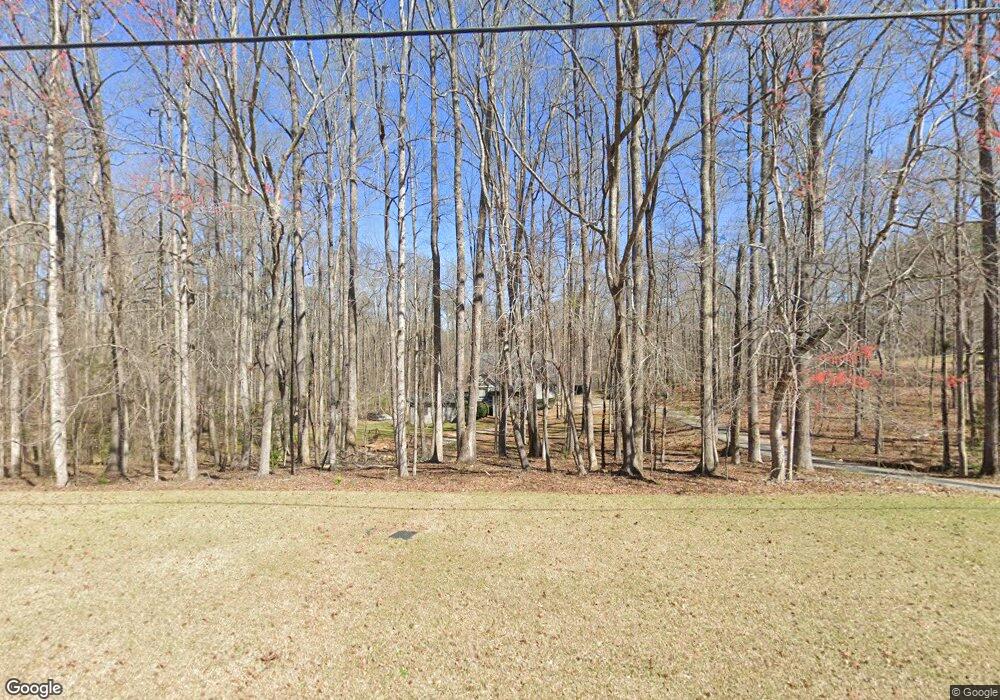
151 Mountain Laurel Dr McDonough, GA 30252
Estimated Value: $392,000 - $476,000
3
Beds
2
Baths
3,433
Sq Ft
$130/Sq Ft
Est. Value
About This Home
This home is located at 151 Mountain Laurel Dr, McDonough, GA 30252 and is currently estimated at $445,408, approximately $129 per square foot. 151 Mountain Laurel Dr is a home located in Henry County with nearby schools including Timber Ridge Elementary School, Union Grove Middle School, and Union Grove High School.
Ownership History
Date
Name
Owned For
Owner Type
Purchase Details
Closed on
Sep 1, 2004
Sold by
Bemis Gerald A and Bemis Cynthia
Bought by
Stephens Ryan N
Current Estimated Value
Home Financials for this Owner
Home Financials are based on the most recent Mortgage that was taken out on this home.
Original Mortgage
$160,000
Interest Rate
5.75%
Mortgage Type
New Conventional
Purchase Details
Closed on
Oct 24, 2001
Sold by
Bemis Gerald A and Bemis Cynthia A
Bought by
Bemis Gerald A and Bemis Cynthia
Home Financials for this Owner
Home Financials are based on the most recent Mortgage that was taken out on this home.
Original Mortgage
$150,000
Interest Rate
6.74%
Mortgage Type
New Conventional
Create a Home Valuation Report for This Property
The Home Valuation Report is an in-depth analysis detailing your home's value as well as a comparison with similar homes in the area
Home Values in the Area
Average Home Value in this Area
Purchase History
| Date | Buyer | Sale Price | Title Company |
|---|---|---|---|
| Stephens Ryan N | $242,000 | -- | |
| Bemis Gerald A | -- | -- |
Source: Public Records
Mortgage History
| Date | Status | Borrower | Loan Amount |
|---|---|---|---|
| Closed | Stephens Ryan N | $160,000 | |
| Previous Owner | Bemis Gerald A | $150,000 |
Source: Public Records
Tax History Compared to Growth
Tax History
| Year | Tax Paid | Tax Assessment Tax Assessment Total Assessment is a certain percentage of the fair market value that is determined by local assessors to be the total taxable value of land and additions on the property. | Land | Improvement |
|---|---|---|---|---|
| 2025 | $5,102 | $166,880 | $20,880 | $146,000 |
| 2024 | $5,102 | $153,800 | $19,040 | $134,760 |
| 2023 | $4,613 | $149,080 | $18,400 | $130,680 |
| 2022 | $4,929 | $141,840 | $17,160 | $124,680 |
| 2021 | $4,442 | $123,280 | $15,080 | $108,200 |
| 2020 | $4,180 | $115,000 | $14,320 | $100,680 |
| 2019 | $3,964 | $109,360 | $13,680 | $95,680 |
| 2018 | $3,752 | $103,840 | $13,160 | $90,680 |
| 2016 | $3,263 | $91,080 | $11,800 | $79,280 |
| 2015 | $3,033 | $82,960 | $11,400 | $71,560 |
| 2014 | $2,894 | $78,680 | $21,960 | $56,720 |
Source: Public Records
Map
Nearby Homes
- 2194 Highway 20 E
- 2175 Highway 20 E
- 322 Delta Dr
- 308 Delta Dr
- Meridian II Plan at Trinity Park
- Clarity Plan at Trinity Park
- Rainier Plan at Trinity Park
- Stonefield Plan at Trinity Park
- Isabella II Plan at Trinity Park
- McKinley II Plan at Trinity Park
- Rosemary II Plan at Trinity Park
- 628 Continental Dr
- 504 Dulles Dr
- 515 Dulles Dr
- 420 Hartsfield Rd
- 604 Continental Dr
- 141 Frontier Way
- 1202 Persimmon Way
- 381 Country Lake Dr
- 745 Country Lake Ct
- 161 Mountain Laurel Dr
- 131 Mountain Laurel Dr
- 311 Mountain Laurel Rd
- 160 Mountain Laurel Dr
- 301 Mountain Laurel Rd
- 121 Mountain Laurel Dr
- 170 Mountain Laurel Dr
- 321 Mountain Brook Ct
- 111 Mountain Laurel Dr
- 300 Mountain Laurel Rd
- 2010 Georgia 20
- 331 Mountain Brook Ct
- 0 Mountain Brook Ct Unit 53,54 7555789
- 0 Mountain Brook Ct Unit 14 8104046
- 1002 Laurel Ridge Dr
- 2174 Highway 20 E
- 2174 E Hwy 20 Conyers Rd
- 101 Mountain Laurel Dr
- 340 Mountain Brook Ct Unit 15
- 340 Mountain Brook Ct