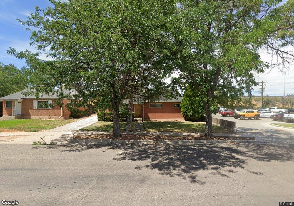
151 N 1225 W Cedar City, UT 84720
Estimated Value: $256,000 - $359,000
3
Beds
1
Bath
1,053
Sq Ft
$287/Sq Ft
Est. Value
About This Home
This home is located at 151 N 1225 W, Cedar City, UT 84720 and is currently estimated at $302,597, approximately $287 per square foot. 151 N 1225 W is a home located in Iron County with nearby schools including Cedar North School, Cedar Middle School, and Cedar City High School.
Ownership History
Date
Name
Owned For
Owner Type
Purchase Details
Closed on
Jul 22, 2025
Sold by
Sps Holdings Llc
Bought by
Olson Elizabeth Anne
Current Estimated Value
Home Financials for this Owner
Home Financials are based on the most recent Mortgage that was taken out on this home.
Original Mortgage
$196,500
Outstanding Balance
$196,167
Interest Rate
6.85%
Mortgage Type
New Conventional
Estimated Equity
$106,430
Purchase Details
Closed on
May 6, 2019
Sold by
Snow Scott J and Snow Pamela R
Bought by
Sps Holdings Llc
Purchase Details
Closed on
Apr 13, 2012
Sold by
Snow Harold Stafford and Snow Roene Turner
Bought by
Snow Scott Joseph and Snow Pamela Richan
Create a Home Valuation Report for This Property
The Home Valuation Report is an in-depth analysis detailing your home's value as well as a comparison with similar homes in the area
Home Values in the Area
Average Home Value in this Area
Purchase History
| Date | Buyer | Sale Price | Title Company |
|---|---|---|---|
| Olson Elizabeth Anne | -- | Southern Utah Title Company | |
| Sps Holdings Llc | -- | None Available | |
| Snow Scott Joseph | -- | Southern Utah Title |
Source: Public Records
Mortgage History
| Date | Status | Borrower | Loan Amount |
|---|---|---|---|
| Open | Olson Elizabeth Anne | $196,500 |
Source: Public Records
Tax History Compared to Growth
Tax History
| Year | Tax Paid | Tax Assessment Tax Assessment Total Assessment is a certain percentage of the fair market value that is determined by local assessors to be the total taxable value of land and additions on the property. | Land | Improvement |
|---|---|---|---|---|
| 2025 | $1,134 | $145,752 | $46,480 | $99,272 |
| 2023 | $1,125 | $140,005 | $38,735 | $101,270 |
| 2022 | $1,143 | $124,335 | $32,275 | $92,060 |
| 2021 | $838 | $91,210 | $15,370 | $75,840 |
| 2020 | $779 | $75,110 | $15,370 | $59,740 |
| 2019 | $756 | $69,780 | $15,370 | $54,410 |
| 2018 | $782 | $69,780 | $15,370 | $54,410 |
| 2017 | $679 | $59,700 | $13,385 | $46,315 |
| 2016 | $628 | $51,360 | $12,760 | $38,600 |
| 2015 | $621 | $48,160 | $0 | $0 |
| 2014 | $560 | $40,625 | $0 | $0 |
Source: Public Records
Map
Nearby Homes
- 240 N 1400 W
- 1225 W Harding Ave Unit 8
- 0 1 Af Water (Wr # 73-999) Unit 25-265506
- 272 N 1500 W
- 1652 W Harding Ave
- 325 N 1500 W
- 119 N 800 W Unit Building A
- 119 & 141 N 800 W Unit B
- 1770 W Harding Ave
- 364 N 1500 W
- 374 N 1500 W
- 6333 N 1600 W
- 53 N Aime Ave
- 1120 Bulloch Cir
- 4961 N 900 W Unit lot 68
- 101 N 1850 W Unit 35
- 1.75 Acres 200 North Corner Lot Unit Zoned Commercial
- 465 N 800 W Unit 3
- 465 N 800 W Unit 7
- 465 N 800 W Unit 2