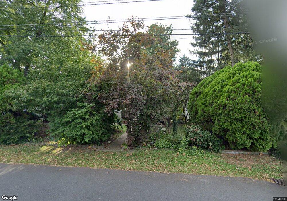
151 Neshaminy Rd Croydon, PA 19021
Estimated Value: $355,000 - $403,983
3
Beds
3
Baths
1,344
Sq Ft
$278/Sq Ft
Est. Value
About This Home
This home is located at 151 Neshaminy Rd, Croydon, PA 19021 and is currently estimated at $373,246, approximately $277 per square foot. 151 Neshaminy Rd is a home located in Bucks County with nearby schools including Truman Senior High School, School Lane Charter School, and St Charles Borromeo School.
Ownership History
Date
Name
Owned For
Owner Type
Purchase Details
Closed on
Jun 6, 2005
Sold by
Kazmierski Marcia
Bought by
Hession Joseph T
Current Estimated Value
Home Financials for this Owner
Home Financials are based on the most recent Mortgage that was taken out on this home.
Original Mortgage
$223,250
Outstanding Balance
$116,700
Interest Rate
5.78%
Mortgage Type
Fannie Mae Freddie Mac
Estimated Equity
$256,546
Purchase Details
Closed on
Oct 27, 2000
Sold by
Emery Karen L
Bought by
Kazmierski Henry and Kazmierski Marcia
Home Financials for this Owner
Home Financials are based on the most recent Mortgage that was taken out on this home.
Original Mortgage
$119,200
Interest Rate
7.81%
Purchase Details
Closed on
Oct 30, 1995
Sold by
Miller Thomas O and Miller Katherine A
Bought by
Slack Louis and Emery Karen L
Create a Home Valuation Report for This Property
The Home Valuation Report is an in-depth analysis detailing your home's value as well as a comparison with similar homes in the area
Home Values in the Area
Average Home Value in this Area
Purchase History
| Date | Buyer | Sale Price | Title Company |
|---|---|---|---|
| Hession Joseph T | $235,000 | Commonwealth Title | |
| Kazmierski Henry | $149,000 | -- | |
| Slack Louis | $100,000 | Penn Title Insurance Co |
Source: Public Records
Mortgage History
| Date | Status | Borrower | Loan Amount |
|---|---|---|---|
| Open | Hession Joseph T | $223,250 | |
| Previous Owner | Kazmierski Henry | $119,200 |
Source: Public Records
Tax History
| Year | Tax Paid | Tax Assessment Tax Assessment Total Assessment is a certain percentage of the fair market value that is determined by local assessors to be the total taxable value of land and additions on the property. | Land | Improvement |
|---|---|---|---|---|
| 2025 | $4,454 | $16,400 | $5,600 | $10,800 |
| 2024 | $4,454 | $16,400 | $5,600 | $10,800 |
| 2023 | $4,421 | $16,400 | $5,600 | $10,800 |
| 2022 | $4,421 | $16,400 | $5,600 | $10,800 |
| 2021 | $4,421 | $16,400 | $5,600 | $10,800 |
| 2020 | $4,421 | $16,400 | $5,600 | $10,800 |
| 2019 | $4,405 | $16,400 | $5,600 | $10,800 |
| 2018 | $4,334 | $16,400 | $5,600 | $10,800 |
| 2017 | $4,268 | $16,400 | $5,600 | $10,800 |
| 2016 | $4,268 | $16,400 | $5,600 | $10,800 |
| 2015 | $3,310 | $16,400 | $5,600 | $10,800 |
| 2014 | $3,310 | $16,400 | $5,600 | $10,800 |
Source: Public Records
Map
Nearby Homes
- 208 Neshaminy Rd
- 311 Neshaminy Rd
- 0 Neshaminy St Unit PABU2089046
- 1051 Maple Ave
- 535 Princess Ave
- 4517 E Yates Rd
- 0 Allen Ave
- 910 Magnolia Ave
- 601 Fourth Ave
- 4387 Bensalem Blvd
- 1000 Stephen Ave
- 3933 Wrexham Ct
- 1004 Weybridge Ct
- 619 First Ave
- 618 Cedar Ave
- 716 Rosa Ave
- 813 Fifth Ave
- 200 Janet Ave
- 730 Excelsior Ave
- 811 Washington Ave
- 153 Neshaminy Rd
- 139 Neshaminy Rd
- 203 Neshaminy Rd
- 205 Neshaminy Rd
- 148 Neshaminy Rd
- 304 Charles Ave
- 140 Neshaminy Rd
- 209 Neshaminy Rd
- 136 Neshaminy Rd
- 202 Neshaminy Rd
- 215 Neshaminy Rd
- 132 Neshaminy Rd
- 147 Clover Ave
- 151 Clover Ave
- 155 Clover Ave
- 212 Neshaminy Rd
- 219 Neshaminy Rd
- 141 Clover Ave
- 122 Neshaminy Rd
- 201 Clover Ave
Your Personal Tour Guide
Ask me questions while you tour the home.