151 Old Wharf Ln Queenstown, MD 21658
Estimated Value: $1,135,000 - $1,708,308
--
Bed
3
Baths
2,972
Sq Ft
$465/Sq Ft
Est. Value
About This Home
This home is located at 151 Old Wharf Ln, Queenstown, MD 21658 and is currently estimated at $1,381,103, approximately $464 per square foot. 151 Old Wharf Ln is a home located in Queen Anne's County with nearby schools including Kennard Elementary School, Centreville Middle School, and Queen Anne's County High School.
Ownership History
Date
Name
Owned For
Owner Type
Purchase Details
Closed on
Oct 18, 2023
Sold by
Borenstein Yaakov and Borenstein Linda
Bought by
Yaakov And Linda Borenstein Joint Revocable T and Borenstein
Current Estimated Value
Purchase Details
Closed on
Nov 4, 1992
Sold by
Murrey James M and Murrey Vallie A
Bought by
Borenstein Yaakov and Borenstein Linda
Home Financials for this Owner
Home Financials are based on the most recent Mortgage that was taken out on this home.
Original Mortgage
$458,500
Interest Rate
8.21%
Purchase Details
Closed on
Oct 27, 1988
Sold by
Downey Joseph S and Downey Mildred M
Bought by
Murrey James M and Murrey Vallie A
Home Financials for this Owner
Home Financials are based on the most recent Mortgage that was taken out on this home.
Original Mortgage
$220,000
Interest Rate
10.28%
Create a Home Valuation Report for This Property
The Home Valuation Report is an in-depth analysis detailing your home's value as well as a comparison with similar homes in the area
Home Values in the Area
Average Home Value in this Area
Purchase History
| Date | Buyer | Sale Price | Title Company |
|---|---|---|---|
| Yaakov And Linda Borenstein Joint Revocable T | -- | None Listed On Document | |
| Yaakov And Linda Borenstein Joint Revocable T | -- | None Listed On Document | |
| Borenstein Yaakov | $655,000 | -- | |
| Murrey James M | $245,000 | -- |
Source: Public Records
Mortgage History
| Date | Status | Borrower | Loan Amount |
|---|---|---|---|
| Previous Owner | Borenstein Yaakov | $458,500 | |
| Previous Owner | Murrey James M | $220,000 |
Source: Public Records
Tax History Compared to Growth
Tax History
| Year | Tax Paid | Tax Assessment Tax Assessment Total Assessment is a certain percentage of the fair market value that is determined by local assessors to be the total taxable value of land and additions on the property. | Land | Improvement |
|---|---|---|---|---|
| 2025 | $12,619 | $1,075,600 | $0 | $0 |
| 2024 | $11,509 | $981,000 | $413,700 | $567,300 |
| 2023 | $11,419 | $973,300 | $0 | $0 |
| 2022 | $11,237 | $965,600 | $0 | $0 |
| 2021 | $11,128 | $957,900 | $413,700 | $544,200 |
| 2020 | $10,976 | $957,900 | $413,700 | $544,200 |
| 2019 | $10,858 | $957,900 | $413,700 | $544,200 |
| 2018 | $11,255 | $994,500 | $413,700 | $580,800 |
| 2017 | $11,288 | $993,300 | $0 | $0 |
| 2016 | -- | $992,100 | $0 | $0 |
| 2015 | $12,388 | $990,900 | $0 | $0 |
| 2014 | $12,388 | $990,900 | $0 | $0 |
Source: Public Records
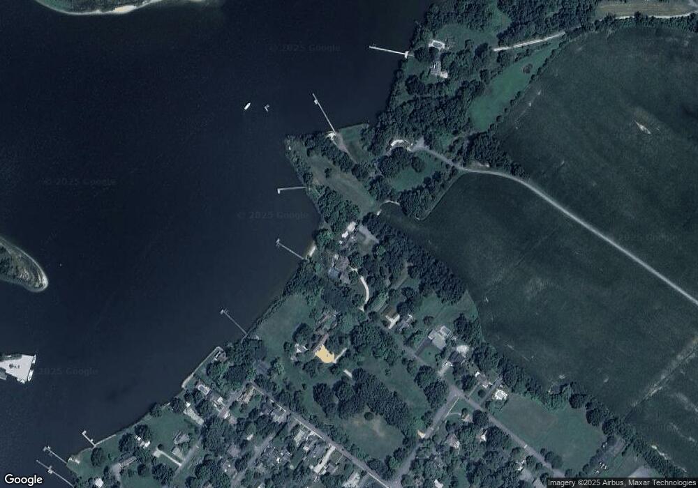
Map
Nearby Homes
- 108 Wall St
- 6915 Main St
- 100 Wall St
- 7204 Main St
- 128 Aker Rd
- 0 U S 301
- 248 Harbor Ln
- 108 Carriage Ln
- 315 Nottingham Ln
- 103 Trevors Ct
- 213 Slippery Hill Ln
- 915 Sportsman Neck Rd
- 0 Hess Frontage Rd
- 149 Unit 141155 SAWMILL Lane
- 201 Sawmill Ln
- 141 Sawmill Ln
- 227 Homeport Dr
- 105 Port Ct
- 149 Sawmill Ln
- 155 Sawmill Ln
- 220 Old Wharf Ln
- 210 Old Wharf Ln
- 410 Loverlee Ln
- 111 Bowlingly Cir
- 204 Old Wharf Ln
- 202 Old Wharf Ln
- 7133 First Ave
- 130 Old Wharf Ln
- 400 Salthouse Cove Ln
- 231 Steamboat Ave
- 309 Steamboat Ave
- 305 Steamboat Ave
- 223 Steamboat Ave
- 303 Steamboat Ave
- 7127 First Ave
- 217 Steamboat Ave
- 7120S Second Ave
- 219 Steamboat Ave
- 7120 Second Ave
- 215 Steamboat Ave