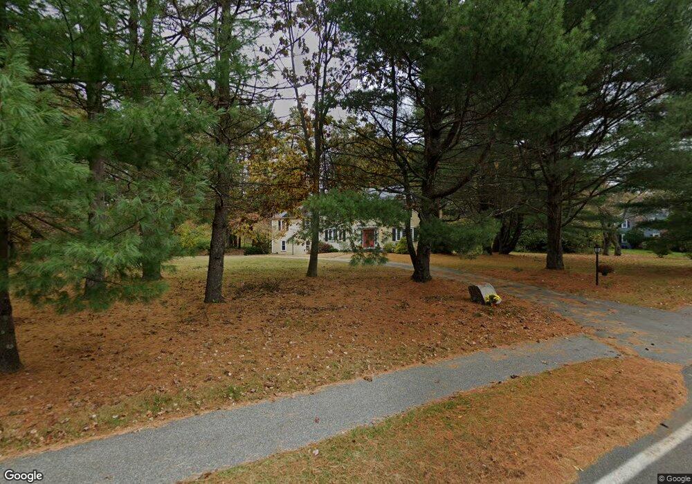
151 Peakham Rd Sudbury, MA 01776
Estimated Value: $1,183,012 - $1,319,000
4
Beds
3
Baths
2,809
Sq Ft
$436/Sq Ft
Est. Value
About This Home
This home is located at 151 Peakham Rd, Sudbury, MA 01776 and is currently estimated at $1,223,503, approximately $435 per square foot. 151 Peakham Rd is a home located in Middlesex County with nearby schools including Israel Loring Elementary School, Ephraim Curtis Middle School, and Lincoln-Sudbury Regional High School.
Ownership History
Date
Name
Owned For
Owner Type
Purchase Details
Closed on
Apr 2, 2007
Sold by
Marshall Jill Ellen
Bought by
Barrett Christine A and Barrett Sean W
Current Estimated Value
Home Financials for this Owner
Home Financials are based on the most recent Mortgage that was taken out on this home.
Original Mortgage
$417,000
Outstanding Balance
$254,616
Interest Rate
6.33%
Mortgage Type
Purchase Money Mortgage
Estimated Equity
$968,887
Create a Home Valuation Report for This Property
The Home Valuation Report is an in-depth analysis detailing your home's value as well as a comparison with similar homes in the area
Home Values in the Area
Average Home Value in this Area
Purchase History
| Date | Buyer | Sale Price | Title Company |
|---|---|---|---|
| Barrett Christine A | $635,000 | -- |
Source: Public Records
Mortgage History
| Date | Status | Borrower | Loan Amount |
|---|---|---|---|
| Open | Barrett Christine A | $417,000 |
Source: Public Records
Tax History Compared to Growth
Tax History
| Year | Tax Paid | Tax Assessment Tax Assessment Total Assessment is a certain percentage of the fair market value that is determined by local assessors to be the total taxable value of land and additions on the property. | Land | Improvement |
|---|---|---|---|---|
| 2025 | $16,370 | $1,118,200 | $470,800 | $647,400 |
| 2024 | $15,761 | $1,078,800 | $457,200 | $621,600 |
| 2023 | $14,896 | $944,600 | $424,000 | $520,600 |
| 2022 | $14,639 | $811,000 | $389,600 | $421,400 |
| 2021 | $13,998 | $743,400 | $389,600 | $353,800 |
| 2020 | $13,716 | $743,400 | $389,600 | $353,800 |
| 2019 | $13,314 | $743,400 | $389,600 | $353,800 |
| 2018 | $13,137 | $732,700 | $409,600 | $323,100 |
| 2017 | $12,858 | $724,800 | $404,800 | $320,000 |
| 2016 | $12,467 | $700,400 | $389,600 | $310,800 |
| 2015 | $11,959 | $679,500 | $374,800 | $304,700 |
| 2014 | $11,945 | $662,500 | $364,000 | $298,500 |
Source: Public Records
Map
Nearby Homes
- 143 Peakham Rd
- 54 Stone Rd
- 30 Rolling Ln
- 12 Hickory Rd
- 0 Boston Post Rd
- 0 Robbins Rd
- 7 Saddle Ridge Rd
- 25 Bridle Path
- 123 Dutton Rd
- 21 Summer St
- 89 Bridle Path
- 7 Adams Rd
- 24 Woodland Rd
- 128 Nobscot Rd
- 1011 Boston Post Rd
- 30 Nobscot Rd Unit 14
- 270 Old Lancaster Rd
- 100 Nobscot Dr
- 6 Mountain View Dr
- 32 Eaton Rd W
- 20 Robert Best Rd
- 161 Peakham Rd
- 11 Robert Best Rd
- 132 Bent Rd
- 17 Robert Best Rd
- 131 Bent Rd
- 173 Peakham Rd
- 144 Peakham Rd
- 172 Peakham Rd
- 116 Bent Rd
- 7 Hayden Cir
- 25 Robert Best Rd
- 34 Robert Best Rd
- 185 Peakham Rd
- 138 Peakham Rd
- 36 Robert Best Rd
- 132 Peakham Rd
- 135 Peakham Rd
- 5 Curtis Cir
- 8 Hayden Cir