151 Pine St Forsyth, MO 65653
Estimated Value: $121,000 - $228,000
Studio
--
Bath
840
Sq Ft
$197/Sq Ft
Est. Value
About This Home
This home is located at 151 Pine St, Forsyth, MO 65653 and is currently estimated at $165,650, approximately $197 per square foot. 151 Pine St is a home located in Taney County with nearby schools including Forsyth Elementary School, Forsyth Middle School, and Forsyth High School.
Ownership History
Date
Name
Owned For
Owner Type
Purchase Details
Closed on
Apr 10, 2017
Sold by
Fannie Mae
Bought by
Hubble Charles
Current Estimated Value
Purchase Details
Closed on
Sep 9, 2005
Sold by
Easley Linda Joy and Easley David G
Bought by
Campbell Mark C and Campbell Karen A
Create a Home Valuation Report for This Property
The Home Valuation Report is an in-depth analysis detailing your home's value as well as a comparison with similar homes in the area
Home Values in the Area
Average Home Value in this Area
Purchase History
| Date | Buyer | Sale Price | Title Company |
|---|---|---|---|
| Hubble Charles | -- | Continental Title | |
| Campbell Mark C | -- | -- |
Source: Public Records
Tax History
| Year | Tax Paid | Tax Assessment Tax Assessment Total Assessment is a certain percentage of the fair market value that is determined by local assessors to be the total taxable value of land and additions on the property. | Land | Improvement |
|---|---|---|---|---|
| 2025 | $225 | $4,680 | -- | -- |
| 2024 | $225 | $4,620 | -- | -- |
| 2023 | $225 | $4,620 | -- | -- |
| 2022 | $222 | $4,620 | $0 | $0 |
| 2021 | $221 | $4,620 | $0 | $0 |
| 2019 | $210 | $4,230 | $0 | $0 |
| 2018 | $209 | $4,230 | $0 | $0 |
| 2017 | $209 | $4,230 | $0 | $0 |
| 2016 | $150 | $3,050 | $0 | $0 |
| 2015 | $150 | $3,050 | $0 | $0 |
| 2014 | $148 | $2,950 | $0 | $0 |
Source: Public Records
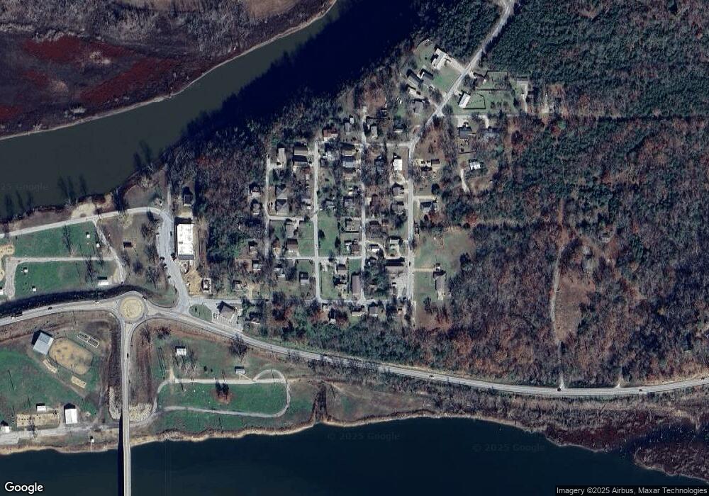
Map
Nearby Homes
- 136 Mound St
- 146 Mound St
- 170 Rainey St
- 520 Chisholm Trail
- 11675 State Highway 76
- 732 Skyline Dr
- 510 Chisholm Trail
- Tbd Rocky Ridge Ln
- 666 Baker St
- 498 Santa fe Dr
- 950 Skyline Dr
- 964 Skyline Dr
- 165 Eagle Dr
- 340 Shady Oaks Shore
- 52 Audubon Trail
- Lots 62 & 63 Eagle Dr
- 949 Wayland Dr
- 330 Boswell Rd
- 000 Maple Ridge Branch
- 16500 State Hwy 160 Hwy
Your Personal Tour Guide
Ask me questions while you tour the home.