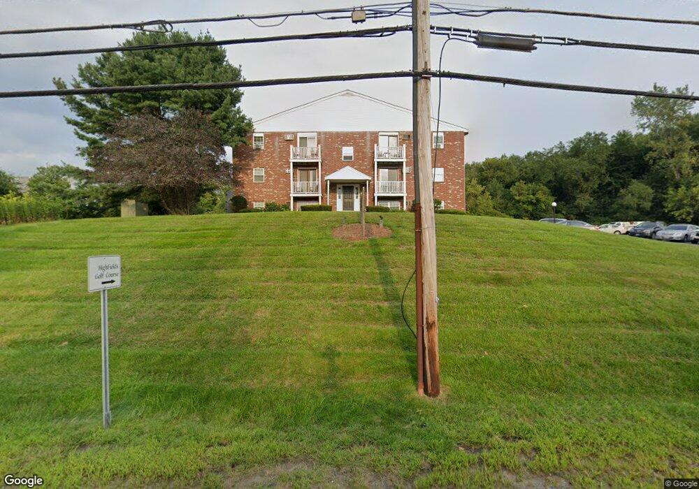
151 Providence Rd Unit P Grafton, MA 01519
Estimated Value: $226,000 - $272,000
1
Bed
1
Bath
675
Sq Ft
$367/Sq Ft
Est. Value
About This Home
This home is located at 151 Providence Rd Unit P, Grafton, MA 01519 and is currently estimated at $247,874, approximately $367 per square foot. 151 Providence Rd Unit P is a home located in Worcester County with nearby schools including Grafton High School, Silver Spruce Montessori School, and Touchstone Community School.
Ownership History
Date
Name
Owned For
Owner Type
Purchase Details
Closed on
Sep 4, 1998
Sold by
Fhlmc
Bought by
Maenzo Anthony
Current Estimated Value
Purchase Details
Closed on
Jan 20, 1998
Sold by
Gilchrest Lynn I and Fleet Mtg Corp
Bought by
Fhlmc
Purchase Details
Closed on
Aug 20, 1987
Sold by
Moran A Gary
Bought by
Gilchrest Lynn I
Home Financials for this Owner
Home Financials are based on the most recent Mortgage that was taken out on this home.
Original Mortgage
$68,000
Interest Rate
10.29%
Mortgage Type
Purchase Money Mortgage
Create a Home Valuation Report for This Property
The Home Valuation Report is an in-depth analysis detailing your home's value as well as a comparison with similar homes in the area
Home Values in the Area
Average Home Value in this Area
Purchase History
| Date | Buyer | Sale Price | Title Company |
|---|---|---|---|
| Maenzo Anthony | $33,000 | -- | |
| Fhlmc | $40,500 | -- | |
| Gilchrest Lynn I | $76,000 | -- |
Source: Public Records
Mortgage History
| Date | Status | Borrower | Loan Amount |
|---|---|---|---|
| Previous Owner | Gilchrest Lynn I | $68,000 |
Source: Public Records
Tax History Compared to Growth
Tax History
| Year | Tax Paid | Tax Assessment Tax Assessment Total Assessment is a certain percentage of the fair market value that is determined by local assessors to be the total taxable value of land and additions on the property. | Land | Improvement |
|---|---|---|---|---|
| 2025 | $2,777 | $199,200 | $0 | $199,200 |
| 2024 | $2,713 | $189,600 | $0 | $189,600 |
| 2023 | $2,105 | $134,000 | $0 | $134,000 |
| 2022 | $2,048 | $121,300 | $0 | $121,300 |
| 2021 | $2,072 | $120,600 | $0 | $120,600 |
| 2020 | $1,848 | $112,000 | $0 | $112,000 |
| 2019 | $1,518 | $91,100 | $0 | $91,100 |
| 2018 | $1,324 | $79,800 | $0 | $79,800 |
| 2017 | $1,299 | $79,200 | $0 | $79,200 |
| 2016 | $1,022 | $61,000 | $0 | $61,000 |
| 2015 | $982 | $59,500 | $0 | $59,500 |
| 2014 | $908 | $59,500 | $0 | $59,500 |
Source: Public Records
Map
Nearby Homes
- 151 Providence Rd Unit 24
- 151 Providence Rd Unit 15
- 54 Elliot Trail
- 13 Pullard Rd Unit 38
- 18 Pullard Rd
- 42 Gordon Cir Unit 42
- 7 Pleasant St
- 24 Coventry Rd
- 30 Nottingham Rd
- 36 South St
- 49 South St
- 3 Millbury St
- 18 Barbara Jean St
- 43 Barbara Jean St
- 81 Millbury St
- 8 Danielle Dr
- 55 Upton St
- 144 Pleasant St
- 8 Hudson Ave
- 49 Brigham Hill Rd
- 151 Providence Rd Unit 7 (G)
- 151 Providence Rd Unit 7 (K)
- 151 Providence Rd Unit 18
- 151 Providence Rd Unit X
- 151 Providence Rd Unit W
- 151 Providence Rd Unit V
- 151 Providence Rd Unit U
- 151 Providence Rd Unit T
- 151 Providence Rd Unit S
- 151 Providence Rd Unit R
- 151 Providence Rd Unit Q
- 151 Providence Rd Unit O
- 151 Providence Rd Unit N
- 151 Providence Rd Unit M
- 151 Providence Rd Unit L
- 151 Providence Rd Unit K
- 151 Providence Rd Unit J
- 151 Providence Rd Unit I
- 151 Providence Rd Unit H
- 151 Providence Rd Unit G