151 Rawson Ridge Grantham, NH 03753
Estimated Value: $583,000 - $737,483
About This Home
This home is located at 151 Rawson Ridge, Grantham, NH 03753 and is currently estimated at $650,121, approximately $320 per square foot. 151 Rawson Ridge is a home with nearby schools including Grantham Village School and Lebanon High School.
Ownership History
We collect this data history from publicly available records. To have your information removed, we recommend requesting removal directly through your county’s website.
Purchase Details
Purchase Details
Home Values in the Area
Average Home Value in this Area
Purchase History
We collect this data history from publicly available records. To have your information removed, we recommend requesting removal directly through your county’s website.
| Date | Buyer | Sale Price | Title Company |
|---|---|---|---|
| $100,000 | -- | ||
| $100,000 | -- | ||
| $100,000 | -- | ||
| $28,000 | -- | ||
| $28,000 | -- |
Tax History
We collect this data history from publicly available records. To have your information removed, we recommend requesting removal directly through your county’s website.
| Year | Tax Paid | Tax Assessment Tax Assessment Total Assessment is a certain percentage of the fair market value that is determined by local assessors to be the total taxable value of land and additions on the property. | Land | Improvement |
|---|---|---|---|---|
| 2025 | $11,729 | $530,000 | $85,200 | $444,800 |
| 2024 | $10,421 | $531,400 | $85,200 | $446,200 |
| 2023 | $9,205 | $523,300 | $85,200 | $438,100 |
| 2022 | $1,401 | $85,200 | $85,200 | $0 |
| 2021 | $2,058 | $89,800 | $89,800 | $0 |
| 2020 | $0 | $89,800 | $89,800 | $0 |
| 2019 | $0 | $87,300 | $87,300 | $0 |
| 2018 | $0 | $87,300 | $87,300 | $0 |
| 2017 | $0 | $87,300 | $87,300 | $0 |
| 2016 | -- | $87,300 | $87,300 | $0 |
| 2015 | -- | $87,300 | $87,300 | $0 |
| 2014 | -- | $73,500 | $73,500 | $0 |
| 2013 | -- | $73,500 | $73,500 | $0 |
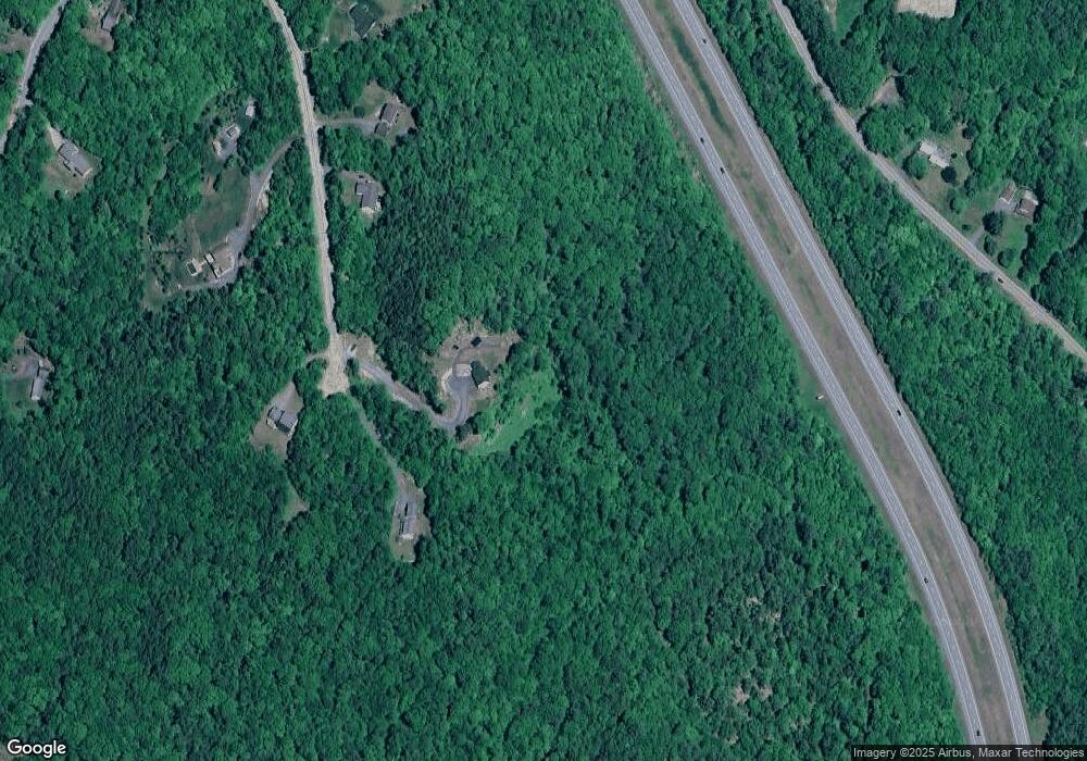
Map
- 0 Rawson Ridge Unit 6
- 0 New Aldrich Rd Unit 1
- 0 Route 10 N Unit 5058175
- 27 Spring Valley Dr
- 7 Double Diamond Dr
- 991 Route 10 N
- 14 Oak Ln
- 2 Draper Mill Rd
- 12 Fernwood Ln
- 841 Cove Dr
- 2 Turner Brae
- 8 Sandy Brae
- 820 Covered Bridge Ln
- 827 Covered Bridge Ln
- 28 Summit Dr
- 14 Bay Tree Ln
- 12 Old Spring Dr
- 224 Walker Rd
- 637 Marmot Ln
- 00 Route 10 N
- 0 Rawson Ridge
- 221/13 Rawson Ridge
- 112 Rawson Ridge
- 89 Rawson Ridge
- 00 Rawson Ridge
- 148 Rawson Ridge
- 101 Rawson Ridge
- 129 New Aldrich Rd
- 169 Rawson Ridge
- 115 New Aldrich Rd
- 187 New Aldrich Rd
- 57 New Aldrich Rd
- 69 New Aldrich Rd
- TBD Rawson Ridge
- 90 New Aldrich Rd
- 247 New Aldrich Rd
- 6 New Aldrich Rd
- 178 New Aldrich Rd
- 52 New Aldrich Rd
- 122 New Aldrich Rd
Ask me questions while you tour the home.