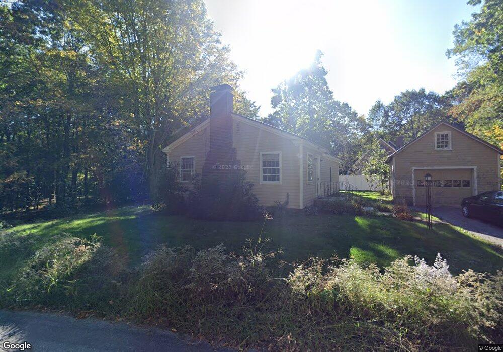
151 Ridge Rd Unit 1 Rutland, MA 01543
Estimated Value: $219,000 - $371,000
1
Bed
1
Bath
816
Sq Ft
$383/Sq Ft
Est. Value
About This Home
This home is located at 151 Ridge Rd Unit 1, Rutland, MA 01543 and is currently estimated at $312,488, approximately $382 per square foot. 151 Ridge Rd Unit 1 is a home located in Worcester County with nearby schools including Wachusett Regional High School.
Ownership History
Date
Name
Owned For
Owner Type
Purchase Details
Closed on
Dec 21, 2021
Sold by
Kane Alexandra
Bought by
Phelps Jason and Bullock Audrey
Current Estimated Value
Home Financials for this Owner
Home Financials are based on the most recent Mortgage that was taken out on this home.
Original Mortgage
$170,000
Outstanding Balance
$155,668
Interest Rate
3.09%
Mortgage Type
Purchase Money Mortgage
Estimated Equity
$156,820
Purchase Details
Closed on
Jun 1, 2020
Sold by
Westerlund Nils K and Thompson Amy C
Bought by
Kane Alexandra J
Home Financials for this Owner
Home Financials are based on the most recent Mortgage that was taken out on this home.
Original Mortgage
$97,425
Interest Rate
3.2%
Mortgage Type
New Conventional
Create a Home Valuation Report for This Property
The Home Valuation Report is an in-depth analysis detailing your home's value as well as a comparison with similar homes in the area
Home Values in the Area
Average Home Value in this Area
Purchase History
| Date | Buyer | Sale Price | Title Company |
|---|---|---|---|
| Phelps Jason | $200,000 | None Available | |
| Kane Alexandra J | $129,900 | None Available |
Source: Public Records
Mortgage History
| Date | Status | Borrower | Loan Amount |
|---|---|---|---|
| Open | Phelps Jason | $170,000 | |
| Previous Owner | Kane Alexandra J | $97,425 |
Source: Public Records
Tax History Compared to Growth
Tax History
| Year | Tax Paid | Tax Assessment Tax Assessment Total Assessment is a certain percentage of the fair market value that is determined by local assessors to be the total taxable value of land and additions on the property. | Land | Improvement |
|---|---|---|---|---|
| 2025 | $4,026 | $282,700 | $97,400 | $185,300 |
| 2024 | $3,598 | $242,600 | $93,500 | $149,100 |
| 2023 | $3,216 | $234,400 | $88,200 | $146,200 |
| 2022 | $3,221 | $204,000 | $74,500 | $129,500 |
| 2021 | $3,110 | $186,200 | $74,500 | $111,700 |
| 2020 | $3,135 | $178,000 | $70,700 | $107,300 |
| 2019 | $3,036 | $169,700 | $67,300 | $102,400 |
| 2018 | $3,017 | $166,400 | $67,300 | $99,100 |
| 2017 | $2,977 | $162,500 | $67,300 | $95,200 |
| 2016 | $2,682 | $154,400 | $64,000 | $90,400 |
| 2015 | $2,552 | $144,600 | $64,000 | $80,600 |
| 2014 | $2,474 | $144,600 | $64,000 | $80,600 |
Source: Public Records
Map
Nearby Homes
- 271 Glenwood Rd
- 81 Glenwood Place
- 175 Glenwood Rd
- 147 E County Rd Unit 149
- 139 E County Rd Unit 139
- 101 Brintnal Dr
- 166 Ball Hill Rd
- 73 Brintnal Dr
- 35 Brintnal Dr
- 2 Simon Davis Dr
- 56 Hubbardston Rd
- 25 Watson Ln
- 15 Stagecoach Rd
- 16 Richards Ave
- 9 Stagecoach Rd
- 40 Brunelle Dr
- 55 Pommogussett Rd
- 81 Central Tree Rd
- 32 Pommogussett Rd Unit 1
- 10 Beechwood Dr