Estimated Value: $163,000 - $236,000
3
Beds
2
Baths
1,410
Sq Ft
$151/Sq Ft
Est. Value
About This Home
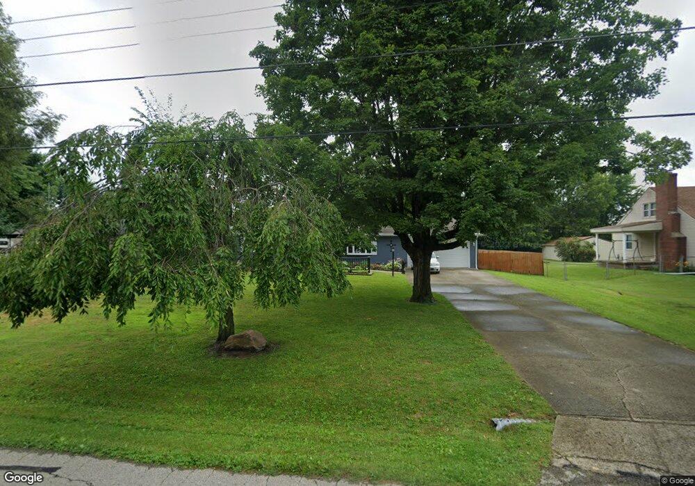
This home is located at 151 Robert Ln, Xenia, OH 45385 and is currently estimated at $213,398, approximately $151 per square foot. 151 Robert Ln is a home located in Greene County with nearby schools including Xenia High School, Summit Academy Community School for Alternative Learners - Xenia, and Legacy Christian Academy.
Ownership History
Date
Name
Owned For
Owner Type
Purchase Details
Closed on
Apr 10, 2015
Sold by
Ryder Peter M
Bought by
Liming Donald W and Liming Peggy
Current Estimated Value
Home Financials for this Owner
Home Financials are based on the most recent Mortgage that was taken out on this home.
Original Mortgage
$102,080
Outstanding Balance
$77,179
Interest Rate
3.73%
Mortgage Type
VA
Estimated Equity
$136,219
Purchase Details
Closed on
Sep 4, 2008
Sold by
King Moana J and Stevens Kendra P
Bought by
Ryder Properties Llc
Purchase Details
Closed on
Sep 25, 2007
Sold by
Estate Of Paul Kendall Stevens
Bought by
King Moana J and Stevens Kendra P
Purchase Details
Closed on
May 11, 2007
Sold by
Estate Of Sara Jane Stevens
Bought by
Stevens Paul Kendall
Create a Home Valuation Report for This Property
The Home Valuation Report is an in-depth analysis detailing your home's value as well as a comparison with similar homes in the area
Home Values in the Area
Average Home Value in this Area
Purchase History
| Date | Buyer | Sale Price | Title Company |
|---|---|---|---|
| Liming Donald W | $100,300 | None Available | |
| Ryder Properties Llc | $86,000 | None Available | |
| King Moana J | -- | Attorney | |
| Stevens Paul Kendall | -- | Attorney |
Source: Public Records
Mortgage History
| Date | Status | Borrower | Loan Amount |
|---|---|---|---|
| Open | Liming Donald W | $102,080 |
Source: Public Records
Tax History
| Year | Tax Paid | Tax Assessment Tax Assessment Total Assessment is a certain percentage of the fair market value that is determined by local assessors to be the total taxable value of land and additions on the property. | Land | Improvement |
|---|---|---|---|---|
| 2025 | $2,642 | $65,370 | $11,220 | $54,150 |
| 2024 | $2,642 | $65,370 | $11,220 | $54,150 |
| 2023 | $2,635 | $65,370 | $11,220 | $54,150 |
| 2022 | $2,285 | $52,460 | $10,590 | $41,870 |
| 2021 | $2,314 | $52,460 | $10,590 | $41,870 |
| 2020 | $2,221 | $52,460 | $10,590 | $41,870 |
| 2019 | $2,366 | $43,700 | $7,410 | $36,290 |
| 2018 | $2,374 | $43,700 | $7,410 | $36,290 |
| 2017 | $2,247 | $43,700 | $7,410 | $36,290 |
| 2016 | $2,248 | $40,700 | $7,410 | $33,290 |
| 2015 | $2,315 | $40,700 | $7,410 | $33,290 |
| 2014 | $1,256 | $40,700 | $7,410 | $33,290 |
Source: Public Records
Map
Nearby Homes
- 212 Robert Ln
- 1351 Omard Dr
- 1529 Bowman Dr
- 1173 Stewart Ave
- 1330 Kylemore Dr
- 1030 Stewart Ave
- 1408 W 2nd St
- 1577 W 2nd St
- 984 Emmett Dr
- 883 Omard Dr
- 779 Buckskin Trail
- 1540 Crockett Ct
- 1182 Bellbrook Ave
- 1715 Sioux Dr
- 425 Elm St
- 401 Walnut St
- 453 Walnut St
- 1790 Palmer Ct
- 1796 Palmer Ct
- 1785 Palmer Ct
Your Personal Tour Guide
Ask me questions while you tour the home.