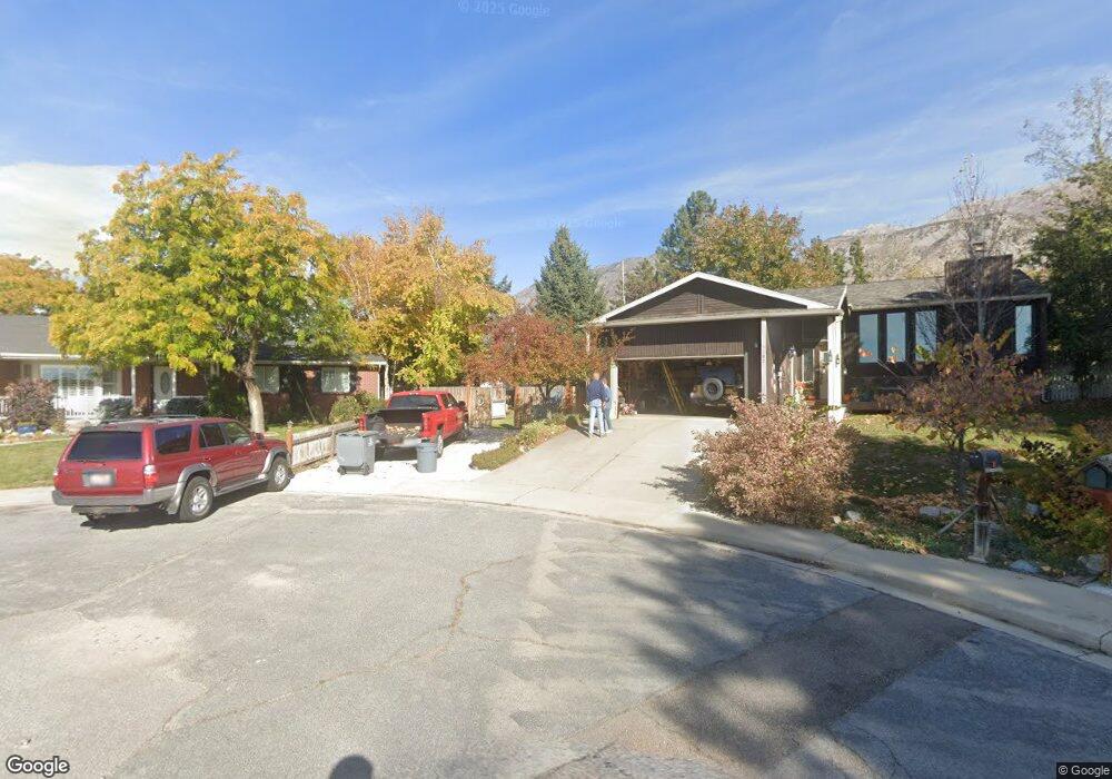
151 S Plsnt Grv Blvd Unit 6 Pleasant Grove, UT 84062
Estimated Value: $317,000 - $339,000
3
Beds
2
Baths
1,277
Sq Ft
$257/Sq Ft
Est. Value
About This Home
This home is located at 151 S Plsnt Grv Blvd Unit 6, Pleasant Grove, UT 84062 and is currently estimated at $327,706, approximately $256 per square foot. 151 S Plsnt Grv Blvd Unit 6 is a home located in Utah County with nearby schools including Mount Mahogany School, Pleasant Grove Junior High School, and Pleasant Grove High School.
Ownership History
Date
Name
Owned For
Owner Type
Purchase Details
Closed on
Apr 25, 2022
Sold by
Jeff Demke
Bought by
Peterson Mark Edmond and Linnell Nicole
Current Estimated Value
Home Financials for this Owner
Home Financials are based on the most recent Mortgage that was taken out on this home.
Original Mortgage
$351,500
Outstanding Balance
$333,005
Interest Rate
5.11%
Mortgage Type
New Conventional
Estimated Equity
-$5,299
Purchase Details
Closed on
May 18, 2021
Sold by
Demke Jeff E and White Melissa B
Bought by
Demke Jeff and Demke Melissa
Home Financials for this Owner
Home Financials are based on the most recent Mortgage that was taken out on this home.
Original Mortgage
$210,000
Interest Rate
3.1%
Mortgage Type
New Conventional
Purchase Details
Closed on
May 1, 2015
Sold by
Wrightson Kenneth and Wrightson Kenneth
Bought by
Demke Jeff E and White Melissa B
Home Financials for this Owner
Home Financials are based on the most recent Mortgage that was taken out on this home.
Original Mortgage
$137,750
Interest Rate
3.67%
Mortgage Type
New Conventional
Purchase Details
Closed on
Jun 15, 2009
Sold by
Sanders Brian and Sanders Debora
Bought by
Wrightson Kenneth and Wrightson Kenneth
Home Financials for this Owner
Home Financials are based on the most recent Mortgage that was taken out on this home.
Original Mortgage
$142,373
Interest Rate
4.83%
Mortgage Type
FHA
Purchase Details
Closed on
Apr 26, 2006
Sold by
Lind Gerald V and Lind Rebecca A
Bought by
Sanders Brian
Home Financials for this Owner
Home Financials are based on the most recent Mortgage that was taken out on this home.
Original Mortgage
$7,800
Interest Rate
6.3%
Mortgage Type
Stand Alone Second
Purchase Details
Closed on
Sep 12, 2003
Sold by
Countryside Development Lc
Bought by
Lind Gerald and Lind Rebecca A
Home Financials for this Owner
Home Financials are based on the most recent Mortgage that was taken out on this home.
Original Mortgage
$111,162
Interest Rate
6.06%
Mortgage Type
FHA
Create a Home Valuation Report for This Property
The Home Valuation Report is an in-depth analysis detailing your home's value as well as a comparison with similar homes in the area
Home Values in the Area
Average Home Value in this Area
Purchase History
| Date | Buyer | Sale Price | Title Company |
|---|---|---|---|
| Peterson Mark Edmond | -- | Rudd & Hawkes Title | |
| Demke Jeff | -- | Rudd & Hawkes Ttl Ins Agcy I | |
| Demke Jeff E | -- | Keystone Title Ins Agen | |
| Wrightson Kenneth | -- | First American Orem | |
| Sanders Brian | -- | Horizon Title Insurance | |
| Lind Gerald | -- | Mountain West Title Co |
Source: Public Records
Mortgage History
| Date | Status | Borrower | Loan Amount |
|---|---|---|---|
| Open | Peterson Mark Edmond | $351,500 | |
| Previous Owner | Demke Jeff | $210,000 | |
| Previous Owner | Demke Jeff E | $137,750 | |
| Previous Owner | Wrightson Kenneth | $142,373 | |
| Previous Owner | Sanders Brian | $7,800 | |
| Previous Owner | Sanders Brian | $133,356 | |
| Previous Owner | Lind Gerald | $111,162 |
Source: Public Records
Tax History Compared to Growth
Tax History
| Year | Tax Paid | Tax Assessment Tax Assessment Total Assessment is a certain percentage of the fair market value that is determined by local assessors to be the total taxable value of land and additions on the property. | Land | Improvement |
|---|---|---|---|---|
| 2025 | $1,419 | $172,700 | $34,900 | $279,100 |
| 2024 | $1,419 | $169,345 | $0 | $0 |
| 2023 | $1,381 | $168,740 | $0 | $0 |
| 2022 | $1,383 | $168,080 | $0 | $0 |
| 2021 | $1,214 | $224,700 | $27,000 | $197,700 |
| 2020 | $1,136 | $206,100 | $24,700 | $181,400 |
| 2019 | $999 | $187,400 | $21,800 | $165,600 |
| 2018 | $930 | $165,000 | $19,800 | $145,200 |
| 2017 | $856 | $80,850 | $0 | $0 |
| 2016 | $808 | $73,700 | $0 | $0 |
| 2015 | $853 | $73,700 | $0 | $0 |
| 2014 | $816 | $69,850 | $0 | $0 |
Source: Public Records
Map
Nearby Homes
- 165 S Pleasant Blvd Unit 45
- 1078 W 70 N
- 916 W 260 S
- 123 N Romney Ln Unit 103
- 278 S 740 W
- 289 S 1000 W Unit 203
- 317 S 1000 W Unit 104
- 1212 W Spencer Rd Unit 301
- 1249 W Cambria Dr Unit 101
- 383 S 790 W
- 1267 W 20 S
- 312 N 440 W
- 163 N Allenhurst St
- 1130 W State Rd
- 1512 W 50 N
- 1559 W 50 N
- 1542 W 110 N
- 169 W 200 S
- 1584 W 110 N
- 929 W 670 S Unit 9
- 151 S Plsnt Grv Blvd Unit 10
- 151 S Plsnt Grv Blvd Unit 9
- 151 S Plsnt Grv Blvd Unit 8
- 151 S Plsnt Grv Blvd Unit 7
- 151 S Plsnt Grv Blvd Unit 5
- 151 S Plsnt Grv Blvd Unit 4
- 151 S Plsnt Grv Blvd Unit 3
- 151 S Plsnt Grv Blvd Unit 2
- 151 S Plsnt Grv Blvd Unit 12
- 151 S Pleasant Grove Blvd Unit 10
- 151 S Pleasant Grove Blvd
- 151 S Pleasant Grove Blvd
- 151 S Pleasant Grove Blvd Unit 5
- 151 S Pleasant Grove Blvd Unit 12
- 151 S Pleasant Grove Blvd Unit 7
- 151 S Pleasant Grove Blvd Unit 2
- 151 S Pleasant Grove Blvd Unit 4
- 151 S Pleasant Grove Blvd Unit 8
- 151 S Pleasant Grove Blvd Unit 10
- 151 S Pleasant Grove Blvd Unit 11