151 Shady Rest Dr Waynesville, NC 28785
Estimated Value: $259,000 - $393,000
2
Beds
2
Baths
1,104
Sq Ft
$311/Sq Ft
Est. Value
About This Home
This home is located at 151 Shady Rest Dr, Waynesville, NC 28785 and is currently estimated at $343,815, approximately $311 per square foot. 151 Shady Rest Dr is a home located in Haywood County with nearby schools including Jonathan Valley Elementary School, Waynesville Middle, and Tuscola High.
Ownership History
Date
Name
Owned For
Owner Type
Purchase Details
Closed on
Sep 16, 2008
Sold by
Seeber Dennis
Bought by
Parker Robert M and Parker Kathy M
Current Estimated Value
Home Financials for this Owner
Home Financials are based on the most recent Mortgage that was taken out on this home.
Original Mortgage
$143,650
Outstanding Balance
$95,364
Interest Rate
6.48%
Mortgage Type
Purchase Money Mortgage
Estimated Equity
$248,451
Create a Home Valuation Report for This Property
The Home Valuation Report is an in-depth analysis detailing your home's value as well as a comparison with similar homes in the area
Home Values in the Area
Average Home Value in this Area
Purchase History
| Date | Buyer | Sale Price | Title Company |
|---|---|---|---|
| Parker Robert M | $169,000 | None Available |
Source: Public Records
Mortgage History
| Date | Status | Borrower | Loan Amount |
|---|---|---|---|
| Open | Parker Robert M | $143,650 |
Source: Public Records
Tax History Compared to Growth
Tax History
| Year | Tax Paid | Tax Assessment Tax Assessment Total Assessment is a certain percentage of the fair market value that is determined by local assessors to be the total taxable value of land and additions on the property. | Land | Improvement |
|---|---|---|---|---|
| 2025 | -- | $190,100 | $17,900 | $172,200 |
| 2024 | $1,180 | $164,600 | $19,700 | $144,900 |
| 2023 | $1,180 | $164,600 | $19,700 | $144,900 |
| 2022 | $1,155 | $164,600 | $19,700 | $144,900 |
| 2021 | $1,149 | $163,600 | $21,500 | $142,100 |
| 2020 | $1,052 | $136,300 | $21,500 | $114,800 |
| 2019 | $1,057 | $136,300 | $21,500 | $114,800 |
| 2018 | $1,057 | $136,300 | $21,500 | $114,800 |
| 2017 | $1,057 | $136,300 | $0 | $0 |
| 2016 | $1,161 | $156,800 | $0 | $0 |
| 2015 | $1,161 | $156,800 | $0 | $0 |
| 2014 | $1,051 | $156,800 | $0 | $0 |
Source: Public Records
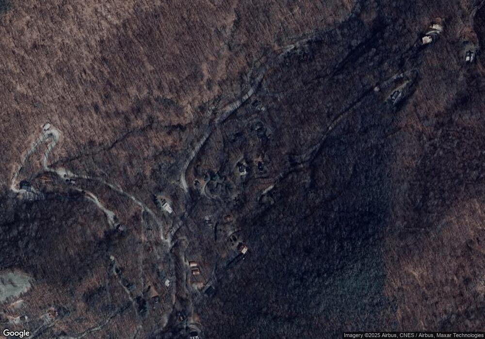
Map
Nearby Homes
- 59 Lost Cove Rd
- 00 Shady Rest Dr Unit 37
- 32 Sallywood Trail
- 00 Ellenberger Dr Unit 401
- 00 Trickle Creek Rd
- 128 Rome Beauty Rd
- 8 Lots Frontier Way
- 0 Camden Downs Rd Unit Lot 9
- 505 Middle Top Loop
- 31 Windsong Dr
- 287 Leatherwood Rd
- 11 Prosperity Ridge
- 110 Clear Creek Ln
- 114 Clear Creek Ln
- 261 Serenity Dr
- 4 Roaring Creek Ln
- 000 Roaring Creek Ln
- 000 Songbird Trail
- 574 Leatherwood Dr
- 3 Michael Dr Unit 3
- 34 Shady Rest Dr
- 171 Shady Rest Dr
- 103 Shady Rest Dr
- 37 Shady Rest Dr
- 116 Shady Rest Dr
- 2 Shady Rest Dr
- 49 Singingwater Ln
- 90 Shady Rest Dr
- 271 Shady Rest Dr
- 112 Shady Rest Dr
- 25 Miner Rd
- 208 Shady Rest Dr
- 28 Lost Cove Rd
- 0 Shady Rest Dr Unit 37
- 85 Miner Rd
- 161 Singingwater Ln
- 36 Miner Rd Unit 36
- 886 Tumbling Fork Rd
- 73 Solid Rock Ln
- 920 Tumbling Fork Rd