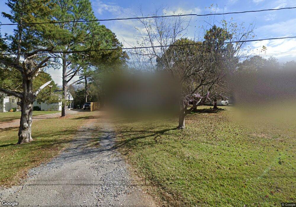
151 Sherwood Cir Rock Hill, SC 29730
Estimated Value: $274,226 - $400,000
--
Bed
--
Bath
1,983
Sq Ft
$174/Sq Ft
Est. Value
About This Home
This home is located at 151 Sherwood Cir, Rock Hill, SC 29730 and is currently estimated at $345,557, approximately $174 per square foot. 151 Sherwood Cir is a home with nearby schools including Oakdale Elementary School, Saluda Trail Middle School, and South Pointe High School.
Ownership History
Date
Name
Owned For
Owner Type
Purchase Details
Closed on
Aug 14, 2020
Sold by
Odonnell James Robert
Bought by
Parrish Angela Marlene Odonnell
Current Estimated Value
Purchase Details
Closed on
Aug 11, 2020
Sold by
Donnell Jr James R O
Bought by
Parrish Angela Marlene Odonnell and Parrish Dannell Jr
Purchase Details
Closed on
Sep 23, 2015
Sold by
Estate Of James Robert Odonnell Sr
Bought by
Odonnell Brenda M
Purchase Details
Closed on
Aug 11, 2015
Sold by
Estate Of James R O Donnell Sr
Bought by
Donnell Brenda M O
Create a Home Valuation Report for This Property
The Home Valuation Report is an in-depth analysis detailing your home's value as well as a comparison with similar homes in the area
Home Values in the Area
Average Home Value in this Area
Purchase History
| Date | Buyer | Sale Price | Title Company |
|---|---|---|---|
| Parrish Angela Marlene Odonnell | -- | None Available | |
| Parrish Angela Marlene Odonnell | -- | None Available | |
| Odonnell Brenda M | -- | -- | |
| Donnell Brenda M O | -- | -- |
Source: Public Records
Tax History Compared to Growth
Tax History
| Year | Tax Paid | Tax Assessment Tax Assessment Total Assessment is a certain percentage of the fair market value that is determined by local assessors to be the total taxable value of land and additions on the property. | Land | Improvement |
|---|---|---|---|---|
| 2024 | $3,043 | $6,876 | $3,000 | $3,876 |
| 2023 | $3,047 | $6,876 | $3,000 | $3,876 |
| 2022 | $2,904 | $6,876 | $3,000 | $3,876 |
| 2021 | -- | $6,876 | $3,000 | $3,876 |
| 2020 | $2,709 | $6,545 | $0 | $0 |
| 2019 | $531 | $6,480 | $0 | $0 |
| 2018 | $2,709 | $6,480 | $0 | $0 |
| 2017 | $2,616 | $6,480 | $0 | $0 |
| 2016 | $2,564 | $6,480 | $0 | $0 |
| 2014 | $2,641 | $6,480 | $2,160 | $4,320 |
| 2013 | $2,641 | $6,960 | $2,160 | $4,800 |
Source: Public Records
Map
Nearby Homes
- 421 Lakeside Dr
- 306 Red Fox Trail
- 172 Fairway Cir
- 288 Fairway Cir
- 446 Eden Oaks Dr
- 805 Brunswick Dr
- 263 Fairway Cir
- 1456 Hyacinthia Ln
- 846 Mallory Dr
- 711 Forest Rd
- 690 Forest Rd
- 1209 Shenandoah Cir
- 1212 Shenandoah Cir
- 753 Schuyler Dr
- 1361 Mount Holly Rd
- 352 Anvil Draw Place
- 264 Abigail Ct
- 231 Anvil Draw Place
- 1634 Dawson Ct
- 806 Windblown Place
- 141 Sherwood Cir
- 161 Sherwood Cir
- 171 Sherwood Cir
- 131 Sherwood Cir
- 150 Sherwood Cir
- 140 Sherwood Cir
- 331 Stephanie Ln
- 311 Stephanie Ln
- 691 Lakeside Dr
- 341 Stephanie Ln
- 180 Sherwood Cir
- 351 Stephanie Ln
- 683 Lakeside Dr
- 359 Stephanie Ln
- 361 Stephanie Ln
- LOT702 Sherwood Cir
- 312 Stephanie Ln Unit 804
- 322 Stephanie Ln
- 202 Sherwood Cir
- 332 Stephanie Ln