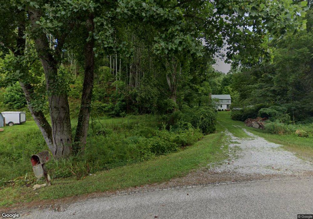
151 Stone Pile Gap Rd Bryson City, NC 28713
Estimated Value: $154,000 - $260,000
2
Beds
2
Baths
1,233
Sq Ft
$186/Sq Ft
Est. Value
About This Home
This home is located at 151 Stone Pile Gap Rd, Bryson City, NC 28713 and is currently estimated at $229,298, approximately $185 per square foot. 151 Stone Pile Gap Rd is a home located in Swain County with nearby schools including Swain County Middle School, Swain County East Elementary School, and Swain County High School.
Ownership History
Date
Name
Owned For
Owner Type
Purchase Details
Closed on
Jul 27, 2017
Sold by
Bowers Joyce F and Betty Joyce Faulkner Bowers Li
Bought by
Sorak Glenda K and Sorak Ruth E
Current Estimated Value
Home Financials for this Owner
Home Financials are based on the most recent Mortgage that was taken out on this home.
Original Mortgage
$90,000
Interest Rate
3.99%
Mortgage Type
Seller Take Back
Purchase Details
Closed on
Jan 29, 2014
Sold by
Sorak Glenda K and Sorak David
Bought by
Bowers Joyce F and The Joyce F Bowers Living Trust
Create a Home Valuation Report for This Property
The Home Valuation Report is an in-depth analysis detailing your home's value as well as a comparison with similar homes in the area
Home Values in the Area
Average Home Value in this Area
Purchase History
| Date | Buyer | Sale Price | Title Company |
|---|---|---|---|
| Sorak Glenda K | $90,000 | None Available | |
| Bowers Joyce F | $90,000 | None Available |
Source: Public Records
Mortgage History
| Date | Status | Borrower | Loan Amount |
|---|---|---|---|
| Previous Owner | Sorak Glenda K | $90,000 |
Source: Public Records
Tax History Compared to Growth
Tax History
| Year | Tax Paid | Tax Assessment Tax Assessment Total Assessment is a certain percentage of the fair market value that is determined by local assessors to be the total taxable value of land and additions on the property. | Land | Improvement |
|---|---|---|---|---|
| 2025 | $533 | $101,830 | $28,840 | $72,990 |
| 2024 | $533 | $101,830 | $28,840 | $72,990 |
| 2023 | $482 | $101,830 | $28,840 | $72,990 |
| 2022 | $482 | $101,830 | $28,840 | $72,990 |
| 2021 | $482 | $101,830 | $0 | $0 |
| 2020 | $480 | $112,510 | $40,110 | $72,400 |
| 2019 | $480 | $112,510 | $40,110 | $72,400 |
| 2018 | $480 | $112,510 | $40,110 | $72,400 |
| 2017 | $480 | $112,510 | $40,110 | $72,400 |
| 2016 | $480 | $112,510 | $40,110 | $72,400 |
| 2015 | -- | $112,510 | $40,110 | $72,400 |
| 2014 | -- | $112,510 | $40,110 | $72,400 |
Source: Public Records
Map
Nearby Homes
- Lot 37 Deeplow Gap None
- Lot 4 Chimneytop Heights
- 44 Thomas Divide Trail
- Lot 4 Chimney Top Heights
- Lot 40 the Knoll None
- Lot 42 the Knoll None
- 336 Berry Ln
- Lot 45 Thomas Divide Trail
- Lot 44 Thomas Divide Trail
- 60 Walden Pond Rd
- 0 Ela Rd
- 1703 W Deep Creek Rd
- 53 Dakota Way Unit 4
- 53 Dakota Way
- 4B Dakota Way
- 1644 W Deep Creek Rd
- 108-2 Elks Cir
- 5204 Ela Rd
- 331 Ela Heights Rd
- 301 Bailey Ave
- 2260 Galbraith Creek Rd
- 2260 Galbraith Creek Rd
- 2320 Galbraith Creek Rd
- 0 Galbraith Creek Rd
- 95 Johnathan Ln
- 141 Johnathan Ln
- 141 Johnathan Walk
- 334 Stone Pile Gap Rd
- 338 Stone Pile Gap Rd
- 0 Jonathan Walk
- 400 Stone Pile Gap Rd
- 425 Stone Pile Gap Rd
- 425 Stone Pile Gap Rd
- 1 Jonathan Ln
- 55 Tripp Jack Rd
- 125 Mulberry Ln
- 126 Johnathan Walk
- 86 Tripp Jack Rd
- 34 Johnathan Ln