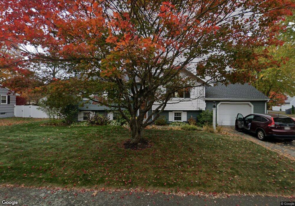
151 Storey Ave Newburyport, MA 01950
Estimated Value: $729,000 - $929,000
3
Beds
2
Baths
2,062
Sq Ft
$399/Sq Ft
Est. Value
About This Home
This home is located at 151 Storey Ave, Newburyport, MA 01950 and is currently estimated at $823,462, approximately $399 per square foot. 151 Storey Ave is a home located in Essex County with nearby schools including Francis T. Bresnahan Elementary School, Edward G. Molin Elementary School, and Rupert A. Nock Middle School.
Ownership History
Date
Name
Owned For
Owner Type
Purchase Details
Closed on
May 21, 2021
Sold by
Schulte Kimberly A and Schulte Mark E
Bought by
Smith John W and Smith Susan A
Current Estimated Value
Home Financials for this Owner
Home Financials are based on the most recent Mortgage that was taken out on this home.
Original Mortgage
$225,000
Outstanding Balance
$203,906
Interest Rate
3.1%
Mortgage Type
Purchase Money Mortgage
Estimated Equity
$619,556
Purchase Details
Closed on
Dec 4, 2020
Sold by
Schulte Mark E
Bought by
Schulte Kimberly A
Purchase Details
Closed on
Mar 18, 2015
Sold by
Patzke Rt and Dixon Andrea
Bought by
Schulte Mark E
Home Financials for this Owner
Home Financials are based on the most recent Mortgage that was taken out on this home.
Original Mortgage
$383,062
Interest Rate
3.6%
Mortgage Type
New Conventional
Purchase Details
Closed on
Apr 22, 2009
Sold by
Patske Mary B
Bought by
Patzke Tr Mary B
Create a Home Valuation Report for This Property
The Home Valuation Report is an in-depth analysis detailing your home's value as well as a comparison with similar homes in the area
Home Values in the Area
Average Home Value in this Area
Purchase History
| Date | Buyer | Sale Price | Title Company |
|---|---|---|---|
| Smith John W | $600,000 | None Available | |
| Schulte Kimberly A | -- | None Available | |
| Schulte Mark E | $375,000 | -- | |
| Patzke Tr Mary B | -- | -- |
Source: Public Records
Mortgage History
| Date | Status | Borrower | Loan Amount |
|---|---|---|---|
| Open | Smith John W | $225,000 | |
| Previous Owner | Schulte Mark E | $383,062 |
Source: Public Records
Tax History Compared to Growth
Tax History
| Year | Tax Paid | Tax Assessment Tax Assessment Total Assessment is a certain percentage of the fair market value that is determined by local assessors to be the total taxable value of land and additions on the property. | Land | Improvement |
|---|---|---|---|---|
| 2025 | $6,545 | $683,200 | $397,800 | $285,400 |
| 2024 | $6,451 | $647,000 | $361,600 | $285,400 |
| 2023 | $6,105 | $568,400 | $314,400 | $254,000 |
| 2022 | $5,676 | $472,600 | $262,000 | $210,600 |
| 2021 | $5,118 | $404,900 | $238,200 | $166,700 |
| 2020 | $5,232 | $407,500 | $238,200 | $169,300 |
| 2019 | $5,330 | $407,500 | $238,200 | $169,300 |
| 2018 | $5,093 | $384,100 | $226,900 | $157,200 |
| 2017 | $4,872 | $362,200 | $216,100 | $146,100 |
| 2016 | $4,712 | $351,900 | $205,800 | $146,100 |
| 2015 | $4,353 | $326,300 | $205,800 | $120,500 |
Source: Public Records
Map
Nearby Homes
- 10 Clipper Way
- 231 Storey Ave
- 6 Woodman Way Unit 122
- 6 Woodman Way Unit 402
- 17 Lavalley Ln
- 16 Newhall Ln
- 6 Boyd Dr
- 8 Brown Ave
- 43 Ferry Rd
- 42 Myrtle Ave
- 12 Roosevelt Place
- 100 Turkey Hill Rd
- 6 Doe Run Dr
- 2 Hunter Dr
- 20 Cushing Ave
- 30 Dorothy e Lucey Dr
- 138 Low St
- 29 Columbus Ave
- 572 Merrimac St
- 510 Merrimac St Unit 512
- 149 Storey Ave
- 3 Virginia Ln
- 2 Storeybrook Dr
- 4 Virginia Ln
- 4 Virginia Ln Unit n/a
- 5 Virginia Ln
- 4 Storeybrooke Rd
- 4 Storeybrook Dr
- 1 Storeybrooke Rd
- 1 Storeybrook Dr
- 3 Storeybrook Dr
- 7 Virginia Ln
- 6 Virginia Ln
- 6 Storeybrook Dr
- 5 Storeybrook Dr
- 1 Lt Leary Dr
- 4 Lt Leary Dr
- 7 Storeybrooke Rd
- 9 Virginia Ln
- 7 Storeybrook Dr