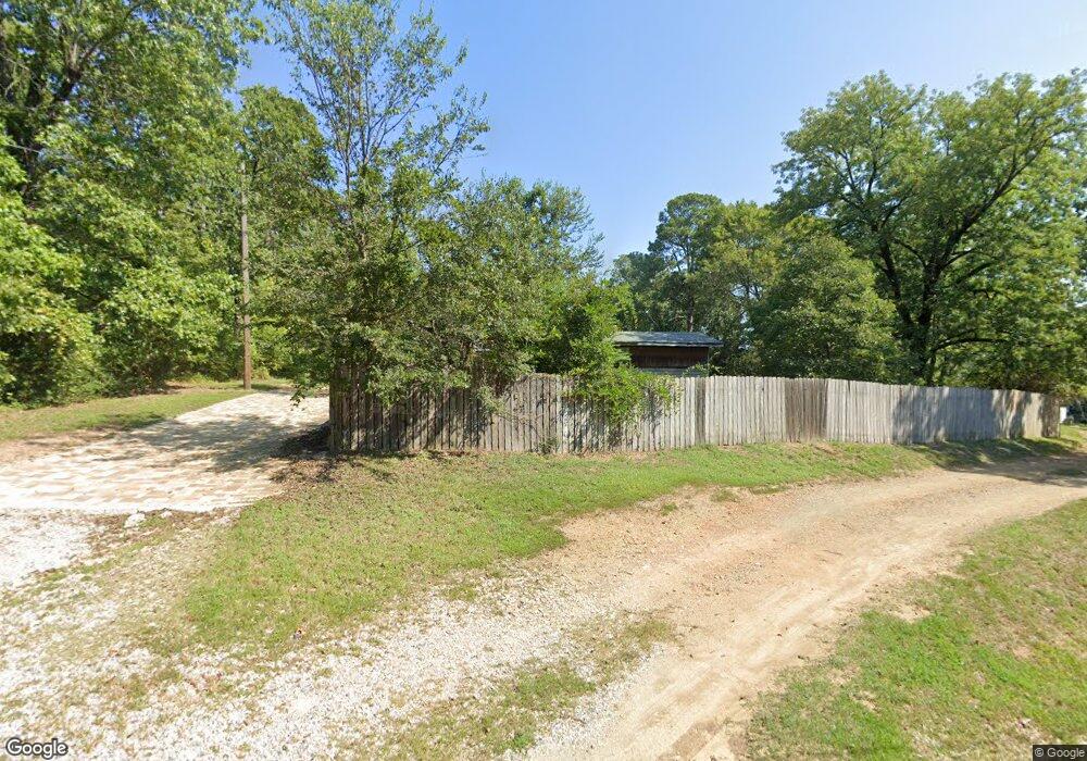
151 Timbs Place Hot Springs National Park, AR 71913
Estimated Value: $134,315 - $222,000
--
Bed
1
Bath
1,440
Sq Ft
$118/Sq Ft
Est. Value
About This Home
This home is located at 151 Timbs Place, Hot Springs National Park, AR 71913 and is currently estimated at $170,329, approximately $118 per square foot. 151 Timbs Place is a home located in Garland County with nearby schools including Lake Hamilton Primary School, Lake Hamilton Elementary School, and Lake Hamilton Interm. School.
Ownership History
Date
Name
Owned For
Owner Type
Purchase Details
Closed on
Nov 7, 2016
Sold by
Dennis D Carson
Bought by
Henthorn Wesley and Henthorn Brandy
Current Estimated Value
Home Financials for this Owner
Home Financials are based on the most recent Mortgage that was taken out on this home.
Original Mortgage
$60,000
Outstanding Balance
$48,223
Interest Rate
3.54%
Estimated Equity
$122,106
Purchase Details
Closed on
Jul 27, 1990
Sold by
Not Provided
Bought by
Carson Dennis D and Carson Ruth A
Purchase Details
Closed on
Mar 2, 1988
Bought by
Sullivan Robert M
Purchase Details
Closed on
Jan 1, 1901
Create a Home Valuation Report for This Property
The Home Valuation Report is an in-depth analysis detailing your home's value as well as a comparison with similar homes in the area
Home Values in the Area
Average Home Value in this Area
Purchase History
| Date | Buyer | Sale Price | Title Company |
|---|---|---|---|
| Henthorn Wesley | -- | -- | |
| Carson Dennis D | $30,000 | -- | |
| Sullivan Robert M | $25,900 | -- | |
| -- | -- | -- |
Source: Public Records
Mortgage History
| Date | Status | Borrower | Loan Amount |
|---|---|---|---|
| Open | Not Available From County | $60,000 | |
| Closed | Not Available From County | -- |
Source: Public Records
Tax History Compared to Growth
Tax History
| Year | Tax Paid | Tax Assessment Tax Assessment Total Assessment is a certain percentage of the fair market value that is determined by local assessors to be the total taxable value of land and additions on the property. | Land | Improvement |
|---|---|---|---|---|
| 2025 | $878 | $22,520 | $4,500 | $18,020 |
| 2024 | $805 | $22,520 | $4,500 | $18,020 |
| 2023 | $743 | $22,520 | $4,500 | $18,020 |
| 2022 | $756 | $22,520 | $4,500 | $18,020 |
| 2021 | $685 | $14,130 | $3,000 | $11,130 |
| 2020 | $685 | $14,130 | $3,000 | $11,130 |
| 2019 | $625 | $14,130 | $3,000 | $11,130 |
| 2018 | $625 | $14,130 | $3,000 | $11,130 |
| 2017 | $625 | $14,130 | $3,000 | $11,130 |
| 2016 | $226 | $13,030 | $3,000 | $10,030 |
| 2015 | $226 | $13,030 | $3,000 | $10,030 |
| 2014 | $225 | $13,030 | $3,000 | $10,030 |
Source: Public Records
Map
Nearby Homes
- 314 Marion Anderson Rd Unit 2
- 314 Marion Anderson Rd Unit 320 Marion Anderson
- 328 S Danna Dr
- 109 Copper Mountain Loop
- Lot 27 Hunterscove Terrace
- 12 Stonegate Ct
- 58 Stonegate Terrace
- 116 Brookdell Place
- 7 Stonegate Ln
- Lot 2 Stonegate Heights
- 102 Winchester Point
- 159 Bledsoe Cir
- 70 Stonegate Terrace
- 105 Briarcroft Dr
- 171 Old Oak
- 30 Stonegate Shores Dr
- 78 Stonegate Shores Dr
- 146 Kaufman Rd
- 34 Stonegate Shores Dr
- 112 Pine Shore Ln
- 140 Timbs Place
- 215 Cessna Cir
- 410 Cain Rd
- 410 Cain Rd
- 331 Adcock Rd
- 325 Adcock Rd
- 323 Marion Anderson Rd Unit 3
- 323 Marion Anderson Rd
- 213 Cessna Cir
- 301 Marion Anderson Rd
- 214 Cessna Cir
- 342 Cain Rd
- 211 Cessna Cir
- 110 Hunterscove Ln
- 341 Cain Rd
- 212 Cessna Cir
- 141 Bradford Rd
- 110 Hunterscove Ct
- 339 Cain Rd
- 235 Adcock Rd