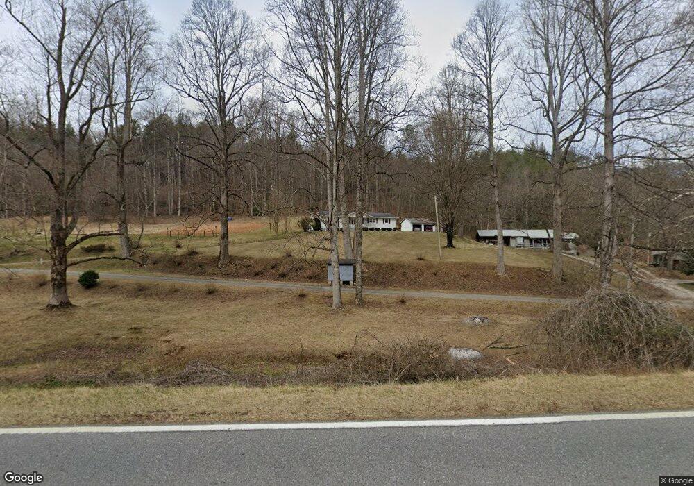
151 Tunnel Ridge Rd Andrews, NC 28901
Estimated Value: $215,043 - $568,000
3
Beds
1
Bath
1,482
Sq Ft
$214/Sq Ft
Est. Value
About This Home
This home is located at 151 Tunnel Ridge Rd, Andrews, NC 28901 and is currently estimated at $317,511, approximately $214 per square foot. 151 Tunnel Ridge Rd is a home located in Cherokee County with nearby schools including Andrews Elementary School, Andrews Middle School, and Andrews High School.
Ownership History
Date
Name
Owned For
Owner Type
Purchase Details
Closed on
Jun 10, 2019
Sold by
Owenby Pearly G and Owenby Elaine
Bought by
Owenby Owenby Robert Mark Robert Mark and Owenby Brendle Kimberly Elaine
Current Estimated Value
Purchase Details
Closed on
Jul 18, 2011
Sold by
Rickett Lee Ellen Luther and Luther Oran C
Bought by
Owenby Pearly G and Owenby Elaine
Purchase Details
Closed on
Jan 1, 1966
Bought by
Owenby Pearly G and Owenby Elaine
Create a Home Valuation Report for This Property
The Home Valuation Report is an in-depth analysis detailing your home's value as well as a comparison with similar homes in the area
Home Values in the Area
Average Home Value in this Area
Purchase History
| Date | Buyer | Sale Price | Title Company |
|---|---|---|---|
| Owenby Owenby Robert Mark Robert Mark | -- | None Available | |
| Owenby Pearly G | -- | None Available | |
| Owenby Pearly G | -- | -- |
Source: Public Records
Tax History Compared to Growth
Tax History
| Year | Tax Paid | Tax Assessment Tax Assessment Total Assessment is a certain percentage of the fair market value that is determined by local assessors to be the total taxable value of land and additions on the property. | Land | Improvement |
|---|---|---|---|---|
| 2025 | $690 | $91,070 | $0 | $0 |
| 2024 | $680 | $91,070 | $0 | $0 |
| 2023 | $680 | $91,070 | $0 | $0 |
| 2022 | $680 | $91,070 | $0 | $0 |
| 2021 | $580 | $91,070 | $9,250 | $81,820 |
| 2020 | $543 | $91,070 | $0 | $0 |
| 2019 | $684 | $103,330 | $0 | $0 |
| 2018 | $684 | $103,330 | $0 | $0 |
| 2017 | $682 | $103,330 | $0 | $0 |
| 2016 | $682 | $103,330 | $0 | $0 |
| 2015 | $673 | $103,330 | $23,490 | $79,840 |
| 2012 | -- | $103,330 | $23,490 | $79,840 |
Source: Public Records
Map
Nearby Homes
- LT 170 Granny Squirrel Dr
- 45 Looking Glass Rd
- Lot 46 Ridge View Dr
- 1621 Granny Squirrel Dr
- Lot 34 Grandview Falls
- 35 & 36 Cahill Dr
- 00 Cahill Dr
- 24 Cahill Dr
- Lot 22 Laramie Heights
- 221 Serenity Ridge Trail
- Lot 51 Grand View Falls
- 984 Cahill Dr
- 200 Conager Trail
- TBD Mclean Rd
- 21804 U S 19
- 2555 Junaluska Rd
- 465 Robinson Rd
- 317 Robinson Rd
- Lot 16 Warrior Way
- 16 Warrior Way
- 95 Tunnel Ridge Rd
- 14 Phillip Dean Rd
- 00 Hwy 19 129 74
- 00 Glen Hay Dr
- 101 Upward Way
- 19704 Us 19
- 19706 U S Highway 19
- TBD Phillip Dean Rd
- L14 Phillip Dean Rd
- 0 Phillip Dean Rd
- L 14 Phillip Dean Rd
- 000 Phillip Dean Rd
- 16 Phillip Dean Rd
- 00 Phillip Dean Rd
- 19706 Us 19
- 19706 U S 19
- 00 Glen Hay Dr
- 106 Upward Way
- 100 Glenn Dr
- 100 Glenn Dr