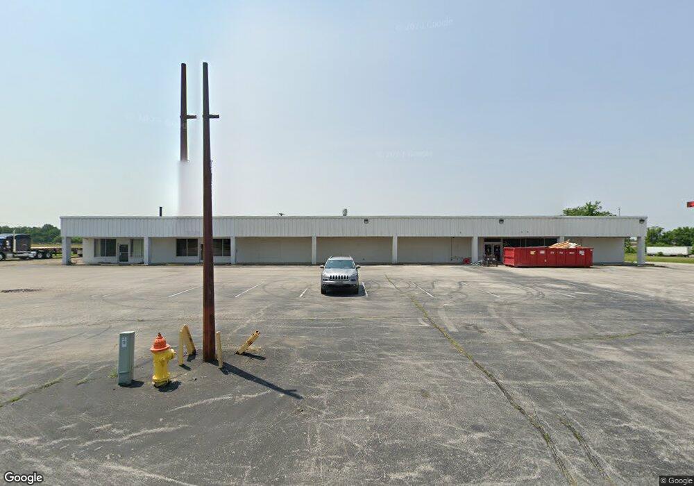
151 Vincent St Smiths Grove, KY 42171
Estimated Value: $3,326,084
Studio
--
Bath
18,140
Sq Ft
$183/Sq Ft
Est. Value
About This Home
This home is located at 151 Vincent St, Smiths Grove, KY 42171 and is currently estimated at $3,326,084, approximately $183 per square foot. 151 Vincent St is a home located in Warren County with nearby schools including North Warren Elementary School, Warren East Middle School, and Warren East High School.
Ownership History
Date
Name
Owned For
Owner Type
Purchase Details
Closed on
Mar 10, 2026
Sold by
Fawbush Properties Llc
Bought by
T J Regional Health Inc
Current Estimated Value
Purchase Details
Closed on
Sep 20, 2024
Sold by
Fawbush Properties Llc
Bought by
T J Regional Health Inc
Purchase Details
Closed on
Apr 28, 2023
Sold by
Buhr Rock Inc
Bought by
Fawbush Properties Llc
Home Financials for this Owner
Home Financials are based on the most recent Mortgage that was taken out on this home.
Original Mortgage
$911,545
Interest Rate
6.6%
Mortgage Type
New Conventional
Create a Home Valuation Report for This Property
The Home Valuation Report is an in-depth analysis detailing your home's value as well as a comparison with similar homes in the area
Purchase History
| Date | Buyer | Sale Price | Title Company |
|---|---|---|---|
| T J Regional Health Inc | $3,200,000 | None Listed On Document | |
| T J Regional Health Inc | $3,200,000 | None Listed On Document | |
| Fawbush Properties Llc | $730,000 | None Listed On Document | |
| Fawbush Properties Llc | $1,170,000 | None Listed On Document |
Source: Public Records
Mortgage History
| Date | Status | Borrower | Loan Amount |
|---|---|---|---|
| Previous Owner | Fawbush Properties Llc | $911,545 |
Source: Public Records
Tax History
| Year | Tax Paid | Tax Assessment Tax Assessment Total Assessment is a certain percentage of the fair market value that is determined by local assessors to be the total taxable value of land and additions on the property. | Land | Improvement |
|---|---|---|---|---|
| 2025 | $27,030 | $3,200,000 | $0 | $0 |
| 2024 | $6,279 | $730,000 | $0 | $0 |
| 2023 | $3,286 | $375,000 | $0 | $0 |
| 2022 | $3,072 | $375,000 | $0 | $0 |
| 2021 | $3,061 | $375,000 | $0 | $0 |
| 2020 | $3,071 | $375,000 | $0 | $0 |
| 2019 | $3,064 | $375,000 | $0 | $0 |
| 2018 | $3,050 | $375,000 | $0 | $0 |
| 2017 | $3,028 | $375,000 | $0 | $0 |
| 2015 | $2,621 | $330,000 | $0 | $0 |
| 2014 | $2,581 | $330,000 | $0 | $0 |
Source: Public Records
Map
Nearby Homes
- 0 Stanley Rice Rd
- 204 Ridgecrest St
- 355 Laurel St
- 0 Middlebrook Ln Unit RA20224436
- 0 Kingsbridge Ct Unit RA20224435
- 43 Chestnut St
- 0 Walnut Grove Dr Unit RA20243345
- 42 Beech St
- 231 Broadway St
- 215 N Main St
- 577 N Main St
- 317 E 4th St
- Lot 4 Courtlynn Dr
- 435 N Main St
- Lot 5 Courtlynn Dr
- 110 E 5th St
- 539 Lot 3 Rocky Hill Rd
- 539 Lot 2 Rocky Hill Rd
- 539 Lot 4 Rocky Hill Rd
- Lot 4 Rocky Hill Rd
- 0 Vincent St Unit 119959
- Lot 7-4 Vincent St
- Lot 7-3 Vincent St
- 0 Vincent St Unit 20161670
- 0 Vincent St Unit 20171063
- 0 Vincent St Unit Stanley Rice Road
- 0 Vincent St Unit Lot 7-4 RA20161671
- 175 Vincent St
- 592 Vincent St
- 170 Vincent St
- 192 Vincent St Unit C6 192 Vincent St
- 192 Vincent St Unit C3
- 192 Vincent St Unit A4
- 192 Vincent St
- 592 S Main St
- 229 Brown St
- 414 Highland Ave
- 214 Witherspoon St
- 562 S Main St
- 341 Lawson St
Your Personal Tour Guide
Ask me questions while you tour the home.