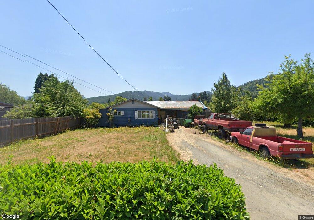
151 W Cedar St Powers, OR 97466
Estimated Value: $218,728 - $259,000
3
Beds
1
Bath
1,008
Sq Ft
$237/Sq Ft
Est. Value
About This Home
This home is located at 151 W Cedar St, Powers, OR 97466 and is currently estimated at $238,864, approximately $236 per square foot. 151 W Cedar St is a home with nearby schools including Powers High School.
Create a Home Valuation Report for This Property
The Home Valuation Report is an in-depth analysis detailing your home's value as well as a comparison with similar homes in the area
Tax History
| Year | Tax Paid | Tax Assessment Tax Assessment Total Assessment is a certain percentage of the fair market value that is determined by local assessors to be the total taxable value of land and additions on the property. | Land | Improvement |
|---|---|---|---|---|
| 2025 | $1,657 | $102,840 | -- | -- |
| 2024 | $1,574 | $99,850 | -- | -- |
| 2023 | $1,528 | $96,950 | $0 | $0 |
| 2022 | $1,504 | $94,130 | $0 | $0 |
| 2021 | $1,461 | $91,390 | $0 | $0 |
| 2020 | $1,391 | $91,390 | $0 | $0 |
| 2019 | $1,333 | $86,150 | $0 | $0 |
| 2018 | $1,295 | $83,650 | $0 | $0 |
| 2017 | $1,260 | $81,220 | $0 | $0 |
| 2016 | $1,222 | $78,860 | $0 | $0 |
| 2015 | $1,138 | $76,570 | $0 | $0 |
| 2014 | $1,138 | $74,340 | $0 | $0 |
Source: Public Records
Map
Nearby Homes
- 930 C Ave
- 130 E Date St
- 815 E Ave
- 173 E Date St
- 889 H Ave
- 631 2nd Ave
- 711 H Ave
- 510 Fir St
- 141 Poplar St
- 410 3rd Ave
- 309 4th Ave
- 45651 Johnson Mountain Rd
- 0 Johnson Mt Rd Unit 600 168667991
- 41308 S Powers Rd
- 46255 Highway 242
- 51014 Dement Creek Rd
- 15779 Oregon 42
- 16855 Highway 42
- 20191 Highway 42
- 000 Eden Valley Rd Unit 600
Your Personal Tour Guide
Ask me questions while you tour the home.