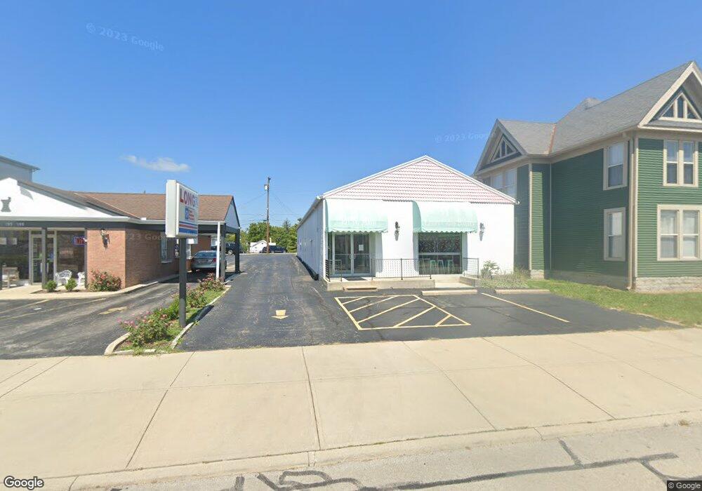
151 W Main St Wilmington, OH 45177
Estimated Value: $418,204
--
Bed
--
Bath
3,568
Sq Ft
$117/Sq Ft
Est. Value
About This Home
This home is located at 151 W Main St, Wilmington, OH 45177 and is currently estimated at $418,204, approximately $117 per square foot. 151 W Main St is a home located in Clinton County with nearby schools including East End Elementary School, Denver Place Elementary School, and Roy E. Holmes Elementary School.
Ownership History
Date
Name
Owned For
Owner Type
Purchase Details
Closed on
Feb 28, 2002
Sold by
Morand Mary L
Bought by
Fenton Mark D and Fenton Kathryn E
Current Estimated Value
Home Financials for this Owner
Home Financials are based on the most recent Mortgage that was taken out on this home.
Original Mortgage
$180,000
Outstanding Balance
$74,450
Interest Rate
6.92%
Mortgage Type
Commercial
Estimated Equity
$343,754
Purchase Details
Closed on
Feb 4, 1999
Sold by
Morand Thomas G
Bought by
Morand Mary Lou
Purchase Details
Closed on
Jan 1, 1990
Bought by
Morand Thomas G
Create a Home Valuation Report for This Property
The Home Valuation Report is an in-depth analysis detailing your home's value as well as a comparison with similar homes in the area
Home Values in the Area
Average Home Value in this Area
Purchase History
| Date | Buyer | Sale Price | Title Company |
|---|---|---|---|
| Fenton Mark D | $190,000 | -- | |
| Morand Mary Lou | -- | -- | |
| Morand Thomas G | -- | -- |
Source: Public Records
Mortgage History
| Date | Status | Borrower | Loan Amount |
|---|---|---|---|
| Open | Fenton Mark D | $180,000 |
Source: Public Records
Tax History Compared to Growth
Tax History
| Year | Tax Paid | Tax Assessment Tax Assessment Total Assessment is a certain percentage of the fair market value that is determined by local assessors to be the total taxable value of land and additions on the property. | Land | Improvement |
|---|---|---|---|---|
| 2024 | $2,285 | $52,960 | $7,420 | $45,540 |
| 2023 | $2,285 | $52,960 | $7,420 | $45,540 |
| 2022 | $1,744 | $39,170 | $8,230 | $30,940 |
| 2021 | $1,867 | $39,170 | $8,230 | $30,940 |
| 2020 | $1,804 | $39,170 | $8,230 | $30,940 |
| 2019 | $1,967 | $38,350 | $8,230 | $30,120 |
| 2018 | $1,943 | $38,350 | $8,230 | $30,120 |
| 2017 | $909 | $36,710 | $6,590 | $30,120 |
| 2016 | $2,236 | $36,300 | $0 | $0 |
| 2015 | $2,204 | $36,300 | $0 | $0 |
| 2013 | $2,108 | $36,300 | $0 | $0 |
Source: Public Records
Map
Nearby Homes
- 136 N Spring St
- 146 N Spring St
- 0 S US Rt 68 Unit 1527315
- 161 N Spring St
- 0 St Rt 134 Unit 1607133
- 0 N Wood St
- 70 Library Ave
- 668 Catalpa Dr
- 272 S Walnut St
- 1053 Main St
- 0 Antioch Rd Unit 891198
- 421 N Spring St
- 0 Prairie Rd Unit 1863689
- 0 Prairie Rd Unit 1835070
- 324 S Walnut St
- 338 S Walnut St
- 360 Summit St
- 373 Thorne Ave
- 329 Grant St
- 423 Howard St